Credits
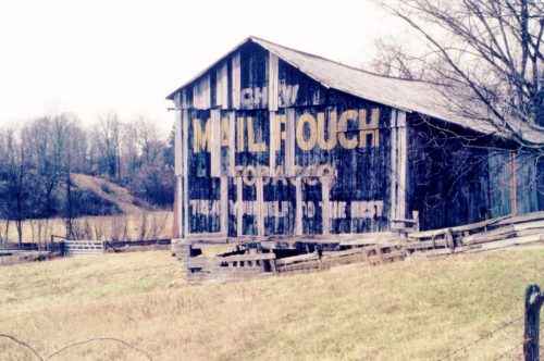
Photo 1 by Tom Plimpton (1987).
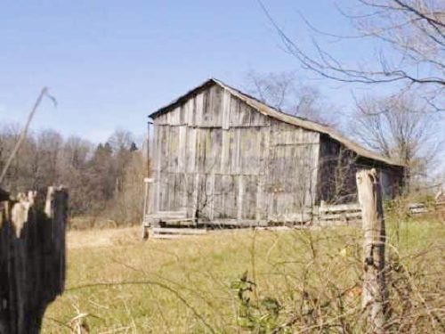
Photo 2 by unknown (2002).
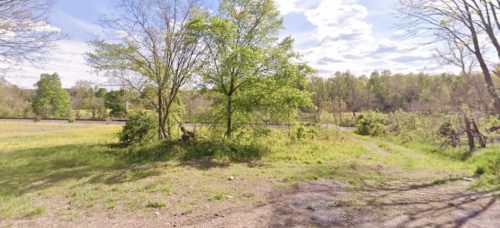
Photo 3 Google street view (may 2023).
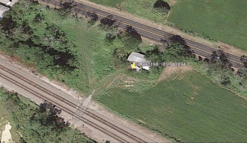
Photo 4 Google Earth Pro historic aerial imagery (Sept. 12, 2016).
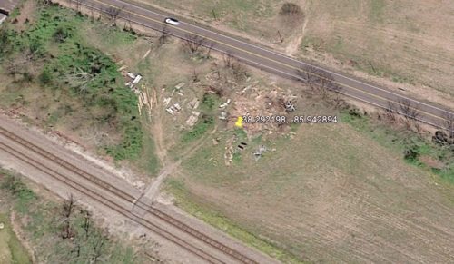
Photo 5 Google Earth Pro historic aerial imagery (Apr. 12, 2017).
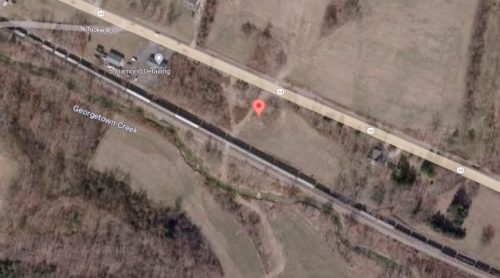
Photo 6 Google satellite image.
Other Information
"Original location information was "IN-64 west of I-64 about 2 miles". Historic Aerials' imagery was consulted and the barn was located. The distance measurement tool was used to obtain the decimal coordinates for the barn. These coordinates were used in the Google map program and the Google Earth Pro website. Photo 6 the red pin the exact location where the barn was located. The address for the site was determined based on the pin. The coordinates were used with the Google Earth Pro program and the historic imagery was reviewed. Photo 4, dated Sept. 12, 2016 shows the the barn was still standing on that date; however based on the 2002 view in Photo 2, by 2016 the Mail Pouch sign had probably completely faded away. The following April, 12, 2017 (Photo 5) the barn was down.
Photo 3 is a 2023 Google street view looking in at the site where the barn once stood.
Where to find it *GONE* (razed and removed) Along the southwest side of IN-64 west of I-64 intersection by 1.8 miles. The barn was on the left side of IN-64 headed west from I-64. The Mail Pouch sign faced southeast. One end. Black background.
