Other Information
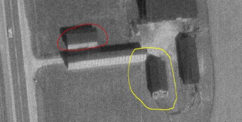
Photo 2 was rotated 90° and magnified for a better view of the Mail Pouch sign on the west end of the barn.
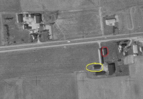
Photos 2 & 3 the Mail Pouch barn is circled in yellow. The barn, remaining on the site, is circled in red.
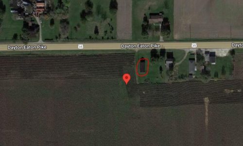
Photo 4 (Google satellite image) the red pin marks the former location of the Mail Pouch barn. The pin was used to determine the address and the coordinates. The barn remaining on the site is circled in red.
Where to find it *GONE *(razed and removed) Along the south side of US-35 (Dayton Eaton Pike) east of the Preble Co. line by 2.8 miles. The barn is on the right side of the road headed east. The Mail Pouch sign faced west. One end. Black Background.


