Other Information
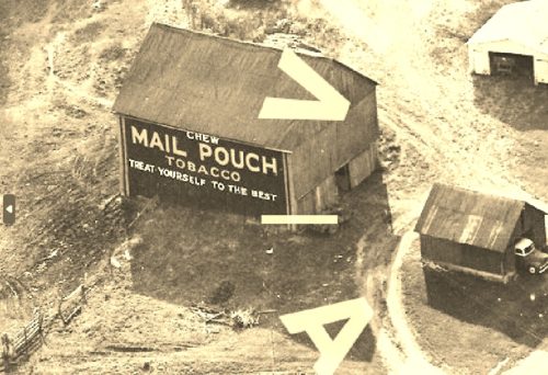
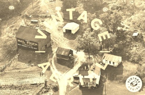
Photo 1 is an enlarged inset view from Photo 2.
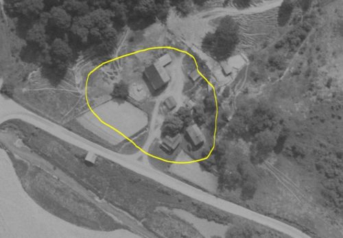
The Ohio Dept. of Transportation aerial photo archives were used to determine the exact location of the farm site pictured in Photo 2.
Photo 3 has been rotated to align with the site configuration shown in Photo 2. The prominent structures shown in Photo 2 are circled in lime in Photo 3.
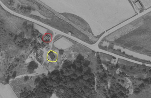
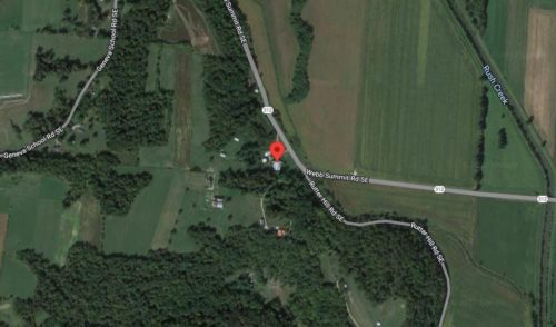
Photo 4 (ODOT aerial photo) is in the natural geographical configuration to coorrdinate with Photo 5 (Google satellite image). The red pin on the satellite image is the approximate location of the barn and this was used to determine the address and coordinates.
Where to find it *GONE* (razed and removed - replaced with new barn) Along the southwest side of Webb Summit Rd SE (OH-312) south of the Marietta St. intersection, in Bremen, by 2.7 miles. The barn was on the right side of the higway headed south. The Mail Pouch sign faced east. One side. Blace Backgrouns.
