Other Information
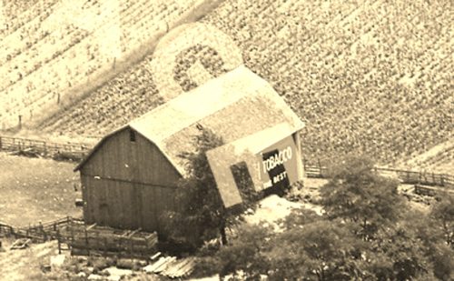
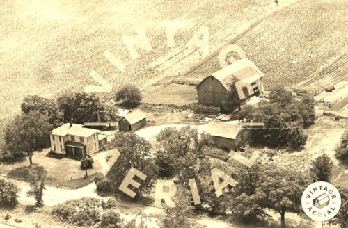
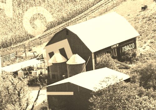
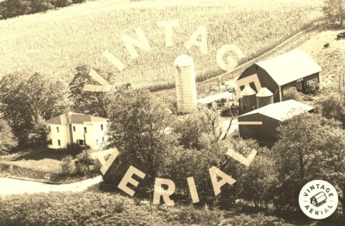
Photo 1 is an enlarged inset view from Photo 2 and Photo 4 is an enlarged inset view from Photo 5.
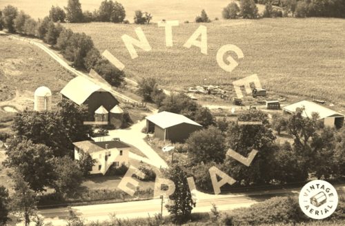
Using the Vintage Aerial magnifier on Photo 3, the top points of the 'M' in 'MAIL' is just visible.
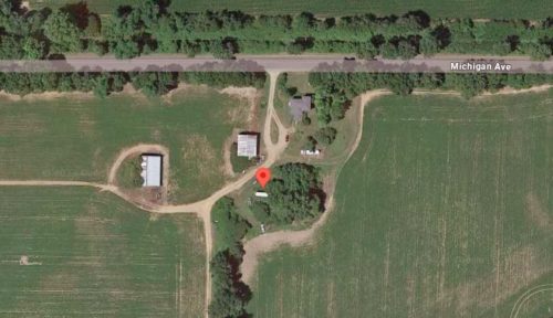
The Mail Pouch barn, other buildings and the site configuration is clearly visible in Historic Aerials' imagery(1955). None of the buildings shown in Photo 2 are now existing. The distance measurement tool was used to obtain the decimal coordinates for the Mail Pouch barn. The coordinates were input to the Google map program and the red pin on Photo 6 is the location where the Mail Pouch barn once stood.
The historic Aerials' imagery last shows the barn in 1981 imagery. The imgery for 1999 indicates the barn had been rezed and removed by that date.
Where to find it *GONE* Along the south side of E. Michigan Ave. east of the Kalamazoo Ave. traffic circle, in Marshall, by 3.8 miles. The barn was on the right side of E. Marshall Ave. headed east out of Marshall. Mail Pouch sign on east and west side of the barn. Black backgrounds.
