Other Information
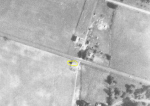
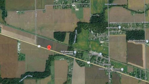
The barn and the site features are clearly shown in Historic Aerials' imagery (1956 & 1961) The imagery for 1984 show that the barn and the associated farm across US-52 had been razed and removed. Photo 3 1950 imagery, purchased from Indiana Geological & Water Survey, show the barn and farm across the highway. The distance measurement tool was used and the decimal coordinates for the center of the barn were obtained. The coordinates were input to the Google map program and the red pin on Photo 4 (Google satellite image) is the exact location where the barn was once located. This pin was used to determine the address.
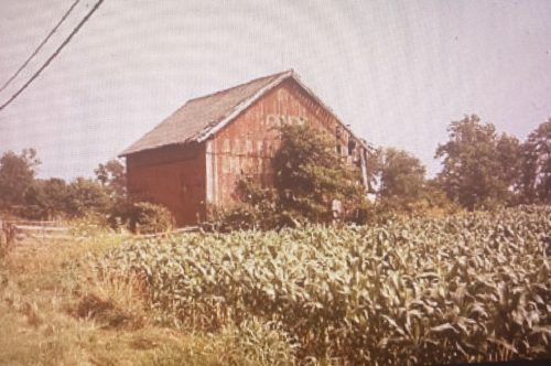
Photo 1 is a view of the northwest end of the barn.
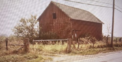
Photo 2 is a view of the southeast end of the barn.
The original background color of the Mail Pouch sign is not known. The sign was probably ca. 1950's and the barn was subsequently overpainted red. The Mail Pouch sign on the northwest end is most clear. If it was original red background the letters do not have the traditional black shading. The Mail Pouch sign on the southeast end is barely visible.
Where to find it *GONE* (razed and removed) Along the southwest side of US-52 southeast of the intersection with Depot St., in New Palestine, by 3.1 miles. The barn was on the right side of US-52 headed southeast from New Palestine. Two ends. Unknown original background color.


