Other Information
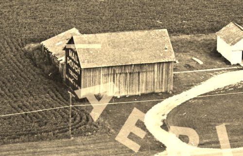
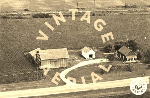
Photo 1 is an enlarged inset view from Photo 2.
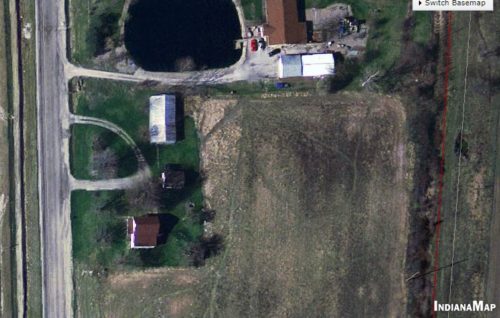
(Photo 3) INDOT aerial photo was used to help to coordinate the exact loation of this barn. This series of INDOT maps traces RR tracks which are abandonded and removed. In Photo 2 RR tracks are visible in the background. In Photo 3 the RR tracks (now gone) are visible in red running north to south at the right of the photo.
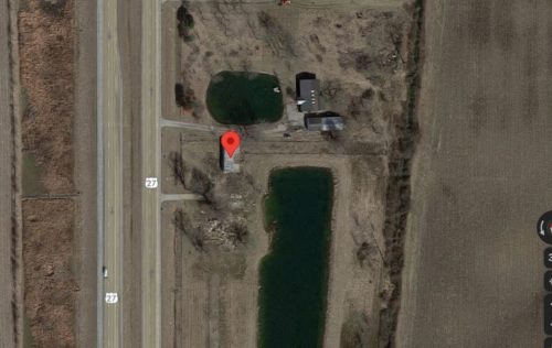
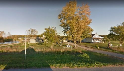
In Photo 3 the three buildings shown in Photo 2 are still existing. (Barn, house and the small garage between). By Oct 2016 Google street view (Photo 5) shows that the house and garage are still existing; however the barn had been replaced with a new structure. Photo 4 (Google satellite image ca. 2020) shows rubble where the house and the garage once stood. It appears that the replacement barn is still standing at that time. The red pin on the map was used to determine the address and the coordinates.
Where to find it *GONE* (razed and removed) Along the east side of US Rt. 27, south of the US Rt. 27/US Rt. 33 junction by 1.9 miles. The barn was on the left side of the highway headed south. The Mail Pouch sign faced north. One end. Black background.
