- [01] Adams Co, OH (18)
- [02] Allen Co, OH (2)
- [03] Ashland Co, OH (14)
- [04] Ashtabula Co, OH (11)
- [05] Athens Co, OH (20)
- [06] Auglaize Co, OH (5)
- [07] Belmont Co, OH (24)
- [08] Brown Co, OH (32)
- [09] Butler Co, OH (8)
- [10] Carroll Co, OH (22)
- [11] Champaign Co, OH (9)
- [12] Clark Co, OH (3)
- [13] Clermont Co, OH (10)
- [14] Clinton Co, OH (4)
- [15] Columbiana Co, OH (19)
- [16] Coshocton Co, OH (14)
- [17] Crawford Co, OH (13)
- [18] Cuyahoga Co, OH (15)
- [19] Darke Co, OH (8)
- [20] Defiance Co, OH (7)
- [21] Delaware Co, OH (10)
- [22] Erie Co, OH (4)
- [23] Fairfield Co, OH (9)
- [24] Fayette Co, OH (3)
- [25] Franklin Co, OH (12)
- [26] Fulton Co, OH (4)
- [27] Gallia Co, OH (9)
- [28] Geauga Co, OH (10)
- [29] Greene Co, OH (1)
- [30] Guernsey Co, OH (34)
- [31] Hamilton Co, OH (6)
- [32] Hancock Co, OH (5)
- [33] Hardin Co, OH (5)
- [34] Harrison Co, OH (15)
- [35] Henry Co, OH (4)
- [36] Highland Co, OH (15)
- [37] Hocking Co, OH (7)
- [38] Holmes Co, OH (12)
- [39] Huron Co, OH (15)
- [40] Jackson Co, OH (7)
- [41] Jefferson Co, OH (11)
- [42] Knox Co, OH (13)
- [43] Lake Co, OH (2)
- [44] Lawrence Co, OH (9)
- [45] Licking Co, OH (17)
- [46] Logan Co, OH (5)
- [47] Lorain Co, OH (13)
- [48] Lucas Co, OH (5)
- [49] Madison Co, OH (6)
- [50] Mahoning Co, OH (13)
- [51] Marion Co, OH (5)
- [52] Medina Co, OH (9)
- [53] Meigs Co, OH (15)
- [54] Mercer Co, OH (3)
- [55] Miami Co, OH (4)
- [56] Monroe Co, OH (28)
- [57] Montgomery Co, OH (11)
- [58] Morgan Co, OH (20)
- [59] Morrow Co, OH (9)
- [60] Muskingum Co, OH (24)
- [61] Noble Co, OH (15)
- [62] Ottawa Co, OH (8)
- [63] Paulding Co, OH (6)
- [64] Perry Co, OH (8)
- [65] Pickaway Co, OH (7)
- [66] Pike Co, OH (9)
- [67] Portage Co, OH (8)
- [68] Preble Co, OH (9)
- [69] Putnam Co, OH (9)
- [70] Richland Co, OH (11)
- [71] Ross Co, OH (7)
- [72] Sandusky Co, OH (8)
- [73] Scioto Co, OH (16)
- [74] Seneca Co, OH (16)
- [75] Shelby Co, OH (5)
- [76] Stark Co, OH (16)
- [77] Summit Co, OH (5)
- [78] Trumbull Co, OH (3)
- [79] Tuscarawas Co, OH (15)
- [80] Union Co, OH (9)
- [81] Van Wert Co, OH (5)
- [82] Vinton Co, OH (9)
- [83] Warren Co, OH (3)
- [84] Washington Co, OH (34)
- [85] Wayne Co, OH (20)
- [86] Williams Co, OH (4)
- [87] Wood Co, OH (5)
- [88] Wyandot Co, OH (10)
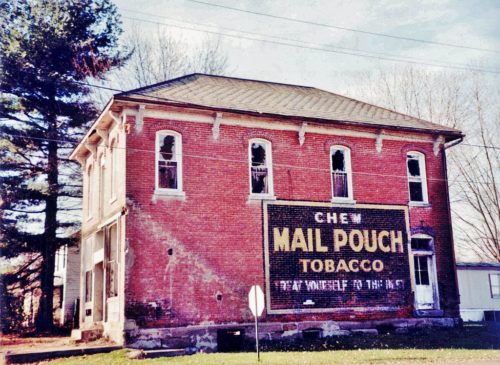
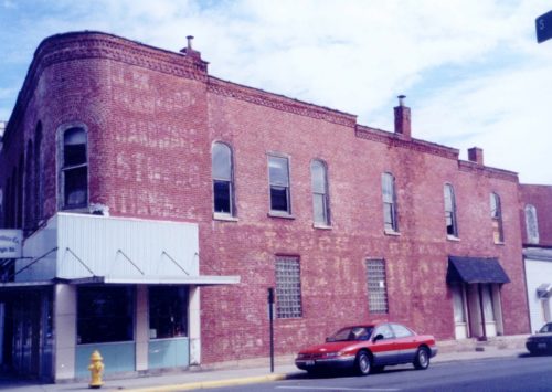
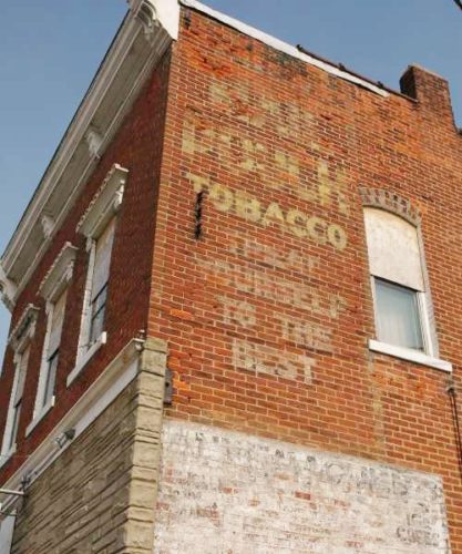
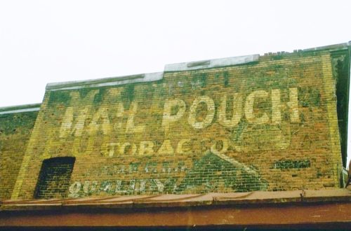
Northwest corner of Main St. & 1st St. intersection in the village of Sonora. North of I-70 (exit 160). One side brick building. MP sign with black background on brown brick building.
*GONE - Painted Over)* US Rt. 40 (Main St.), west of S. 2nd St. by about 440'. The 4 story masonry building is on the left side of the street headed west from S. 2nd St, The MPS faced west. The sign was adjacent to the BDS 35-60-16 sign, which has also been painted over. 4 story masonry building, one side, black.
*GONE* (building razed and removed) Along the northwest side of Linden Ave. (old Water St.) southwest of the Keen St. intersection, in West Zanesville, by 220' The two story brick building was on the right side of Linden Ave headed southwest from Keen St. The Mail Pouch sign faced southwest. Black Background.
Along the southeast side of Linden Avenue northeast of the Adair Ave (OH-60/OH-146) intersection, in Zanesville, by 0.2 mile. The two story birck building is on the right side of Linden Ave. headed northeast from Adair Ave. The Mail Pouch sign faces northeast. One side. Black Background. Greatly faded.
*GONE* (faded away) Along the west side of N. Genoa Clay Center Rd. (Main St. ext.) north of OH-163 (4th St.), in Genoa, by 0.2 mile. The brick building is on the left side of the street headed north. The Mail Pouch sign faced north. One side of brick building. Original Black Background.
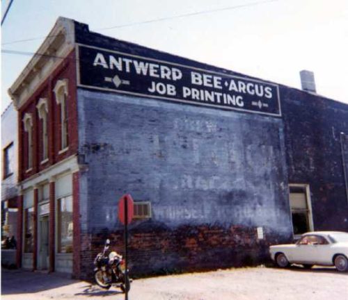
*GONE* (faded away)* Southwest corner of the intersection of OH-49 (N. Main St.) and Archer Dr., in Antwerp. The sign faced northwest. One side of brown brick building, which still stands. Original Black Background.
*GONE* (razed and removed) Along the south side of E. Perry St. (US-127) west of Main St. intersection by 110', in Paulding. The building was on the left side of the street headed west from Main St. The Mail Pouch sign faced east. One side. Brick building. Original Black Back ground.
*GONE* (razed and removed) Northeast corner of OH-114 (Main St.) & Harrison St. intersection, in Haviland. West of the US-127 intersection by 0.5 miles. The Mail Pouch sign faced west. One side. Brick building. Original Black Back ground.
*GONE* Along the east side of OH-93, in McCuneville, north of the OH-93/OH-155 junction (2nd St.), in Shawnee, by 2.2 miles. The building was on the right side of the highway headed north. The sign faced south. One side. Black Background.
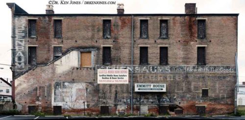
Along the southwest side of W. Main St. (US-22), between S. Court St. (CR-512) & S. Scioto St. The building is on the left side of the street headed northwest from S. Court St. To S. Scioto St. The Mail Pouch sign faces southeast. One wall of the brick building. Original Black Background. Greatly faded. Exterior stairs transects the Mail Pouch sign to a second level entry.
*GONE* (razed and removed) Directly east of the US-22 & OH-56 intersection, west of the Scioto St. intersection, in Circleville, by 1.4 miles. The house was on the left side of US-22 headed southwest from Circleville. The Mail Pouch sign faced northeast. One side. Original black background.
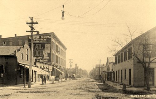
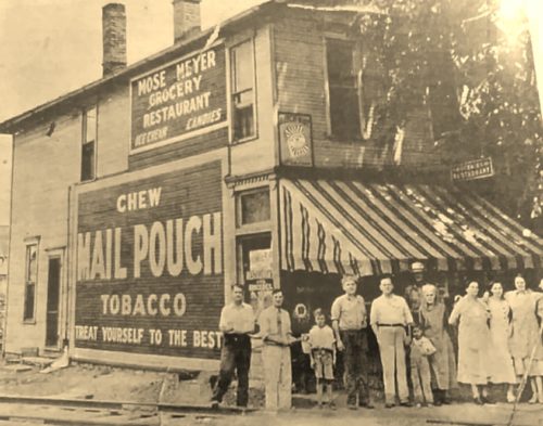
*GONE* (razed and removed) North corner of E. Emmitt Ave. (US-23/OH-335) & N. Market St. (OH-220), in Waverly. The brick building is on the right side of Market St. headed northwest. The Mail Pouch sign faced southeast.
*GONE* (razed and removed) North corner of E. Emmitt Ave. (US-23/OH-335) & N. Market St. (OH-220), in Waverly. The brick building was on the right side of Market St. headed northwest. The Mail Pouch sign faced northwest. Side of brick building. Original Black Background.
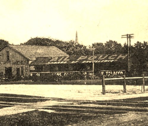
*GONE* (demolished and removed) Along the east side of US-127 (N. Barron St.) just northeast of the RR station, across the RR tracks. Roof Mail Pouch sign. Sign faced southwest. Black Background.
*GONE* (covered over) Along the north side of E. Dayton St. (US-35), in West Alexandria, east of Main St. intersection by 0.2 mile. The two-story frame building is on the left side of the street headed east. The Mail Pouch sign faced west. One side. Black background.
OH-12 (N. High St.) & E. Sycamore St. intersection, in Columbus Grove. The brick building is on the east corner of the intersection. The Mail Pouch sign faces southwest (E. Sycamore St.). One side. Original Black Background. Unique sign.
US-224/OH-89 (3rd St.) between W. Canal St. & Church St., in Ottoville. The brick building is on the right side of the street headed west from W. Canal St. toward Church St. The Mail Pouch sign faces east. One side. Two-story brick building. Original Black Background. Greatly faded.
*GONE* (faded away) OH-12 (S. High St.) just southwest of E. Sycamore St., in Columbus Grove. The brick building is on the left side of the street headed southwest from Sycamore St. The Mail Pouch sign faced southwest. One side. Two-story brick building. Original Black Background. Greatly faded.
OH Rt. 39/OH Rt. 96 (W. Main St.) just east of OH Rt. 61 (S. Gamble St.) by about 150'., in Shelby. The brick building is on the right side of the street headed est. The MP sign faces east. One side. Brick building. Original Black Background.
OH Rt. 113 (N. Main St.), in Mansfield, north of W. 4th St. by about 140'. The Three-story brick building is on the left side of the street headed north. The MP sign faces north. One side. Three-story brick building. Brown. Greatly faded.
