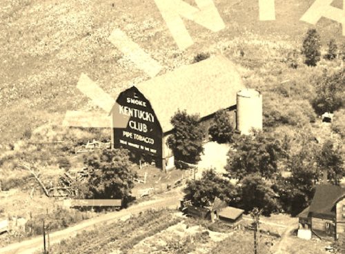
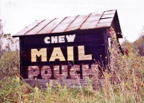
*GONE& (razed nd removed) Along the east side of S. Main St., south of Ohio Ave., in Rittman, by 0.8 mile. The barn was on the left side of the street headed south from Rittman. The Kentucky Club sign faced west. One end. Black background.
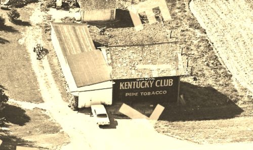
*GONE* (Painted over) Along the west side of Elyria Rd. (OH-301) south of the Congress Rd. (OH-539) intersection, in West Salem, by 2.0 miles. The barn is on the right side of Elyria Rd. headed south from West Salem. The Kentucky Club sign faces east. One side. Black background.
US-30 east of OH-94 by about 0.5 mile. The barn is on the left side of the highway headed east. one end, faces south. One side, faces east. Black Backgrounds.
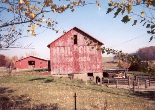
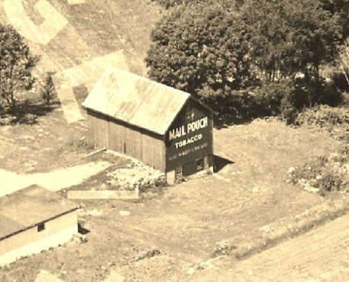
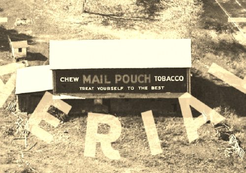
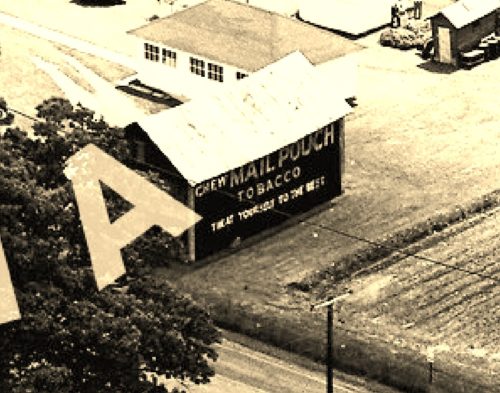
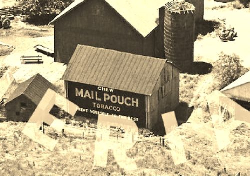
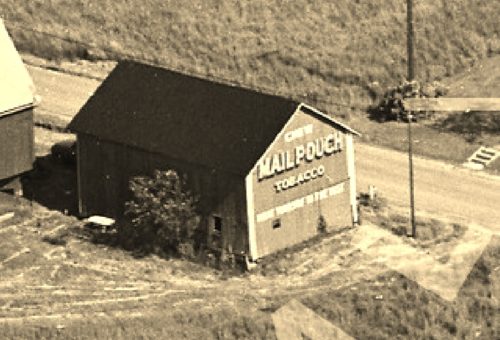
*GONE (fallen and removed)* E. Lincoln Way (Lincoln Hwy.) west of US Rt. 30 exit by about 1.2 miles. Exit US Rt. 30 at N. Carr Rd. and head north to the intersection with E. Lincoln Way (Lincoln Hwy.). Turn left onto E. Lincoln Way and head west for about 0.75 mile. The barn was on the right side of the highway. The Mail Pouch sign faced east. One side. Red background.
*GONE (razed and removed)* US Rt. 250 northwest of OH Rt. 94 , in Mt. Eaton, by about 4.3 miles. The barn is on the right side of the highway headed northwest. The MP sign faced southwest. One end. Red.
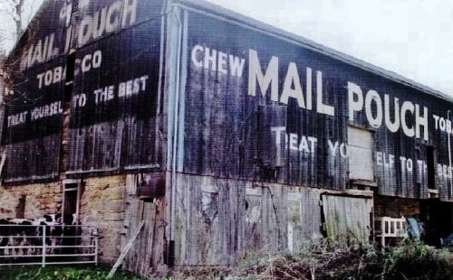
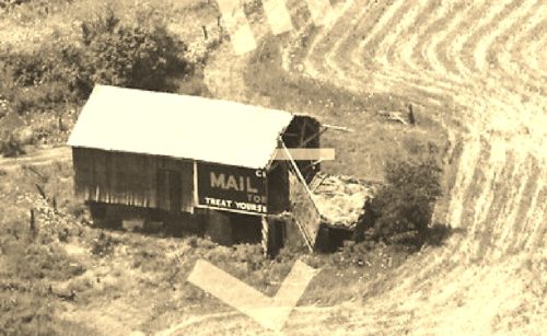
*GONE (fallen summer 2019)* OH Rt. 83 north of the Holmes Co, line by about 1.0 miles. The barn was on the right side of the highway headed north. The MP sign faced west. One end. Black.
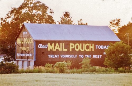
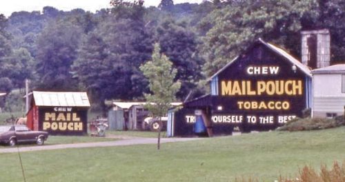
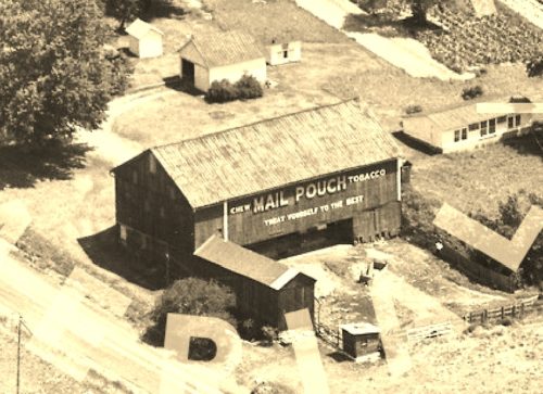
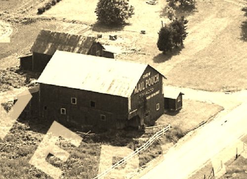
US Rt. 30 (Lincoln Hwy.) east of major intersection with US Rt.250/OH Rt. 3/OH Rt. 83, by about 3.5 miles. The barn is on the right side of the highway headed east. One end. One side. Black.
*GONE (dismantled and removed - 1988) Along the east side of Mount Eaton Rd. (OH-94) north of the OH-585 intersection by 0.6 mile. The barn was on the right side of the road headed north from OH-585. The Mail Pouch sign faced south. One side. Red background.
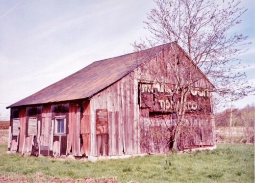
OH Rt. 83 north of the Holmes Co, line by about 1.0 miles. The barn is on the right side of the highway headed north. The MP sign faces west. One side. Black. Very poor condition.
*GONE* (painted over) Along the northwest side of Portage St. northeast of the intersection with Marion St., in Doylestown, by 1.5 miles. The barn is on the left side of the street headed northeast from Doylestown. The Mail Pouch sign faced northeast. One end. Black background.
*GONE* Along the northwest side of Akron Rd. (OH-585) northeast of the intersection with OH-57. The barn was on the left side of Akron Rd headed northeast from OH-57. The Mail Pouch sign faced east. One side. Black background.
*GONE* (faded away/painted over) Along the south side of Blachleyville Rd. (OH-95) southwest of old Columbus Rd. intersection, in Westwood, by 4.2 miles. The barn is on the left side of Blachleyville Rd. headed west from Westwood. The Mail Pouch sign faces north. One end. Red background.
*GONE* (razed and removed) Along the southeast side of S. Columbus Rd. (OH-3) southwest of US-30, in Wooster, by 8.9 miles. The barn was on the left side of the highway headed southwest from US-30. The Mail Pouch sign faced northeast. One side. Black background.
*GONE* (razed and removed) Along the south side of W old Lincoln Way (CR-30A), west of W. Liberty St., in Wooster, by 6.1 miles. The barn was on the left side of the highway headed west from Wooster. The Mail Pouch sign faced west. One side. Black background.
*GONE* (razed and removed) Along the northwest side of Massillon Rd. (OH-241) (at Western Rd. (TR-217) intersection) northeast of Dover Rd. (US-250) intersection, in Mt. Eaton, by 2.5 miles. The barn was on the left side of the road headed northeast out of Mt. Eaton. The Mail Pouch sign faced east. One side. Black background.
Along the south side of Sterling Rd (TR-504) west of the Main St. intersection, in Rittman, by 2.0 miles. The barn is on the left side of the road headed west from Rittman. Two ends. Red backgrounds. The barn has been painted; however, as of 2021 the sign on the east end of the barn was bleeding through.
Looking north in Wooster.
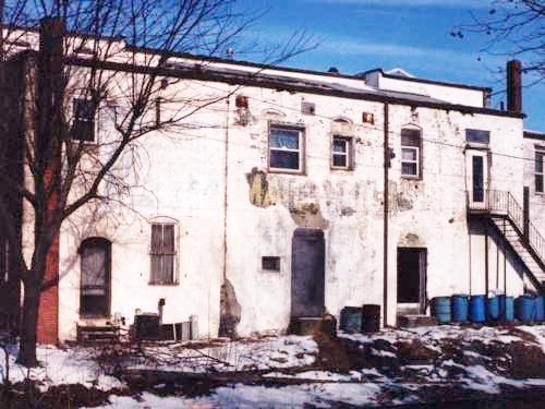
*GONE* (faded away) E. Market St. between OH Rt. 57 (S. Main ST.) and S. Walnut St., in Orrville. The building is on the right side of E. Market St. headed east from S. Main St. The MP sign was on the rear wall of the building and faced the RR tracks. One side. White brick building. Original Mail Pouch sign had a black background.
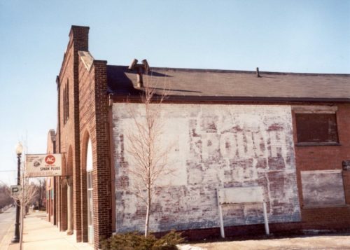
W. Market St. west of OH Rt. 57 (N. Main St.), in Orrville, by about 500'. The building is across from the intersection with Liberty, which is the entrance off of W. Market St. into the parking lot. The one story brick building is on the right side of the street headed west. The MP sign faces east. One side. Brick building. Original background color of the sign was black.. Greatly faded due to the whitewash.
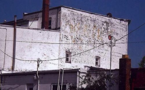
E. Market St. between OH Rt. 57 (S. Main ST.) and S. Walnut St., in Orrville. The building is on the right side of E. Market St. headed east from S. Main St. The MP sign is on the end wall of the building and faces the S. Walnut St. Bridge, as it passes over the RR tracks. One end. Original background color was black. Greatly faded.
