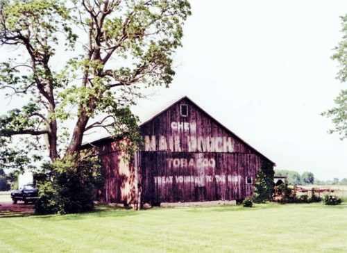
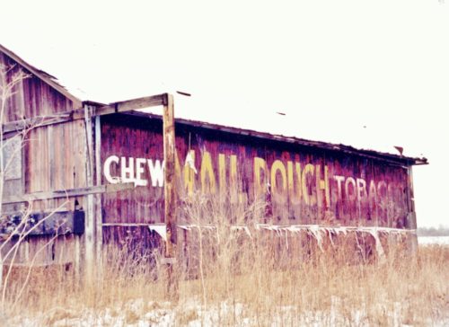
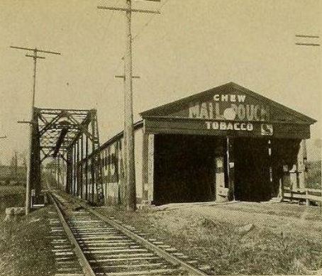
*GONE* (painted over) OH Rt. 72 (Springfield-Jamestown Rd.) south of I-70 by about 1.8 miles. On the left side of the highway headed south. The MP sign face south. One end. Black. Greatly faded.
*GONE* (razed and removed - it was in the process of falling down) Co. Hwy. 333 (Dayton-Springfield Rd.) east of I-675 by about 0.25 mile. Almost directly across from where Black Lane intersects into Co. Hwy. 333 from the south. The barn is on the left side of the highway headed east from I-675. The MP sign faces east. One side. Black background.
*GONE* (razed and removed) On US Rt. 40 (Old National Highway) west of Springfield crossing the Mad River. Mail Pouch sign on the Northeast end of the bridge, the southwest end of the bridge and the southeast side of the bridge. Two ends and one side. Black backgrounds.


