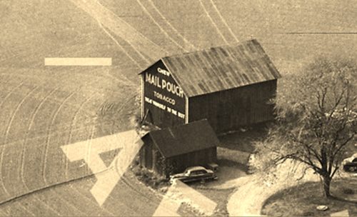
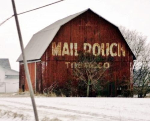
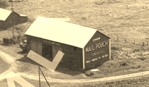
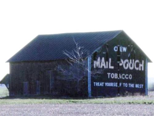
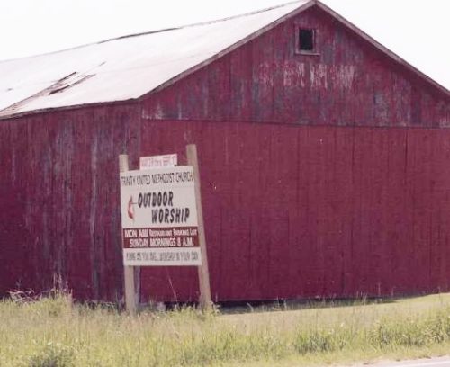
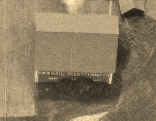
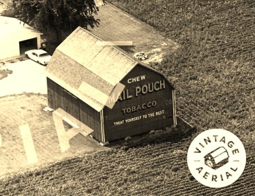
*GONE* (razed and removed) Along the southwest side of OH-2 northwest of the intersection with OH-163 (northwest of Port Clinton), by 10.5 miles. The barn was on the left side of the highway headed northwest from Port Clinton. The Mail Pouch sign faced southeast. One end. Black Background.
*GONE* (storm damaged and removed) OH-2 (West Lakeshore Dr.) north of OH-579 by 0.5 mile. The barn was on the left side of the highway headed north. The Mail Pouch sign faced north. One end. Original black background.
*GONE* (razed and removed) Along the southeast side of W. Fremont Rd. (OH-53) southwest of OH-2 (117 exit) by 1.5 miles. The barn was on the left side of OH-53 headed southwest from OH-2. The Mail Pouch sign faced southwest. One end. Original Red Background through 1971. Repainted sometime after 1971 and changed to Black Background.
*GONE* (razed and removed) Along the south side of W State Route 163 west of Benton St. intersection, in Oak Harbor, by 1.2 miles. The barn was on the left side of the highway headed west from Oak Harbor. The Mail Pouch sign faced north. One end. Black Background.
*GONE* (razed and removed) Along the south side of E. Harbor Rd. (OH-163) west of the intersection with OH-53 by 0.7 mile. The barn was on the left side of the highway headed toward Port Clinton. The Mail Pouch sign faced north. One end. Black Background.
*GONE* (razed and removed) Along the southwest side of OH-51 northwest of the intersection with OH-163 by 4.7 miles. The barn was on the left side of the highway headed northwest. The Mail Pouch sign faced northwest. One side. Red Background.
*GONE* (razed and removed) Along the west side of N Lickert-Harder Rd (CR-22) south of the intersection with OH-2 by 0.1 mile. The Mail Pouch sign faced north and was clearly visible from OH-2. One end. Red Background.
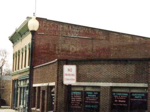
*GONE* (faded away) Along the west side of N. Genoa Clay Center Rd. (Main St. ext.) north of OH-163 (4th St.), in Genoa, by 0.2 mile. The brick building is on the left side of the street headed north. The Mail Pouch sign faced north. One side of brick building. Original Black Background.
