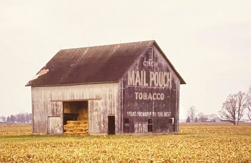
*GONE (painted over)* OH-113 W west of US- 250/OH-13 by about 0.75 mile. On the right side of the highway headed west. Two ends. Black backgrounds.
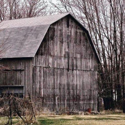
*GONE (faded away)* US Rt. 6 (Venice Rd.) west of intersection with OH Rt. 101, in Sandusky, by a little over 1.0 mile. The barn is on the left side of the highway headed west. The MP sign faces west. The barn is almost directly across the highway from the entrance to the Toft Dairy. The barn sits back off the road in a grove of trees. One end. Black Background.
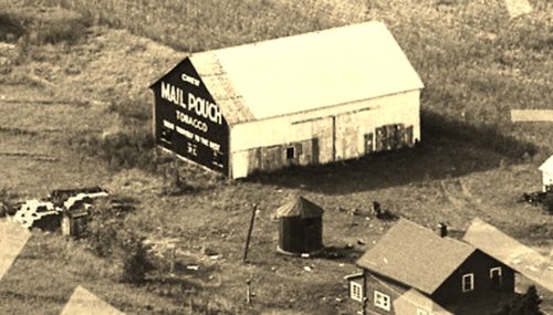
*GONE* (razed and the entire site cleared) Along the west side of Columbus-Sandusky Rd. (OH-4), south of intersection 110 of the Ohio Turnpike (I-90), by 0.8 mile. The barn was on the right side of the road headed southwest. The Mail Pouch sign faced southwest. One end. Black Background.
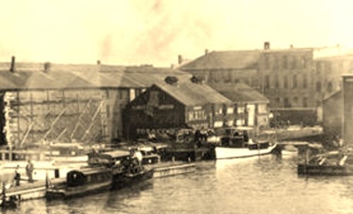
*GONE* (destroyed by a tornado June 28,1924) The Original Sandusky Yacht Club was located along the northwest side of E. Shoreline Dr, northeast of the intersection with Columbus Ave. by 270'. The building with the Mail Pouch signs was on the left side of the drive headed northeast. Two Mail Pouch signs: One on the north west end; and, one on the southwest side. Black Backgrounds.


