- [01] Adams Co, PA (2)
- [02] Allegheny Co, PA (32)
- [03] Armstrong Co, PA (13)
- [04] Beaver Co, PA (12)
- [05] Bedford Co, PA (18)
- [06] Berks Co, PA (10)
- [07] Blair Co, PA (4)
- [08] Bradford Co, PA (1)
- [10] Butler Co, PA (19)
- [11] Cambria Co, PA (16)
- [13] Carbon Co, PA (1)
- [14] Centre Co, PA (12)
- [16] Clarion Co, PA (13)
- [17] Clearfield Co, PA (11)
- [18] Clinton Co, PA (6)
- [20] Crawford Co, PA (15)
- [21] Cumberland Co, PA (5)
- [22] Dauphin Co, PA (8)
- [24] Elk Co, PA (2)
- [25] Erie Co, PA (11)
- [26] Fayette Co, PA (29)
- [27] Forest Co, PA (3)
- [28] Franklin Co, PA (4)
- [29] Fulton Co, PA (10)
- [30] Greene Co, PA (29)
- [31] Huntingdon Co, PA (10)
- [32] Indiana Co, PA (14)
- [33] Jefferson Co, PA (11)
- [34] Juniata Co, PA (5)
- [36] Lancaster Co, PA (6)
- [37] Lawrence Co, PA (12)
- [39] Lehigh Co, PA (7)
- [40] Luzerne Co, PA (1)
- [41] Lycoming Co, PA (1)
- [42] McKean Co, PA (8)
- [43] Mercer Co, PA (17)
- [44] Mifflin Co, PA (7)
- [45] Monroe Co, PA (5)
- [46] Montgomery Co, PA (1)
- [47] Montour Co, PA (0)
- [48] Northampton Co, PA (5)
- [49] Northumberland Co, PA (1)
- [50] Perry Co, PA (5)
- [51] Philadelphia Co, PA (1)
- [54] Schuylkill Co, PA (2)
- [56] Somerset Co, PA (22)
- [59] Tioga Co, PA (1)
- [61] Venango Co, PA (7)
- [62] Warren Co, PA (2)
- [63] Washington Co, PA (29)
- [64] Wayne Co, PA (2)
- [65] Westmoreland Co, PA (24)
- [67] York Co, PA (8)
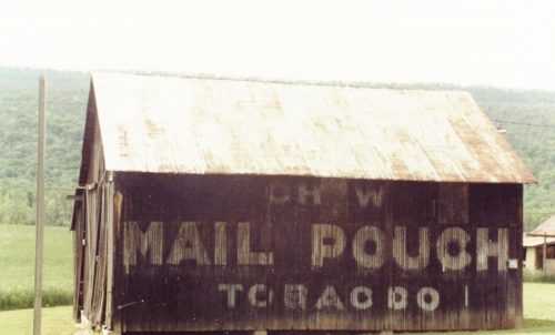
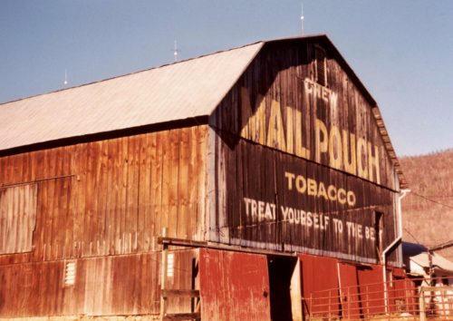
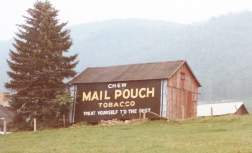
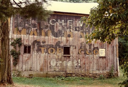
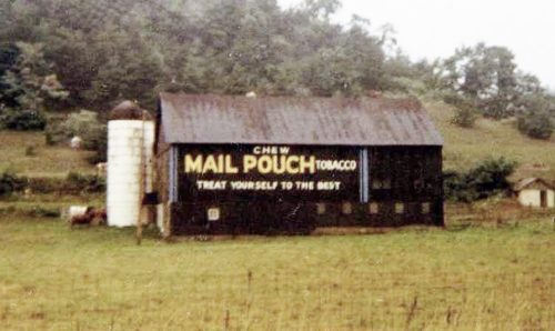
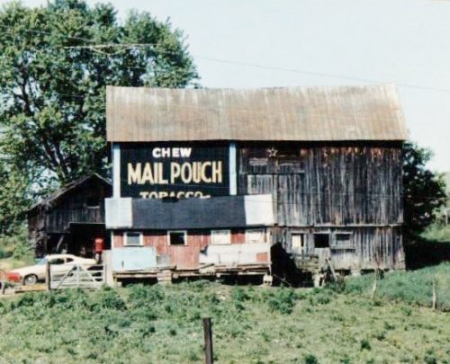
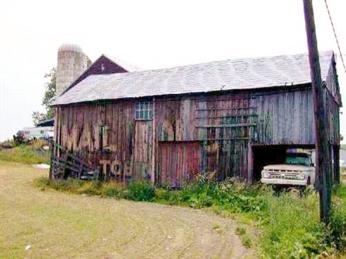
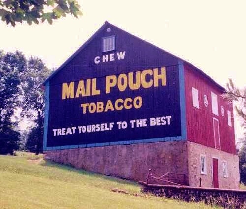
US-220 (Bedford Valley Rd.) south of US-30, in Bedford) by about 11.7 miles. The barn is on the right side of the highway headed south. The Mail Pouch sign faces east. One side. One end (see Photo 3 and note above). Black background.
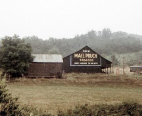
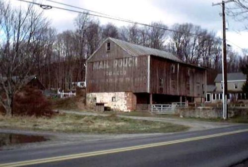
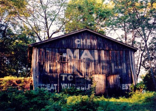
US-220 south of US-30, in Bedford, by about 5.7 miles (just south of US-220/US-220 BUS. 'Y' by about 0.3 mile). The barn is on the left side of the highway headed southwest. The Mail Pouch sign on the northeast end of the barn is partial and greatly faded. The Mail Pouch sign on the southwest end of the barn is *GONE (painted over). Black backgrounds.
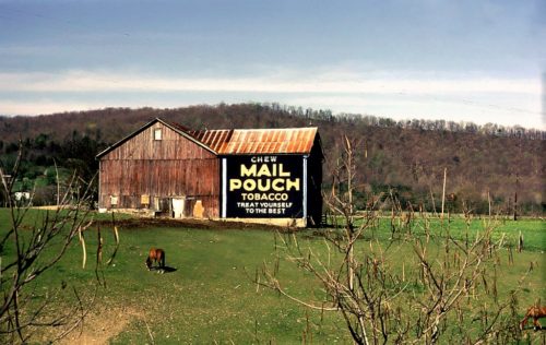
PA-31 (Allegheny Rd.) southwest of US-30 by about 2.1 miles. The barn is on the left side of the highway headed southwest. The Mail Pouch sign faces northwest. One side. Black background.
*GONE (fallen and removed)* US Rt. 30 (Lincoln Hwy.) southwest of PA Rt. 96 (Market St.), in Schellsburg by about 1.6 miles. The barn was on the left side of the highway headed southwest and was difficult to see when it was standing. The barn was across the highway from the Lincoln Highway Farm. The MP sign faced northwest. Beech Nut Ginger Ale (not tobacco) sign also occupied this barn. One side.
On Cider Road. Can be seen from the PA turnpike (I76) at mile marker 132, which is 13 miles west of the Bedford exit. The barn is on the north side of the turnpike. The MP sign faces south. One side. Black.
On Mansion Farm Road. Can be seen from PA Turnpike (I-76) at mile marker 138, 7 miles west of Bedford. One end - black background.
*GONE (fallen)* PA Rt. 56 northwest of I-99 by 3 miles (just south of Fishertown at intersection with CR 541 - Crissman Road). One side.
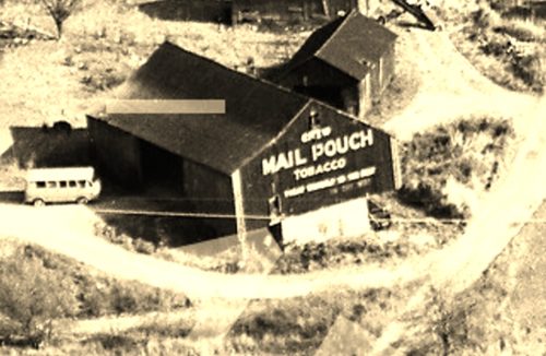
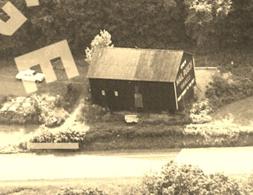
*GONE (torn down in 1992)* On the north side of US Rt. 30, just east of the US Rt. 30 (Bus.)/US Rt. 30 (By-pass) intersection by 0.3 mile. It also faced on Twp. Rt. 472 (Blackstone Rd.). One MP side. One MP end. One Dr. Pierce end. Black. On the same site as MPB 38-05-12.
*GONE* This barn was located on the north side of US Rt. 30 just east of the US Rt. 30 (Bus.)/US Rt. 30 (by-pass), by about 0.3 mile. The Mail Pouch sign faced south. It was across Twp. Rt. 472 from MPB 38-05-11. One side. Black background.
*GONE* Along the southeast side of Lincoln Hwy. (US-30) about 0.2 miles east of the intersection with PA-326. The barn was on the right side of the highway headed northeast from PA-326. The Mail Pouch sign faced northeast. One side. Black background.
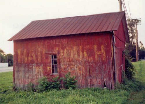
Original Mail Pouch sign *GONE* (painted over) new Mail Pouch sign is Owner painted. Along US-220, south of US-30 by 6.4 miles, on the west side of the road. Original sign had started to bleed through before it was repainted red and a new Mail Pouch sign painted by the Owner. Original background color was black. One side.
*GONE (razed and removed)* US Rt. 30 (Lincoln Hwy) west of PA Rt. 96 (Market St.) intersection, in Schellsburg, by 2.7 miles. The barn was on the north side of the highway. The Mail Pouch sign faced southeast. One end. Black background.
*GONE (painted over)* Wm Penn (Sr 4009) north of PA Rt. 869 (Heritage Rd.) intersection, just east of Osterburg by about 1.5 miles. The barn is on the east side of the road. The Mail Pouch sign faced southwest. One end. Black background.
*GONE (covered over)* PA Rt. 26 (Raystown Rd.) north of the Six Mile Run Rd. intersection,just west of Riddlesburg, by about 1.2 miles. The barn is on the west side of the road. The Mail Pouch sign faced north. One end. Black background.
*GONE* (razed and reemoved) Along the south side of Lincoln Hwy. (US-30) east of the intersection with N. Main St., in Breezewood, by 0.3 mile. The barn was on the right side of Lincoln Hwy. (US-30) headed east from N. Main St. The Mail Pouch sign faced northwest. One end. Black background.
*GONE* (faded away) US Rt. 222, near Kutztown, PA, about 500 ft. west of intersection with Hottenstein Road, on right side headed northeast. Sign faces northeast. One side. Red background.
Farmington Ave. south of Boyertown. To access the site, take Reading Ave. (becomes S. Reading Ave.), south from Philadelphia Ave., in Boyertown, about 1.1 miles to Farmington Ave. Make left onto Farmington Ave. and go about 0.8 mile. The barn is on the left side of Farmington Ave. headed south. Two ends. Black backgrounds.
*GONE* (razed and removed) Along the northwest side of old PA Rt. 100 (N. Reading Avenue) north of the Weisstown Rd intersection, in New Berlinsville, by 0.4 mile. The barn was on the left side of N. Reading Ave. headed northeast from New Berlinsville. The Mail Pouch sign faced southwest. One end. Red Background.
*GONE* Barn located on Indian Manor Drive, north of Leesport. It was approximately 500 feet north of where Belleman's Church Road intersects with PA Rt. 61. On left side of the road while headed north. One side.
Mail Pouch sign is probably faded away. Along US Rt. 422 (Benjamin Franklin Highway), approximately 400 feet southeast of US Rt. 422 intersection with Riga Lane. On right side, headed SE back into woods. Very difficult to see. One end.
