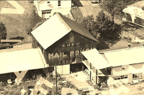
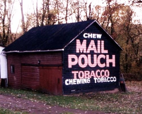
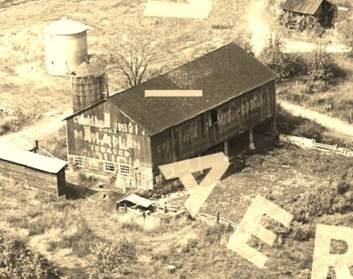
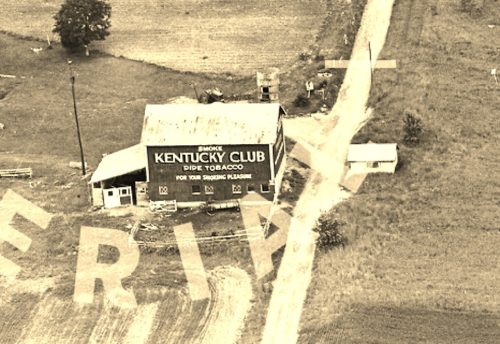
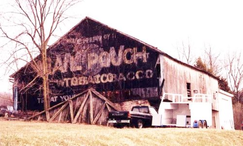
*GONE* (faded away) At the southwest corner of the S. 4th St./Gravel Hill Rd. intersection, in southeast Newport. The Mail Pouch sign faced northeast One end. Black background.
Along the west side of Spring Rd. (PA-34/PA-850) southwest of intersection with PA-274, in Mecks Corner, by 5.2 miles, (just across from intersection with Old Mill Road). The barn is on the right side of Spring Rd, headed southeast. The Mail Pouch sign faces northwest. One end. Black background.
*GONE (razed and removed)* Juniata Pkwy E., east of the intersection with PA-34 by 1.3 miles. The barn was on the left side of the highway headed north. The Mail Pouch end faced south. The Mail Pouch side faced east. Black backgrounds.
*GONE* (faded away) Along the northwest side of PA-34 (Spring Road) southwest of the intersection with PA-274, in Mecks Corner, by 1.6 miles. The barn is on the right side of PA-34 headed southwest. The northeast end of the barn fronts on Spangle Lane. Mail Pouch signs on the northeast and southwest ends and Kentucky Club sign on the southeast side. Red backgrounds.
*GONE* (razed and removed) Along the northeast side of W. Juniata Pkwy. (TH-1015) southeast of the PA-17 (Sunbury St.) intersection, in Millerstown, by 1.6 miles. The barn was on the left side of the highway headed southeast. Sign faced northwest. One end. Black background.
