MPB 38-05-18

Photo 1
Sides Painted
1
Color
Black
Structure
Barn
Unique Characteristics
None
Still Standing
No
Credits

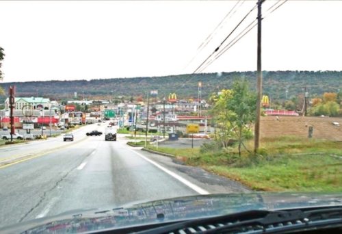
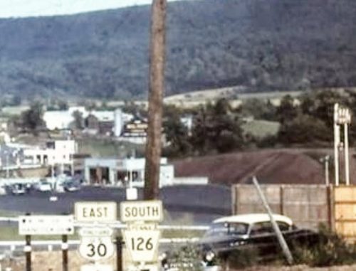
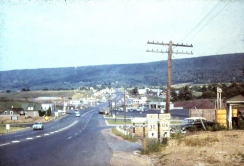
Photos 1 & 2 by unknown (ca. 1950's).

Photo 3 by unknown (ca. 1970's).

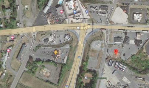
photo 4 Google satellite image.
Other Information

Photo 1 is an enlarged inset view from Photo 2. The Mail Pouch barn is toward the center of Photo 1.

Historic Aerials' imagery (1966) was consulted. That is the oldest imagery available. There is an apparent building (with, perhaps, the shadow image of a silo) in the approximate area of the barn as noted in Photo 2. The distance measurement tool was used to obtain the decimal coordinates of the 'shadow' building. The coordinates were input to the Google map program and the red pin location falls on what appears to be an old foundation which is tilted in a direction which would have faced the Mail Pouch sign in a northwest direction. Looking at Photos 1 & 2 it appears that the sign is facing northwest in relation to Lincoln Hwy. (US-30). Based on the available information it is believed that the red pin, on Photo 4, is a very positive location for the Mai Pouch barn.
Where to find it

*GONE* (razed and reemoved) Along the south side of Lincoln Hwy. (US-30) east of the intersection with N. Main St., in Breezewood, by 0.3 mile. The barn was on the right side of Lincoln Hwy. (US-30) headed east from N. Main St. The Mail Pouch sign faced northwest. One end. Black background.
Address
16268 Lincoln Hwy (US-30)
City
Breezewood
State
PA
Zipcode
15533
Country
USA
Latitude
N 39° 59.9262'
Longitude
W -78° 14.2725'
lat
39.998770
lng
-78.237875
  • Photo 2
  • Photo 3
  • Photo 4