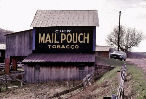
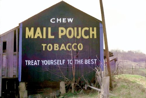
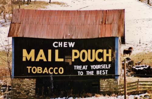
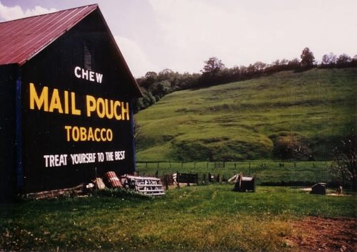
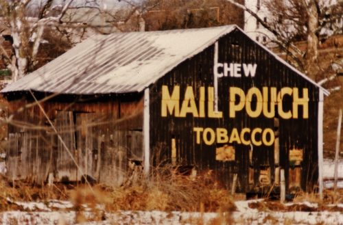
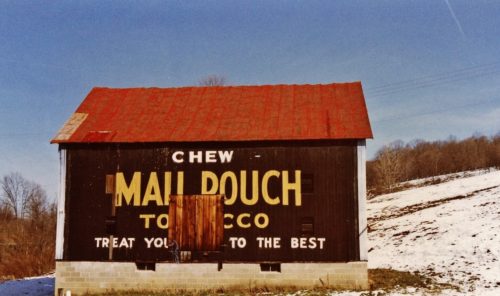
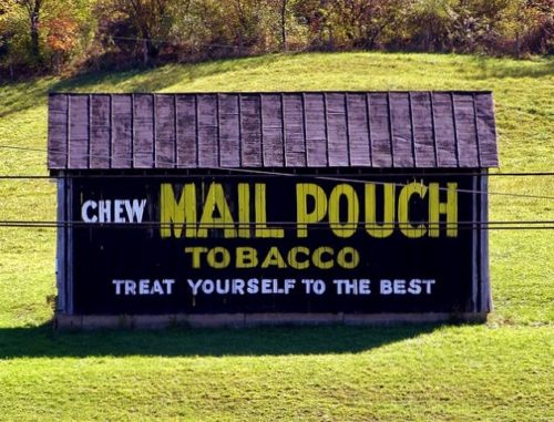
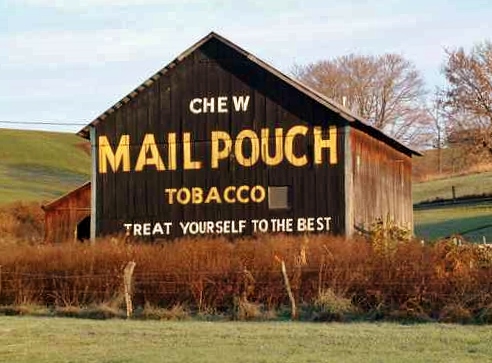
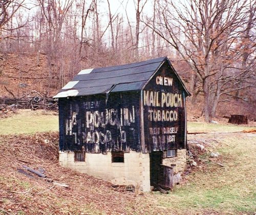
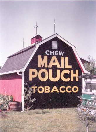
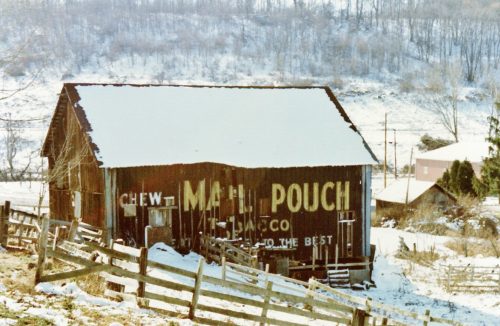
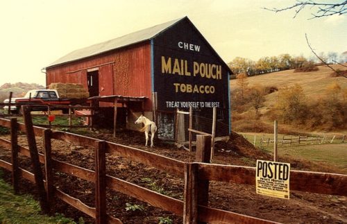
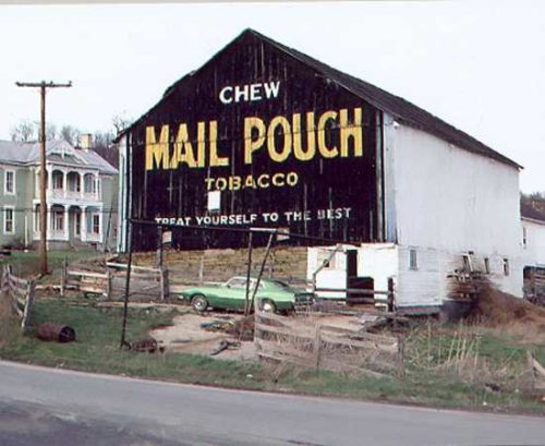
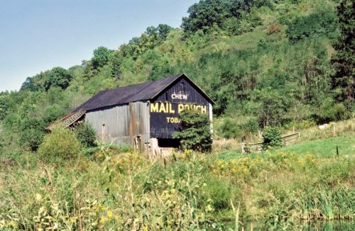
Along the south side of E. Roy Furman Hwy. (PA-21) southeast of I-79 by about 7.3 miles. Southeast of Crees Rd. intersection, in Khedive. The barn is on the right side of the road headed southeast. The Mail Pouch Sign faces southeast. One side. Black background.
*GONE (fallen down & site cleared)* PA Rt. 21 (E. Roy Furman Hwy.) southeast of I-79 by about 3.4 miles. The barn was on the right side of the highway headed est. The MP sign faced east. One end. Black.
Along the east side of Mt. Morris Rd. (US-19) south of PA-21 (E. Roy Furman Hwy.) intersection, in Morrisville, by about 0.8 mile. The barn is on the left side of the highway headed south. One end, Mail Pouch sign faces north; and one side Mail Pouch sign faces west. Black backgrounds.
US-19 (Mt. Morris Rd.) southeast of PA-21 (E. Roy Furman Hwy.) intersection, in Morrisville, by about 6.0 miles. The barn is on the right side of the highway headed southeast. Two ends. Black backgrounds.
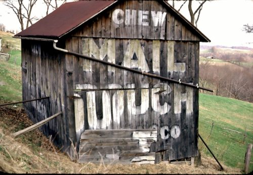
US-19 (Mt. Morris Rd.) south of PA-21 (E. Roy Furman Hwy.) intersection, in Morrisville by about 8.6 miles. The barn is on the left side of the highway headed southeast. Two ends. Black backgrounds. The Mail Pouch signs are greatly faded.
US-19 (Mt. Morris Rd.) south of PA-21 (E. Roy Furman Hwy.) intersection, in Morrisville, by about 12.2 miles. The barn is on the left side of the highway headed southeast. The Mail Pouch sign faces southwest. One side. Black background.
PA-18 (Golden Oaks Rd.) southwest of PA-21 (Roy Furman Hwy.) by about 1.3 miles. The barn is on the left side of the highway headed southwest. The Mail Pouch sign faces northwest. One side. Black background.
PA-21 (W. Roy Furman Hwy.) west of Church St. intersection, in Rogersville, by about 0.9 mile. Just northwest of the PA-21/PA-18 (Golden Oaks Rd.) split by about 0.2 mile. The barn is on the right side of the highway headed northwest. The Mail Pouch sign faces south. One end. Black background.
*GONE (fallen)* PA Rt. 88 (S. Eighty Eight Rd.) south of PA Rt. 21 (E. Roy Furman Hwy.) by 1.9 miles. The barn was on the right side of the highway headed south. One end MP sign faced southeast; and, one side MP sign faced southwest. Black. Greatly faded.
Betty Blvd.,in Carmichaels. Mail Pouch sign faces southeast. One end. Black.
*GONE (fallen)* PA Rt. 21 (Roy Furman Hwy.) northwest of PA Rt. 21/PA Rt. 18 (Golden Oaks Rd.) split by about 10.4 was is on the left side of the highway headed west. Two ends and one side. Black.
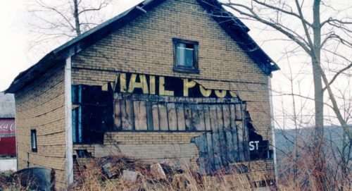
US-19 (Washington Rd.) north of PA-21 (E. High St.), in Waynesburg by about 2.3 miles. The barn is on the left side of the highway headed north. The Mail Pouch sign faces north. Building is in poor condition. Sign mostly covered by siding. Can see through large holes in siding. One end. Black background.
*GONE* US Rt. 19 (Mt Morris Rd.) south of PA Rt. 21 (E. Roy Furman Hwy.) intersection, in Morrisville, by 8.4 miles. Just north of cr 2018 and 0.2 mile north of MPB 38-30-05. The barn was on the west side of the highway. The MP sign faced north. One side. Black.
US-19 (Washington Rd.) north of PA-21 (W. High St.), in Waynesburg by about 4.7 miles. The barn is on the left side of the highway headed northeast. Two ends. Mail Pouch sign on the southwest end is greatly faded. Black backgrounds.
*GONE (razed and removed)* PA Rt. 21 (W. Roy Furman Hwy.), at Martin Rd. (SR 4009), west end of Graysville. The MP sign faced west. One end. Black.
*GONE * (razed and removed) PA Rt. 21 (W. Roy Furman Hwy) north of the PA Rt. 21/PA Rt. 18 (Golden Oak Rd.) split by 4.3 miles. The barn was on the right side of the highway headed north. Two ends. Black.
*GONE (razed and removed). PA Rt. 18 (Golden Oaks Rd.) south of Main St., in New Freeport, by about 0.6 mile. the barn was on the right side of the road headed south. Black background.
*GONE* Along PA Rt. 21 near Waynesburg. One end. Black.
*GONE* PA Rt. 18 (Golden Oak Rd.) north of New Freeport by about 2.3 miles. The barn was on the right side of the highway headed north. The Mail Pouch sign faced south. One side. Black background.
*GONE (razed and removed)* PA Rt. 21 (Roy E. Furman Hwy.), northwest of the PA Rt. 21/PA Rt. 18 split (west of Rogersville) by about 1.2 miles. The barn was on the right side of the highway headed northwest, just past the W. Run Rd (CO 4027) intersection. One side. Black background. The MP sign faced southeast.
