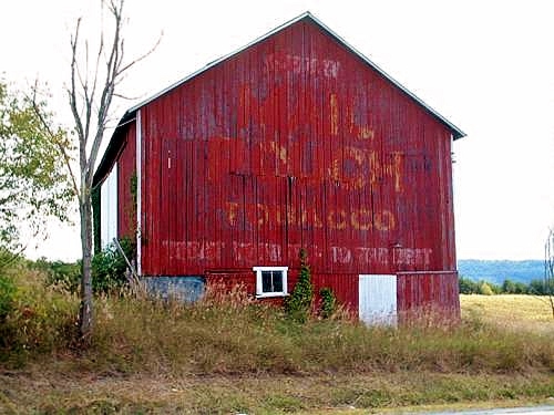
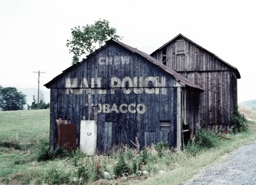
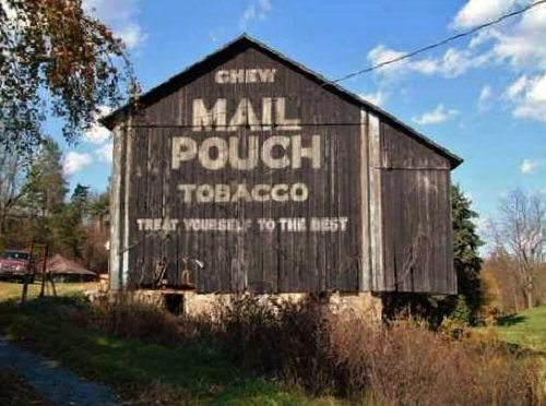
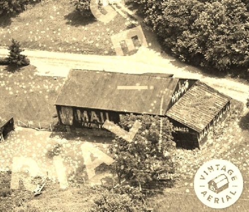
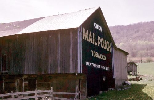
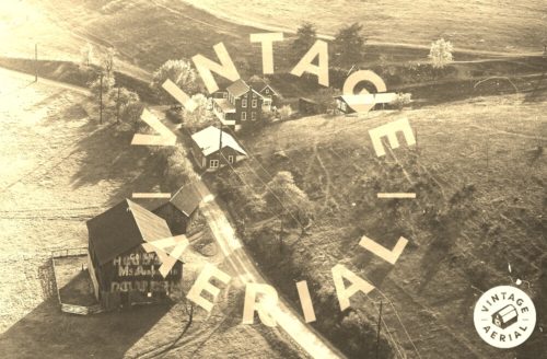
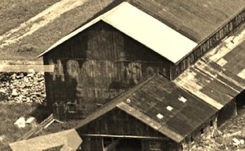
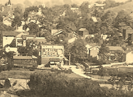
*GONE* (fallen) Along the east side of US Rt. 522 (Croghan Pike/Great Cove Rd.) north of US Rt. 30 (Lincoln Hwy.) by about 15.0 miles. South of PA Rt. 641 intersection, in Shade Gap, by about 5.9 miles. The barn was on the east side of the highway. The Mail Pouch sign faced west. One end.
US Rt. 522 (Croghan Pike) north of PA Rt. 994 (Elliot St.) intersection, in Orbisonia, by about 3.5 miles. The barn is on the left side of the highway headed north. The MP sign faces south. One end. Black. Greatly faded.
Along the northeast side of Birmingham Pike (PA-453/State Hwy 45 truck Rt.) northwest of US-22 (William Penn Hwy.) by about 2.9 miles. The barn is on the right side of the highway headed northwest. the Mail Pouch sign faces southeast. One end. Black.
*GONE (razed and removed)* Barree Rd. (Rt. 4004) northwest of the intersection with PA Rt. 305, by 0.8 mile. The barn was on the left side of the road headed northwest. The Mail Pouch sing on the end of the barn faces southeast. The Mail Pouch sign on the side of the barn faces southwest. Black background.
*GONE (destroyed by a storm in 1993)* US Rt. 522 (Croghan Rd.) northwest of PA Rt. 641 intersection, in Shade Gap, by about 2.4 miles. The barn was on the left side of the highway headed north. The MP sign faced north. One end. Black.
The two barns are located along River Rd. north of Smith Valley Rd., in Birdville, by 0.3 mile. The buildings are on the right side of the road headed north.
*GONE* (razed and removed) Along the southwest side of Black Oak Rd. southeast of the Barree Rd (T4004) intersection, in Barree, by 0.4 mile. The barn was on the right side of Black Oak Rd. headed southeast out of Barree. The Mail Pouch sign on the end faced southwest. Black background.
*GONE* (razed and removed) Along the east bank of Shaver Creek, north of the Juniata River by 0.2 mile. The Mail Pouch sign was on the roof and faced south. Black background.
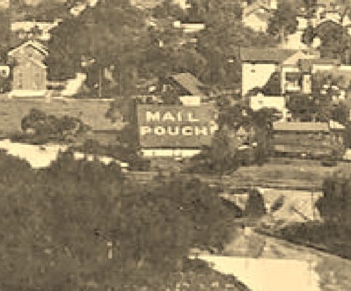
*GONE* (razed and removed) Along the west side of King St. across from the Hill St. intersection, in Petersburg. The Mail Pouch sign faced south. One side. Black background.
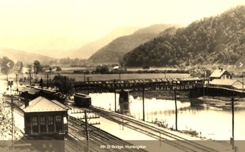
*GONE* (destroyed by fire and removed) S 4th St. spanning the Juniata River, in the location of the existing bridge. There were various Mail Pouch signs on both sides of the bridge. Generally black backgrounds.
