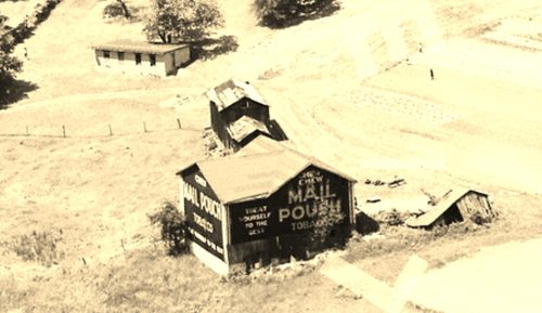
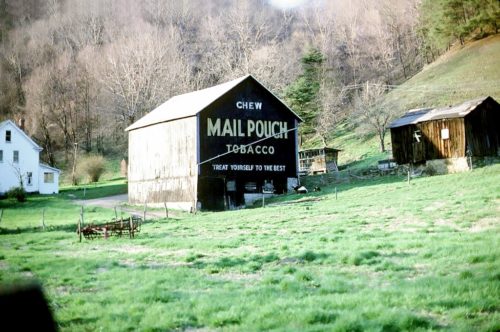
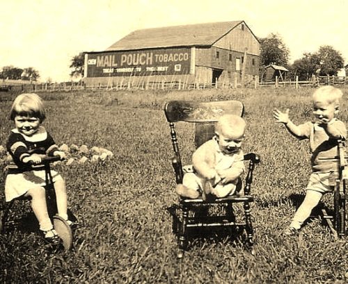
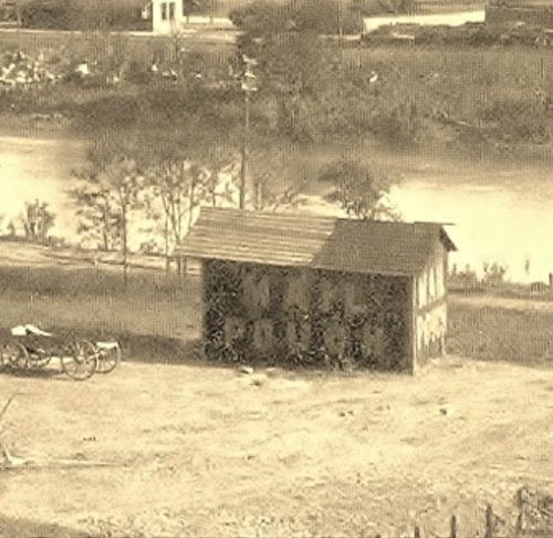
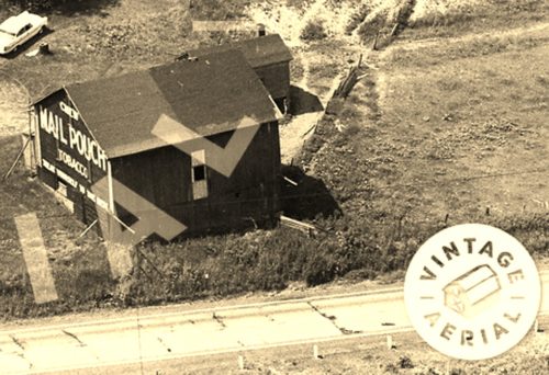
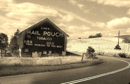
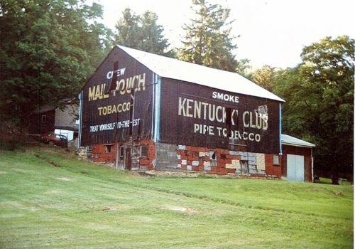
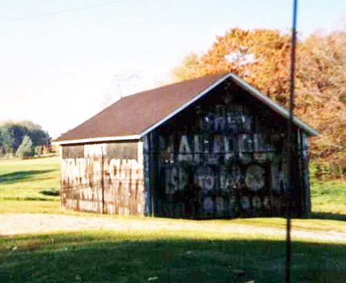
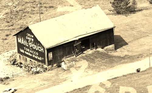
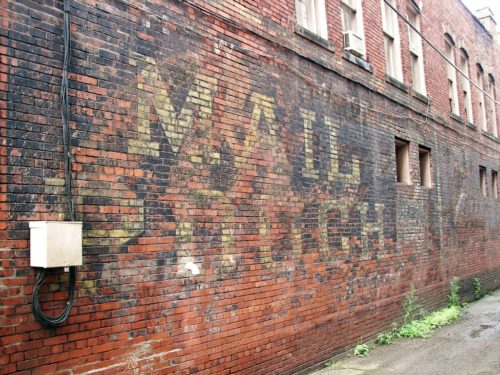
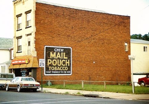
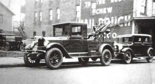
*GONE (fallen down)* Along the northwest side of PA-28/PA-66 (Alexander H. Lindsay Memorial Hwy.), north of US-422 by about 3.4 miles. The barn was on the left side of the highway headed northeast. One end - faced southeast. One side - faced northeast. Black backgrounds.
*GONE* (fallen) Along the northeast side of PA-66 (River Rd.) northwest of PA-56 (Dime Rd./1st St.), in Vandergrift, by about 3.7 miles. Just past PA-2057 (Airport Rd.). The barn is on the right side of the highway headed north. The Mail Pouch sign faced southeast One end. Black background.
*GONE* (still standing but boards reversed so sign is no longer visible) Along the northeast side of PA-66 north of 3rd St., in Leechburg, by about 8.8 miles. About 0.2 mile north of the intersection of PA-66 with Crooked Creek Dam Road. The barn is on the right side of the highway headed northwest. The sign faced northwest. Black background.
*GONE* In the vicinity of the Jefferson St. & Main St. intersection, in North Vandergrift. Appears to be a barn building. At least two and possibly 3 or 4 Mail Pouch signs on this building . Black Backgrounds.
*GONE* (razed and removed)* Along the southwest side of Benjamin Franklin Hwy. (US-422) northwest of the Salt Work St. intersection, in Elderton, by about 2.6 miles. The barn was on the left side of the highway headed northwest from Elderton. The Mail Pouch sign faced southeast. One end. Black background.
*GONE* (painted over) Along the south side of Freeport Rd. (TH-3017) northeast of the PA-28 (Allegheny Valley Expressway) interchange by about 3.3 miles. The barn is on the right side of the road headed east. There was a Mail Pouch sign on each end of the barn. Two ends. Black backgrounds.
Along the southeast side of Laurel Rd. The barn used to be visible from along the nothwest side of Dime Rd. (PA-66A); however, it is now shielded by a tree line. The barn is northeast of the Lincoln Ave. (PA-66) intersection, in Vandergrift, by about 2.8 miles. The barn is on the left side of Dime Rd. (PA-66A) headed northeast. The Mail Pouch sign end faces southwest. The Kentucky Club sign side faces southeast. One end. One side. Black backgounds.
*GONE* (remodeled) Along the northwest side of PA-66, north of 3rd St., in Leechburg, by about 2.7 miles. The NE end, SW end and SE side have all had Mail Pouch signs. It appears from the photos that only the SE side has had a Kentucky Club tobacco sign. Black backgrounds.
*GONE* (razed and removed) Along the southwest side of County Line Rd., north of US-422 (Benjamin Franklin Hwy.) by about 0.3 miles. The barn was on the left side of the road headed northwest from US-422. The MP/WOW sign faced southeast. One end. Black background.
Northeast corner of 4th Avenue and 9th Street intersection, in Ford City. The Mail Pouch sign faces Southwest. One side. Two-story brick building. Brown background.
Northeast corner of 4th Ave. & 9th St. intersection, in Ford City. The MP sign faces northeast. One side. Two-story brick building. Brown. Greatly faded.
*GONE(painted over)* Northeast corner of 5th Ave. & 10th St. intersection, in Ford City. The Mp sign faced southwest. One side. Three-story brick building. Black.
*GONE (sandblasted off)* Northeast corner of PA Rt. 128 (5th St.) and 10th St. intersection, in Ford City. The Mail Pouch sign faced northeast. Black Background.
