Other Information
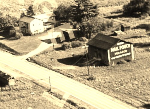
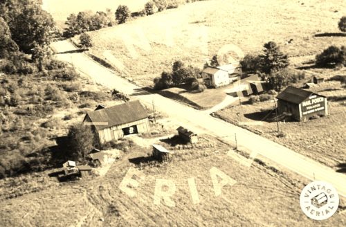
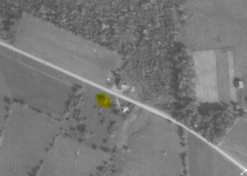
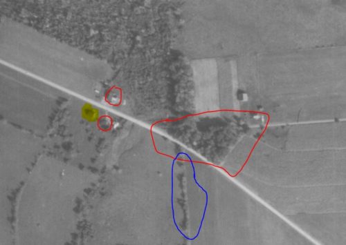
Photo 1 is an enlarged inset view from Photo 2.
Used the
Penn Pilot program to determine the location of where the barn once stood.
Photos 6 & 7 clearly show the Mail Pouch barn (hi-lited in yellow), the house, the small open front building between the house and the MP Barn; and, the barn across the highway.
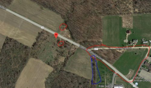
Photo 7 items such as the small open front building, the barn across the highway and the road intersection are circled in red. In Photo 8 (Google satellite image) the open front building, the rubble remaining from the barn across the highway and the intersection (now slightly changed) are circled in red. In addition on photos 7 & 8 the tree line is circled in blue.
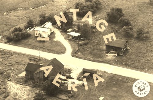
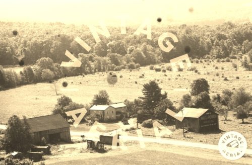
Photo 5 (Google street view Oct. 2018) clearly shows that the small open front building and the power pole, both shown in Photos 2-4 are still standing as of that date.
In Photo 8 (Google satellite image) the approximate location of where the barn once stood is noted by the red pin. This pin was used to determine the address and the coordinates.
Where to find it *GONE* (razed and removed) Along the southwest side of Greenville Sandy Lake Rd. (PA-358) southeast of I-79 exit 130 by 0.5 mile. The barn was on the right side of the highway headed southeast from I-79. The Mail Pouch sign faced northwest. The photo shows one end painted; however, the way the barn presents to the highway it is possible that both ends were painted. Black background.
