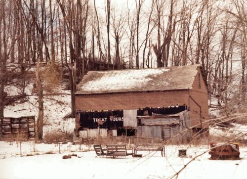
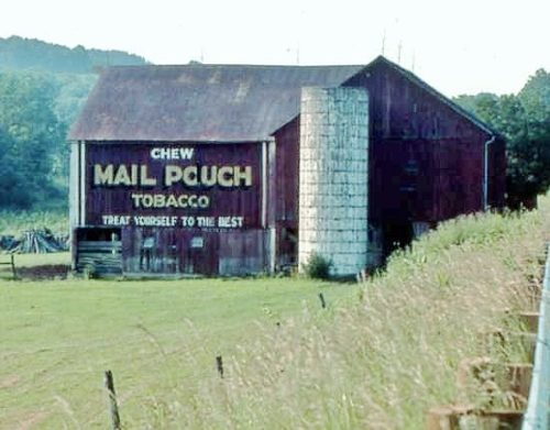
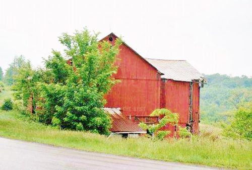
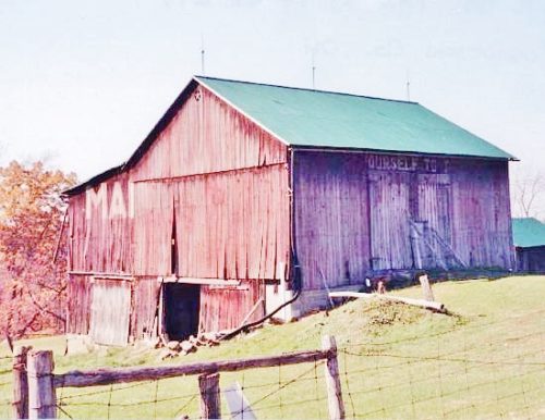
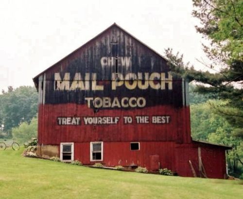
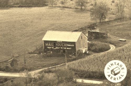
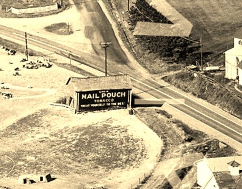
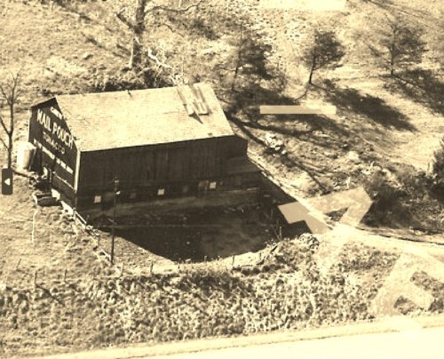
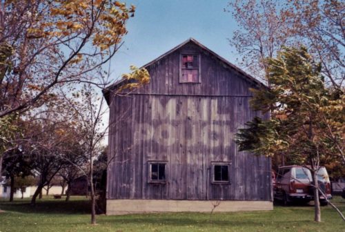
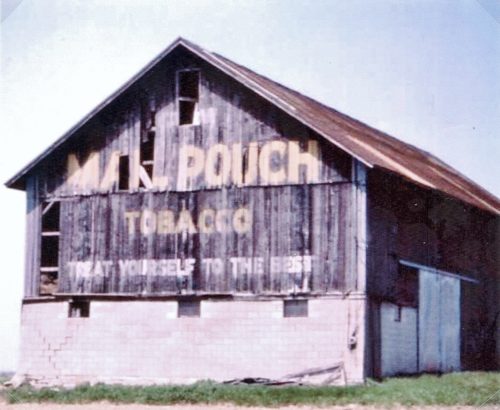
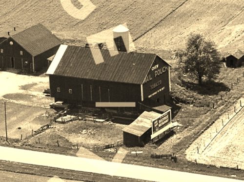
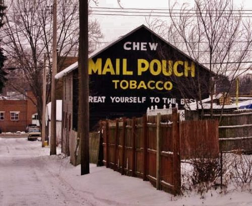
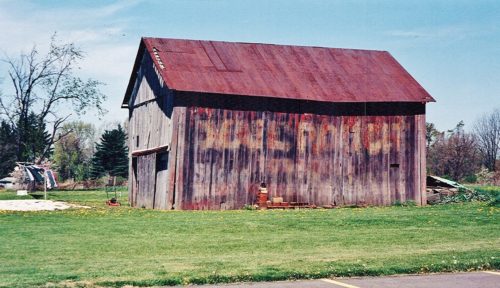
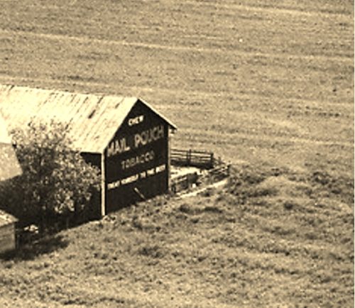
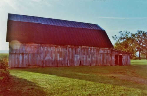
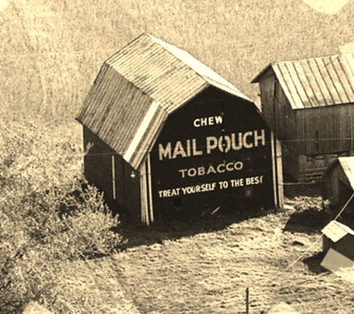
*GONE* US Rt. 30 (Lincoln Hwy.) east of Bayard by about 0.9 mile. The barn was on the left side of the highway headed west into Bayard. The MP sign faced north. One side. Black. Most of the sign had been sided over.
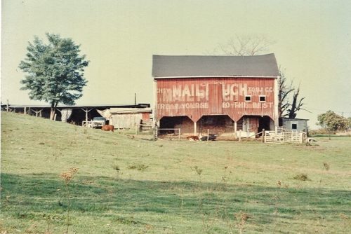
*GONE* (painted over) Along US Rt. 30 (Lincoln Hwy) west of the intersection with Market St., in Lisbon, by 1.4 miles. The barn is on the left side of the highway headed west. Two MP signs, north end, and east side. Red background.
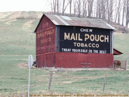
Along the northeast side of OH-60 north of CR-318, in Blissfield, by about 1.25 miles. Just past the intersection with TR-25. The barn is on the right side of the highway headed north. The Mail Pouch sign that had been painted over red faces west and the still-black Mail Pouch sign faces south. This barn is close to the Helmick Covered Bridge. One end and one side. Black Backgrounds.
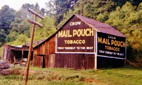
*GONE* (fallen and removed) Along the northeast side of US-36, northwest of OH-79 by 1.5 miles. The barn was on the right side of the highway headed north. Two Mail Pouch signs. One sign on the west end; and, one sign on the south side. Black Backgrounds.
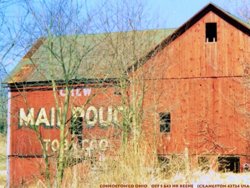
*(GONE)* Along the west side of OH-83, north of OH-643 by 4.0 miles. The barn was on the left side of the highway headed north. The Mail Pouch sign faced south. One side. Red Background.
*GONE (fallen and removed)* OH Rt. 83 north of OH Rt. 643 by about 7.4 miles. This barn was on the right side of the highway headed north. One end. Red.
OH Rt. 83 north of US Rt. 36 by about 7.8 miles. The barn is on the left side of the highway headed north. There are two signs. One sign on the south end. One sign on the east side. Original Black background. Portion is Greatly faded. Portion is Painted Over. Some vine growth also make it dificcult to see.
OH-93 north of US-36 by about 8.4 miles. Barn is on the right side of the highway headed north. The Mail Pouch sign on the side of the barn faces southwest. The Mail Pouch sign on the end of the barn faces northwest. One end. One side. Original black backgrounds.
*GONE* (razed and removed) Along the west side of Twp. Rd. 206 west of the intersection with OH Rt. 643,by about 0.2 mile. The barn was on the left side of the road headed northwest. The Mail Pouch sign was on the southeast side of the barn. One side. Red background.
*GONE* (razed and removed) Along the west side of OH-206, north of the intersection with OH-715, in Walhonding, by 5.8 miles. The barn was on the left side of the highway headed north. The Mail Pouch sign was on the east side of the barn. One side. Red Background.
*GONE* (razed and removed) Along the southwest side of OH-83, bust before the OH-643 intersection, and north of the intersection, with US-36 by 3.8 miles. The barn was on the left side of the highway headed northwest. There was a Mail Pouch sign on both sides of the barn. Black backgrounds.
*GONE* (razed and removed) Along the southeast side of OH-751 (just northeast of Bakersville), north of the intersection with US-36 by 6.3 miles. The barn was on the right side of the highway headed northeast. The Mail Pouch sign was on the northeast end of the barn. One end. Black background.
*GONE* (faded away) US Rt. 30 southeast of Co. Hwy. 1 in Oceola by about 1.75 miles. Northeast of US Rt. 30 (Bucyrus Bypass) by about 1.25 miles. The barn is on the right side of the highway headed northeast. The MP sign faced northwest. One end. Original Black background.
*GONE* (fallen and removed) OH Rt. 4 northeast of OH Rt. 294 by about 1.2 miles. The barn was on the left side of the highway headed northeast. The MP sign faced southwest. One end. Black.
*GONE* (razed and removed) Along the west side of OH-4 north of the US-30 by 1.8 miles. The barn was on the left side of the highway headed north from US-30. The Mail Pouch sign faced north. One end. Red backgound.
On Koppe Ct. just south of OH Rt. 19/OH Rt. 61/OH Rt. 309 (Harding Way W.), in Galion, by about 250'. The barn is on the left side of Koppe Ct. headed south. The MP sign faces south. One end. Black.
*GONE* (fallen and removed) OH Rt. 19 northwest of Galion by about 1.9 miles. Adjacent to the Gospel Baptist Church parking lot. One side. Black background.
*GONE* (razed and removed) Along the east side of OH-4 north of the US-30 interchange by 6.3 miles. The barn was on the right side of the road headed north from US-30. The Mail Pouch sign was on the south end of the barn. One end. Black background.
*GONE* (razed and removed) OH Rt. 4 south of the Crawford Co./Seneca Co. line by 1.7 miles. The barn was on the right side of the highway headed southwest. The MP sign faced southeast. One side. Unknown background color.
*GONE* (razed and removed) The barn was on the south side of Old Lincoln Hwy east of the US-30 intersection by 1.6 miles. The barn was on the right side headed east. The Mail Pouch sign faced west. One end. Balck background.
