MPB 14-49-01

Photo 1
Sides Painted
2
Color
Black
Structure
Barn
Unique Characteristics
None
Still Standing
No
Credits

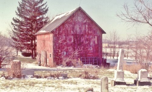
Photo 1 by Tom Plimpton (1984).

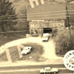
Photos 2 & 3 by unknown VA # 200-NMA-28 (1984) courtesy of Vintage Aerial

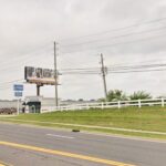
Photo 4 Google street view (June 2024).

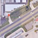
Photo 5 Google satellite image.
Other Information

There was a comment accompanying the Vintage Aerial photo which noted that the barn was razed and removed ca. 1997-99.
Where to find it

*GONE* (razed and removed ca. 1997-99) Along the northwest side of Pendleton Pike (IN-67/US-36) northeast of the I-465 interchange by 3.6 miles. The barn was on the left side of Pendleton Pike headed northeast away from Lawrence. The barn was right at the southwest end of the Hoss Cemetery. There was a Mail Pouch sign on the northeast end of the barn and a Mail Pouch sign on the southeast side of the barn. Original black background.
Address
10730 Pendleton Pike (IN-67/US-36)
City
Lawrence
State
IN
Zipcode
46236
Country
USA
Latitude
N 39° 51.6458'
Longitude
W -85° 58.6193'
lat
39.860763
lng
-85.976989
  • Photo 2
  • Photo 3
  • Photo 4
  • Photo 5