Other Information
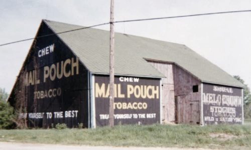
Photo 1 is Photo #24 from The Myron Huffman Collection.
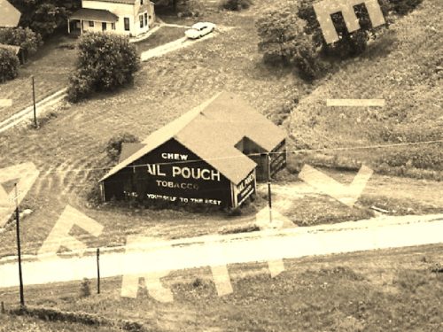
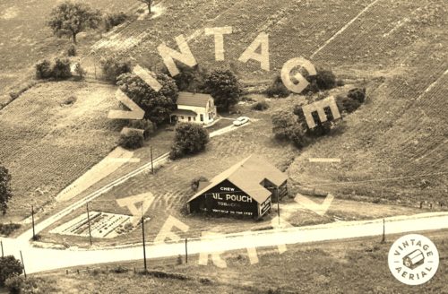
Photo 2 is an enlarged inset view from Photo 3. Note that at the date of this photo (1966) all the signs on the barn were Mail Pouch signs.
This barn was positively located using the
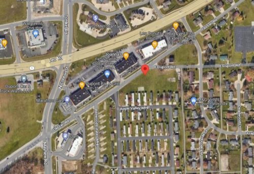
Historic Aerials imagery website. The distance measurement tool was used and the decimal coordinates for th barn were obtained. The coordinates were input to the Google map program and the red pin on photo 4 is the exact location where the Mail Pouch barn once stood.
Photo 4 (Google satellite image) the red pin marks the location where the barn was once located. This pin was used to determine the address and the coordinates.
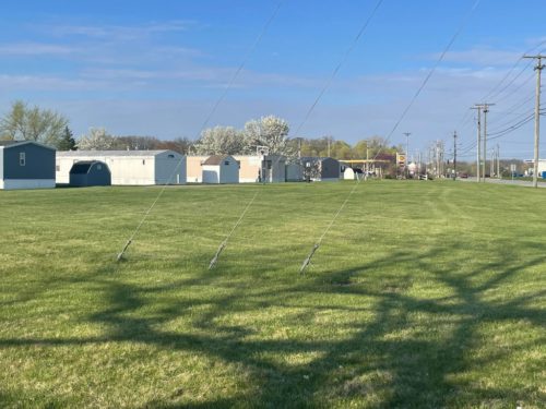
Photo 5 is a view taken from Old Leo Rd, looking in at the site where the barn once stood.
Where to find it *GONE* (razed and removed) Along the southeast side of Old Leo Rd. northeast of the intersection with Mayhew Rd. by 0.2 mile. The barn was on the right side of the road headed northeast from Mayhew. The Mail Pouch/Melo Crown side faced west. The Mail Pouch end faced north. Black backgrounds.
