- [01] Adams Co, OH (18)
- [02] Allen Co, OH (2)
- [03] Ashland Co, OH (14)
- [04] Ashtabula Co, OH (11)
- [05] Athens Co, OH (20)
- [06] Auglaize Co, OH (5)
- [07] Belmont Co, OH (24)
- [08] Brown Co, OH (32)
- [09] Butler Co, OH (8)
- [10] Carroll Co, OH (22)
- [11] Champaign Co, OH (9)
- [12] Clark Co, OH (3)
- [13] Clermont Co, OH (10)
- [14] Clinton Co, OH (4)
- [15] Columbiana Co, OH (19)
- [16] Coshocton Co, OH (14)
- [17] Crawford Co, OH (13)
- [18] Cuyahoga Co, OH (15)
- [19] Darke Co, OH (8)
- [20] Defiance Co, OH (7)
- [21] Delaware Co, OH (10)
- [22] Erie Co, OH (4)
- [23] Fairfield Co, OH (9)
- [24] Fayette Co, OH (3)
- [25] Franklin Co, OH (12)
- [26] Fulton Co, OH (4)
- [27] Gallia Co, OH (9)
- [28] Geauga Co, OH (10)
- [29] Greene Co, OH (1)
- [30] Guernsey Co, OH (34)
- [31] Hamilton Co, OH (6)
- [32] Hancock Co, OH (5)
- [33] Hardin Co, OH (5)
- [34] Harrison Co, OH (15)
- [35] Henry Co, OH (4)
- [36] Highland Co, OH (15)
- [37] Hocking Co, OH (7)
- [38] Holmes Co, OH (12)
- [39] Huron Co, OH (15)
- [40] Jackson Co, OH (7)
- [41] Jefferson Co, OH (11)
- [42] Knox Co, OH (13)
- [43] Lake Co, OH (2)
- [44] Lawrence Co, OH (9)
- [45] Licking Co, OH (17)
- [46] Logan Co, OH (5)
- [47] Lorain Co, OH (13)
- [48] Lucas Co, OH (5)
- [49] Madison Co, OH (6)
- [50] Mahoning Co, OH (13)
- [51] Marion Co, OH (5)
- [52] Medina Co, OH (9)
- [53] Meigs Co, OH (15)
- [54] Mercer Co, OH (3)
- [55] Miami Co, OH (4)
- [56] Monroe Co, OH (28)
- [57] Montgomery Co, OH (11)
- [58] Morgan Co, OH (20)
- [59] Morrow Co, OH (9)
- [60] Muskingum Co, OH (24)
- [61] Noble Co, OH (15)
- [62] Ottawa Co, OH (8)
- [63] Paulding Co, OH (6)
- [64] Perry Co, OH (8)
- [65] Pickaway Co, OH (7)
- [66] Pike Co, OH (9)
- [67] Portage Co, OH (8)
- [68] Preble Co, OH (9)
- [69] Putnam Co, OH (9)
- [70] Richland Co, OH (11)
- [71] Ross Co, OH (7)
- [72] Sandusky Co, OH (8)
- [73] Scioto Co, OH (16)
- [74] Seneca Co, OH (16)
- [75] Shelby Co, OH (5)
- [76] Stark Co, OH (16)
- [77] Summit Co, OH (5)
- [78] Trumbull Co, OH (3)
- [79] Tuscarawas Co, OH (15)
- [80] Union Co, OH (9)
- [81] Van Wert Co, OH (5)
- [82] Vinton Co, OH (9)
- [83] Warren Co, OH (3)
- [84] Washington Co, OH (34)
- [85] Wayne Co, OH (20)
- [86] Williams Co, OH (4)
- [87] Wood Co, OH (5)
- [88] Wyandot Co, OH (10)
On a three story brick building along the southwest side of S. Broadway St. just northwest of the Broadway St/Martin St/Washington Ave. Junction. The sign is on the north side of the building. One side. Difficult to see what the original background color was.
Southeast corner of Colerain Ave. & Bader St. intersection, in Cincinnati. The Henry George sign faces south. One side. Three story brick building. Brown. Greatly faded.
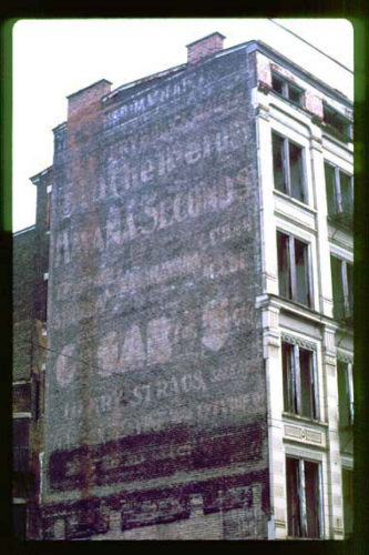
Along Vine St. south of E. Liberty St. intersection, in Cincinnati, by about 260'. The 5 story masonry building is on the left side of Vine St. headed south from E. Liberty St. The Havana Seconds Cigar sign faces north. Unknown original background color. Probably black. Greatly faded.
*GONE* (covered by a Quilt Plaque) US-20 (E. Main St.) northeast of OH-534 (N. Broadway) by about 200', in Geneva. The building is on the left side of the street headed northeast. The HS sign faces northeast. One side of the brick building.
*GONE (razed and removed)* Cedar Ave. between E. 103rd St. & E. 101st St., in Cleveland. The building was on the left side of Cedar Ave. headed west from E. 103rd St. toward E. 101st St. The HS sign faced east. One side . Brick building. Brown.
OH Rt. 14/OH Rt 43 (Broadway Ave.) between Czar Ave. & e. 49th St., in Cleveland. Headed southeast on Broadway Ave. from Czar Ave. toward E. 49th St. the building is on the right side of the avenue. The HS sign faces north. One side. Brick building. Brown. Greatly faded.
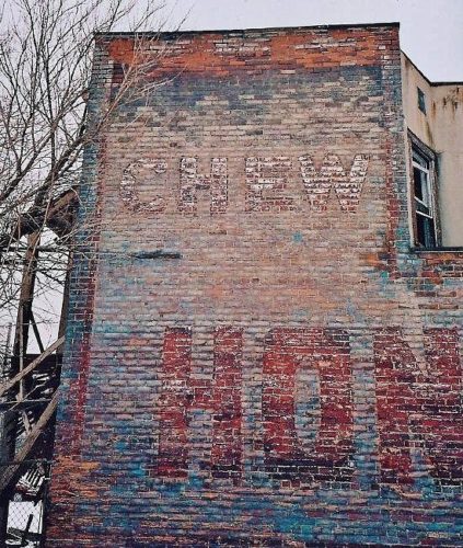
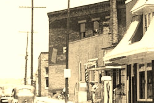
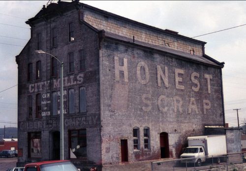
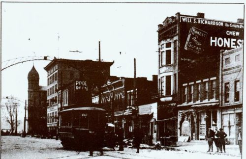
*GONE (razed and removed)* Southeast corner of the E. Main St./S. Front St. intersection, in Oak Hill. In 2018 Google Earth view now a vacant lot. The 'Chew Honest Scrap' sign faced to the west. One side. Two story brick/masonry building.
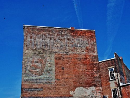
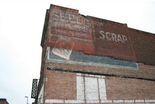
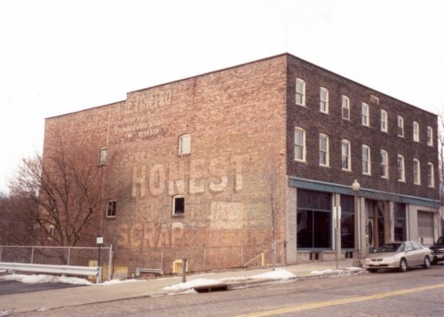
OH Rt. 25 (N. Erie St. 'one-way'), in Toledo. On the left side of the street headed northeast between Monroe St. & Jefferson Ave. The Honest Scrap sign faces northeast. One side of brick building. Original Background color - unknown. Greatly faded.
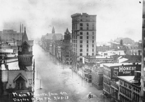
*GONE (demolished)* S. Main St. between E. 4th St. & E. 3rd St. (just before Market St), in Dayton. The brick building was on the right side of the street headed north. The HS sign faced south. One side of brick building. Unknown color.
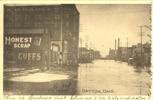
*GONE* E. 3rd St. in Dayton. One side. Black.
*GONE* (sand blasted off) At the southeast corner of the N. Main St. (OH-13)/W 5th St. intersection in Mansfield. One side. Brown Background.
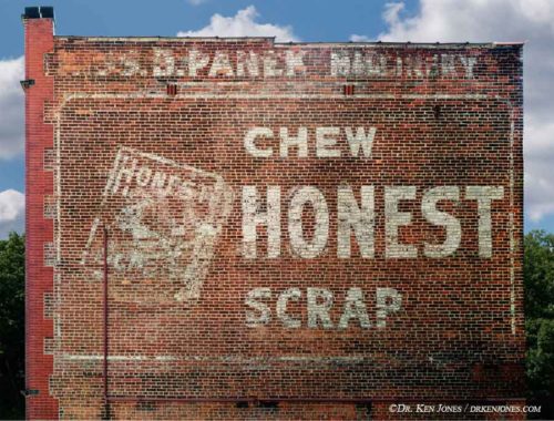
Along the southwest side of Canal St. N, northwest of the intersection with Cherry St W (OH-93), in Canal Fulton, by 500 '. The brick building is on the left side of the street headed northwest. The Honest Scrap sign faces southeast. One side of 3 story, brown brick building. Greatly faded.
*GONE (building razed)* Greene St. between Front St. & 2nd St., in Marietta. The three story masonry building was on the left side of the street headed northeast from Front St. by about 340'. The Honest Scrap sign faced northeast. Black background.
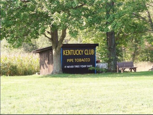
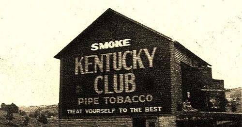
OH Rt. 171 (Waynesburg Rd. NW) east of Waynesburg by about 4.4 miles; and, east of the Stark County line by about 3.7 miles. Right side of the highway headed east. The KC sign faces north. One side. Black.
*GONE* Londonderry. One end. Black.
*GONE (painted over)* OH Rt. 31 south of Kenton by about 2.5 miles. The barn is on the right side of the highway headed south. The KC sign faced north. One end. Original black. Now over-painted white.
*GONE* (razed. New barn on the old foundation) The barn site is on the south side of Columbus Rd southwest of Hartford Ave in Centerburg, by 1.3 mile. The barn site is on the left side of the highway headed west. One end. The Kentucky club sign faced west. Black Background.
*GONE* (razed and removed) Along the north side of Worthington Rd. east of OH-310 intersection by 0.3 miles. The barn was on the left side of the highway headed east. The Kentucky Club Tobacco sign faced west. One endl Black Background.
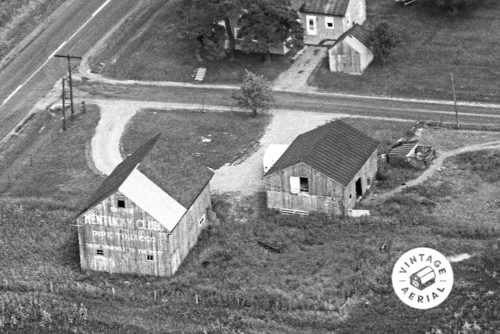
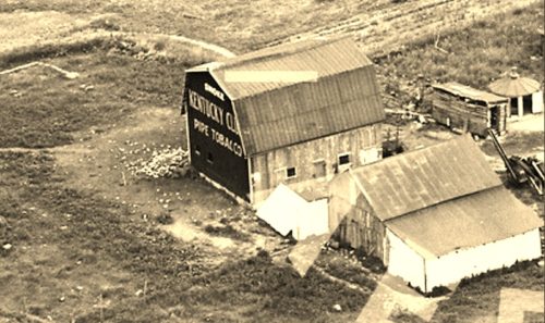
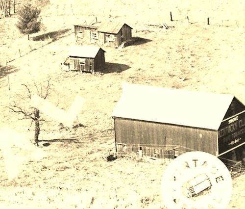
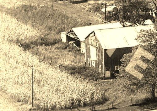
*GONE* (All buildings on the site as shown in Photo 2 have been razed and removed) Along the nothwest side of Marietta Rd (OH-821) south of the Pleasant Rd/Main St intersection, in Pleasant City, by 1.4 miles. The barn was on the right side of the highway headed southwest. The Kentucky Club tobacco sign faced northeast. One end. Black Background.
*GONE* (faded away) Along the west side of Dennison Ashtabula Rd (OH-46) north of the Greenville Rd (OH-88) intersection, in Mecca, by 2.6 miles. The barn is on the left side of the road headed north. The sign was on the south end of the barn. One end. Original Black background.


