- [01] Adams Co, PA (2)
- [02] Allegheny Co, PA (32)
- [03] Armstrong Co, PA (13)
- [04] Beaver Co, PA (12)
- [05] Bedford Co, PA (18)
- [06] Berks Co, PA (10)
- [07] Blair Co, PA (4)
- [08] Bradford Co, PA (1)
- [10] Butler Co, PA (19)
- [11] Cambria Co, PA (16)
- [13] Carbon Co, PA (1)
- [14] Centre Co, PA (12)
- [16] Clarion Co, PA (13)
- [17] Clearfield Co, PA (11)
- [18] Clinton Co, PA (6)
- [20] Crawford Co, PA (15)
- [21] Cumberland Co, PA (5)
- [22] Dauphin Co, PA (8)
- [24] Elk Co, PA (2)
- [25] Erie Co, PA (11)
- [26] Fayette Co, PA (29)
- [27] Forest Co, PA (3)
- [28] Franklin Co, PA (4)
- [29] Fulton Co, PA (10)
- [30] Greene Co, PA (29)
- [31] Huntingdon Co, PA (10)
- [32] Indiana Co, PA (14)
- [33] Jefferson Co, PA (11)
- [34] Juniata Co, PA (5)
- [36] Lancaster Co, PA (6)
- [37] Lawrence Co, PA (12)
- [39] Lehigh Co, PA (7)
- [40] Luzerne Co, PA (1)
- [41] Lycoming Co, PA (1)
- [42] McKean Co, PA (8)
- [43] Mercer Co, PA (17)
- [44] Mifflin Co, PA (7)
- [45] Monroe Co, PA (5)
- [46] Montgomery Co, PA (1)
- [47] Montour Co, PA (0)
- [48] Northampton Co, PA (5)
- [49] Northumberland Co, PA (1)
- [50] Perry Co, PA (5)
- [51] Philadelphia Co, PA (1)
- [54] Schuylkill Co, PA (2)
- [56] Somerset Co, PA (22)
- [59] Tioga Co, PA (1)
- [61] Venango Co, PA (7)
- [62] Warren Co, PA (2)
- [63] Washington Co, PA (29)
- [64] Wayne Co, PA (2)
- [65] Westmoreland Co, PA (24)
- [67] York Co, PA (8)
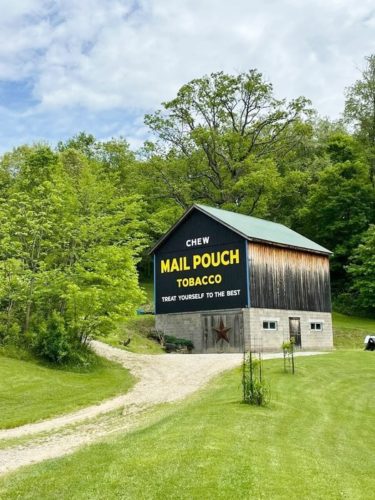
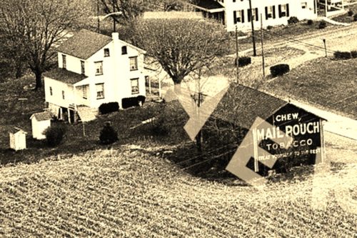
Along the southeast side of Reservoire Rd. northeast of the intersection with Clay Pike, in Herminie, by 0.5 miles. The barn is on the right hand side of the road headed northeast from Clay Pike. The Mail Pouch sign faces northwest. One end. Black Background.
*GONE* N. Susquehanna Trail (St. Rt. 4005), approximately 200' south of PA Rt. 921 (E. Canal Road). South of Zion's View by about 0.4 miles. The barn was on the right side of the highway headed southeast. Two ends and one side. Black.
*GONE* (either covered over or old siding replaced with new). 4950 N. Susquehanna Trail (PA Rt. 297), approximately 1.5 miles north of the PA Rt. 921 (Canal Road) and PA Rt. 295 intersection. South of I-83 by about 1 mile. One end.
*GONE* US Rt. 30 east of York. One end. Black.
*GONE* (razed and removed) Along the west side of N. Main St. (Susquehanna Trail S), north of Forrest Ave, in Shrewsbury, by 1.2 miles. The barn was on the left side of N. Main St. headed north out of Shrewsbury. The Mail Pouch sign faced south. One end. Red backgound.
*GONE*(razed and removed) Along the southeast side of US Rt. 30 (Lincoln Hwy) northeast of the intersection with PA Rt. 194, in Abbottsville, by 4.7 miles. The barn was on the right side of the highway headed northeast. The Mail Pouch sign was on the northeast end of the barn. One end. Black background.
*GONE *(razed and removed) Along the Lincoln Hwy (PA Rt. 462) southwest of the intersection with PA Rt. 624 (S. Front St.), in Wrightsville, by 2.0 miles. the barn was on the left side of the highway headed southwest. The Mail Pouch sign was on the northeast side of the barn. Black background.
*GONE* (razed and removed) Along the northwest side of Lincoln Hwy. (US-30) northeast of the traffic circle, in Abbottstown, by 0.4 mile. The barn was on the left side of Lincoln Hwy, headed northeast out of Abbottstown. Mail Pouch sign on the southwest and northeast ends; and, Mail Pouch sign on the southeast side. Black backgrounds.
*GONE* (razed and removed) Along the northwest side of Main St. south west of Maphelia Rd./Valley View Rd. intersection, in Yorkana by 0.4 mile. The barn was on the right side of Main St. headed southwest out of Yorkana. The Mail Pouch sign faced southwest. One end. Black background.
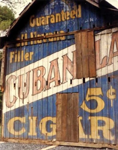
*GONE* PA Rt. 873 near Slatington. Had been painted over with a Cubanola Cigar sign.
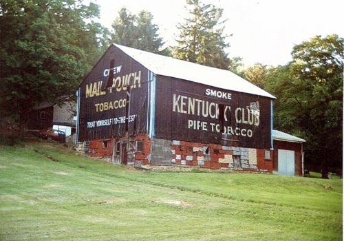
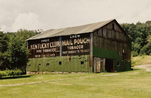
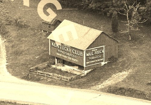
Along the southeast side of Laurel Rd. The barn used to be visible from along the nothwest side of Dime Rd. (PA-66A); however, it is now shielded by a tree line. The barn is northeast of the Lincoln Ave. (PA-66) intersection, in Vandergrift, by about 2.8 miles. The barn is on the left side of Dime Rd. (PA-66A) headed northeast. The Mail Pouch sign end faces southwest. The Kentucky Club sign side faces southeast. One end. One side. Black backgounds.
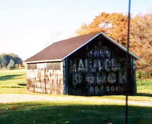
*GONE* (remodeled) Along the northwest side of PA-66, north of 3rd St., in Leechburg, by about 2.7 miles. The NE end, SW end and SE side have all had Mail Pouch signs. It appears from the photos that only the SE side has had a Kentucky Club tobacco sign. Black backgrounds.
*GONE (fallen)* On PA Rt. 26 (Raystown Rd.) north of US Rt. 30 (Bud Shuster Byway.) by about 6.0 miles. To access the site head north from US Rt. 30, on PA Rt. 1007 (Old Sand Bank Rd.) to merge point with PA Rt. 26. The barn was on the left side of the highway headed north. MP end faced east. MP/KC side faced north. One end and one side. Black backgrounds.
*GONE* US Rt. 219 (Mahaffey Grampian Hwy.) south of Main St., in Grampian, by about 4.5 miles. Just north of the PA Rt. 969 (Lumber City Hwy.) intersection. The barn was on the left side of the highway headed southwest. One side (Kentucky Club) faced north. One end (Mail Pouch) faced west. Black.
*GONE (painted over)* PA Rt. 879 (Curensville Grampian Hwy.) northeast of US Rt. 219 (Main St.), in Grampian, by about 0.4 mile. The barn is on the left side of the highway headed northeast. One end. One side. Red.
*GONE (faded away)* US Rt. 522 (Great Cove Rd.) southwest of US Rt. 30 (Lincoln Hwy.) by 11.5 miles. The barn is on the left side of the highway. One end (Kentucky club) faced southeast; and one side (Mail Pouch) faced southwest. Red backgrounds.
*GONE (razed and removed)* PA Rt. 56 east of US Rt. 119 (Buffalo-Pittsburgh Hwy.), in Homer City, by about 2.5 miles. The barn is on the left side of the highway headed northeast. One end MP sign faces southwest; and one side MP sign and KC sign faces southeast. Black.
*GONE (painted over)* PA Rt. 147, northeast of US Rt. 209 (Union St.) intersection, in Millersburg, by about 7.5 miles. North of the Northumberland/Dauphin Co, line by about 1.3 miles. The barn is on the left side of the highway headed northeast. The barn overlooks the Susquehanna River. Two ends. One side. Red backgrounds.
*GONE* (faded away) Along the northwest side of PA-34 (Spring Road) southwest of the intersection with PA-274, in Mecks Corner, by 1.6 miles. The barn is on the right side of PA-34 headed southwest. The northeast end of the barn fronts on Spangle Lane. Mail Pouch signs on the northeast and southwest ends and Kentucky Club sign on the southeast side. Red backgrounds.
*GONE (razed and removed)* This barn was located along old rt 322, west of US-322 intersection, at Hannasville, by about 1.0 mile. The barn was on the right side of the highway headed west. The Mail Pouch/Kentucky Club sign faced southwest. One side. Black background.
