- [01] Barbour Co, WV (9)
- [02] Berkeley Co, WV (2)
- [03] Boone Co, WV (4)
- [04] Braxton Co, WV (7)
- [05] Brooke Co, WV (2)
- [06] Cabell Co, WV (8)
- [07] Calhoun Co, WV (6)
- [09] Doddridge Co, WV (3)
- [10] Fayette Co, WV (4)
- [11] Gilmer Co, WV (2)
- [13] Greenbrier Co, WV (5)
- [14] Hampshire Co, WV (7)
- [15] Hancock Co, WV (1)
- [16] Hardy Co, WV (0)
- [17] Harrison Co, WV (7)
- [18] Jackson Co, WV (12)
- [20] Kanawha Co, WV (6)
- [21] Lewis Co, WV (5)
- [22] Lincoln Co, WV (8)
- [23] Logan Co, WV (0)
- [24] Marion Co, WV (16)
- [25] Marshall Co, WV (14)
- [26] Mason Co, WV (12)
- [29] Mineral Co, WV (5)
- [31] Monongalia Co, WV (8)
- [32] Monroe Co, WV (1)
- [33] Morgan Co, WV (1)
- [34] Nicholas Co, WV (5)
- [35] Ohio Co, WV (16)
- [37] Pleasants Co, WV (3)
- [38] Pocahontas Co, WV (3)
- [39] Preston Co, WV (6)
- [40] Putnam Co, WV (4)
- [42] Randolph Co, WV (11)
- [43] Ritchie Co, WV (8)
- [44] Roane Co, WV (6)
- [46] Taylor Co, WV (14)
- [47] Tucker Co, WV (1)
- [48] Tyler Co, WV (4)
- [49] Upshur Co, WV (5)
- [50] Wayne Co, WV (10)
- [51] Webster Co, WV (4)
- [52] Wetzel Co, WV (4)
- [53] Wirt Co, WV (5)
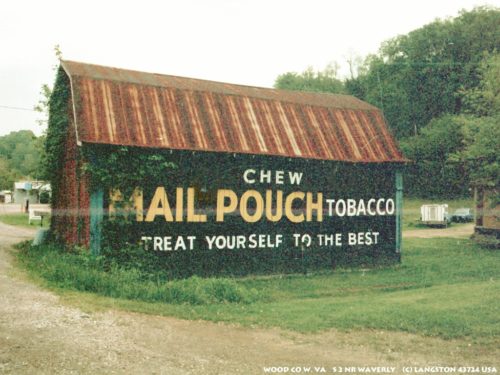
- [54] Wood Co, WV (15)
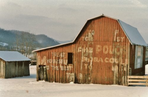
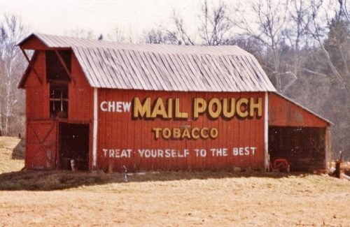
US Rt. 219 south of the Tucker Co. line by about 5.3 miles. The barn is on the right side of the highway headed south. One end. One side. Red. Greatly faded.
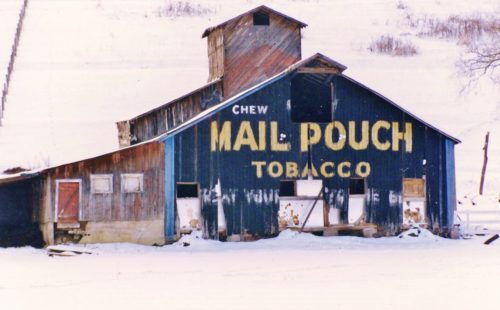
*GONE* Near Kerens. Between old US-219 and the Western Maryland RR tracks. One end. Black.
*GONE (fallen and removed)*US Rt. 219/WV Rt. 55, north WV 15, at Valley Head by about 1.2 miles. The barn was on the left side of the highway headed north. Two ends. Black.
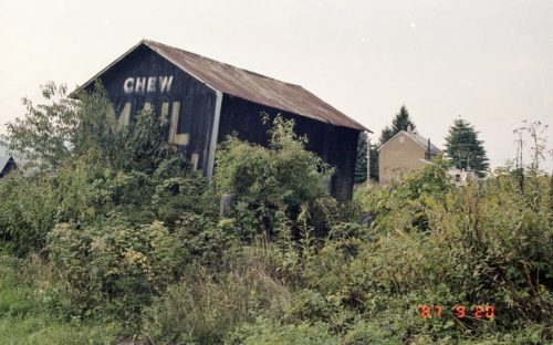
*GONE* old US Rt. 33/US Rt. 119 intersection, north of Elkins. One end. Black.
*GONE* (razed and removed) Along the east side of Seneca Trail (WV-55/WV-92/US-219/US-250) south of Court St. intersection, in Beverly, by 1.9 miles. The barn was on the left side of Seneca Trail headed south from Beverly. The Mail Pouch barn south end faced on Scotts Lake Rd. One end. Black background.
*GONE* US Rt. 250/WV Rt. 92 south of US Rt. 219 intersection, in Huttonsville, by 2.2 miles. The barn was on the right side of the highway headed southeast from Huttonsville. The MP sign faced northeast. One end Black.
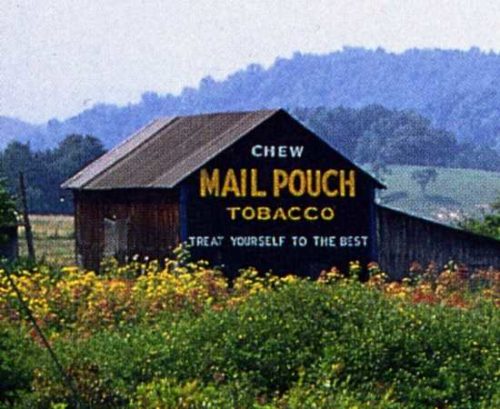
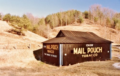
Along the east side of CR-50/34 north of US-50 by about 4.5 miles. The barn is on the right side of the road headed northeast. The Mail Pouch sign faces southwest. One end. Black background.
Along the south side of Mountain Dr. (WV-74) north of Myles Ave. (CR-50/39/old US-50), in Pennsboro, by about 5.1 miles. The barn is on the right side of the highway headed northeast. The Mail Pouch sign faces northwest. One side. Black background.
Along the northwest side of CR-50/40 (old US-50) over looking the town of Toll Gate. From WV-74 intersection, with CR-50/40, east of Pennsboro, head east for 2.2 miles to Barber Hill that intersects CR-50/40 from the left. Bear left onto the road and travel 0.3 miles. The barn is on the left side of Barber Hill. The Mail Pouch sign faces northeast. Barber Hill was once old US-50 which continued on in a northeast direction to intersect CR-50/43/old US-50. At one time a person travelling west on old US-50 would have had a full and close view of the Mail Pouch sign which faces northeast. One side. Black background.
*GONE* (razed and removed) Along the west side of Ellenboro Rd (WV-16) south of the US-50 intersection by 2.7 miles. The barn was on the right side of WV-16 headed headed south from US-50. The Mail Pouch sign faced north. One side. Red background.
*GONE* (razed and removed) Along the east side of Smithville Rd (WV-16) south of S. Spring St. intersection, in Harrisville, by 4.2 miles. The barn was on the left side of WV-16 headed south from Harrisville. The Mail Pouch end faced north. The Mail Pouch side faced west. Black backgrounds.
*GONE* (razed and removed) Along the southwest side of Staunton Turnpike (WV-47) southeast of the RitchieCo./Wirt Co. line by 5.4 miles. The Mail Pouch barn was on the right sie fo the Staunton Turnpike headed southeast from the County line. The Mail Pouch sign faced north. One end. Black background.
*GONE* (dismantled and sold) Along the north side of Arnoldsburg Rd. (US-33/US-119) east of WV-14 (just west of Spencer), by 6.0 miles. The barn was on the left side of Arnoldsburg Rd. headed east from WV-14. The Mail Pouch sign faced east. One side. Black background.
*GONE* Along the west side of Charleston Rd. (US-119) south of US-33 (Main St.), in Spencer, by about 5.5 miles. The barn was on the right side of Charlseton Rd. headed south from Spencer. The Mail Pouch sign faced east. One end. Red background.
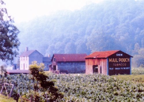
Along the west side of Parkersburg Rd. (WV-14) north of WV-33, in Spencer, by about 3.8 miles. The barn is on the left side of Parkersburg Rd. headed north from Spencer. Mail Pouch end faces north. Mail Pouch side faces east. Black backgrounds.
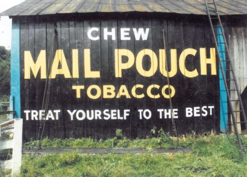
Along the west side of Parkersburg Rd. (WV-14) north of US-33 (Main St.), in Spencer, by about 6.0 miles. The barn is on the left side of Parkersburg Rd. headed north from Spencer. The Mail Pouch sign faces east. One side. Black background.
US-119 (Victory Ave.) north of US-50 (N. Pike St.) in Grafton, by about 2.0 miles. The barn is on the left side of the highway headed northeast. The Mail Pouch sign faces northeast. One end. Black background.
*GONE* Exact location in Taylor Co, is unknown.
Along the southeast side of Energy Hwy (WV-2), in Friendly, southwest of WV-18 (Tyler Hwy.) by about 4.1 miles. The barn is on the left side of the highway headed southwest. The Mail Pouch sign faces southwest. One side. Black Background.
*GONE* Along the southeast side of Energy Hwy. (WV-2 ) southwest of the Tyler Hwy. (WV-18) intersection (just south of Sistersville) by 2.5 miles. The barn was on the left side of the Energy Hwy. (WV-2) headed southwest from Sistersville. The Mail Pouch sign faced north. One end. Black background.
