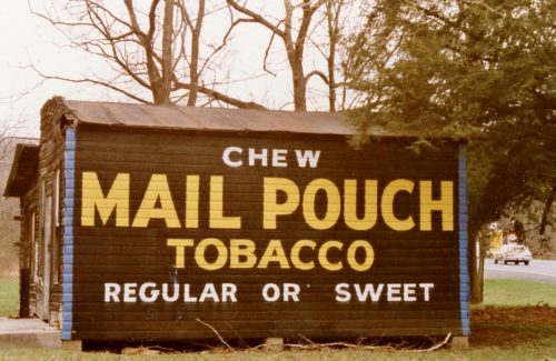
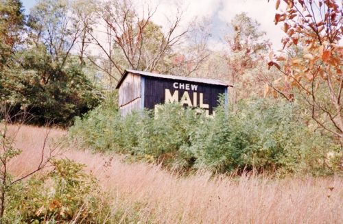
Along the east side of Nothwestern Turnpike (US-50) northwest of the US Rt. 50/WV Rt. 29 junction by about 3.7 miles. The barn is on the right side of the highway headed north. The Mail Pouch sign faces north. One side. Black background.
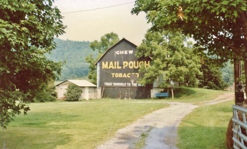
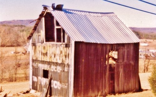
Along the southwest side of Northwestern Turnpike (WV-29/US-50) north west of the WV-29/US-50 junction by about 3.1 miles. The barn is on the left side of the highway headed northwest. Two ends. Black backgrounds.
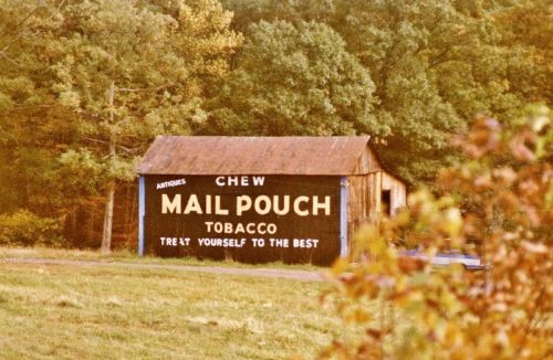
*GONE* (painted over) Along the southeast side of Blommery Pike (WV-29/N. Main St.) northeast of US-50 by about 7.1 miles. The barn is on the right side of the highway headed northeast. The Mail Pouch sign faced northwest. One side. Black background.
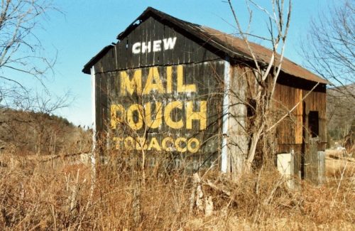
*GONE* (fallen and removed) Along the north side of Northwestern Turnpike (WV-28/US-50) west of High St. intersection, in Romney, by about 5.5 miles. East of the intersection with US-220, in Junction by 1.5 miles. The barn was on the right side of the highway headed west from Romney. The Mail Pouch sign faced west. One end. Black background.
*GONE* (razed and removed) Along the northwerst side of Bloomery Pike (WV-29) northeast of US-50 intersection by 7.1 miles. The barn was on the left side of the highway headed northeast. The Mail Pouch sign faced southeast. One side. Black background.
*GONE (fallen)* Along the southeast side of Northwestern Pike (US-50/WV-28) northeast of US-220 intersection by about 3.0 miles. The barn was on the right side of the highway headed northeast. Two ends. Black backgrounds.
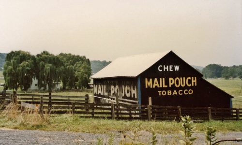
Along the north west side of Northwestern Pike (US-50/WV-28) east of US-220 intersection by about 2.2 miles. The barn is on the left side of the highway headed east. Two ends. One side. Black backgrounds.
