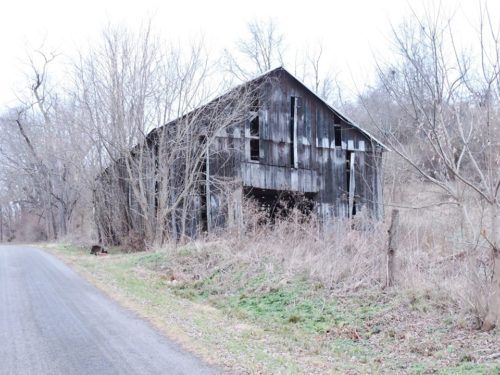
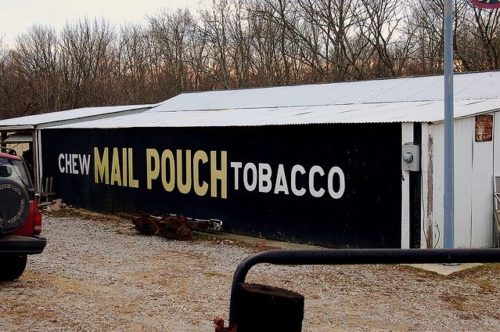
Cr 67A generally between Higginsport and Ripley. To access the site. From the intersection of US Rt 52 (Ohio River Scenic Byway) and OH Rt. 221 (White Oak St.), in Higginsport, head east on US Rt 52 for 2.5 miles to Old US Rt. 52. Make left onto Old US Rt 52. Head northwest approximately 0.4 mile to Co Hwy 4A. Make a right onto Co Hwy 4A. Head north and make first left onto Co Hwy 67A (A and P Rd). The barn is on the right side headed northwest. The MP sign faces southeast. One end. Black.
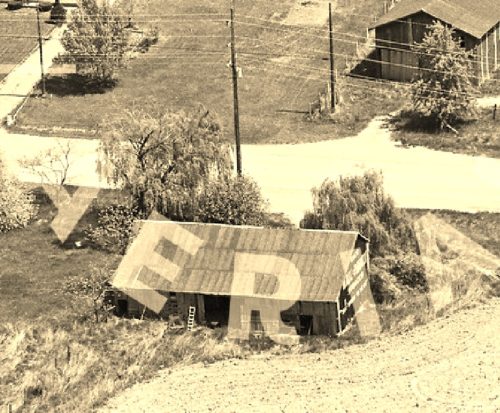
*GONE* (razed and removed) Along N High St (US-68) north of the intersection with OH Rt. 32 by about 0.2 mile. The barn was on the left side of the highway headed north. The Mail Pouch sign was on the north end of the barn. One end. Black background.
*GONE* (razed and removed) Along OH Rt 125 northwest of the intersection with Main St., in Georgetown, by about 2.5 miles. The barn was on the left side of the highway headed northwest. The mail Pouch sign was on the southeast end of the barn. One end. Black background.
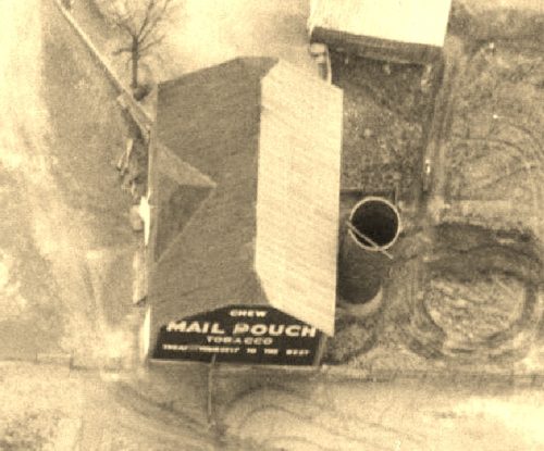
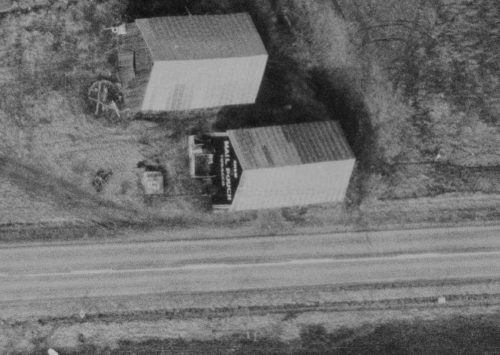
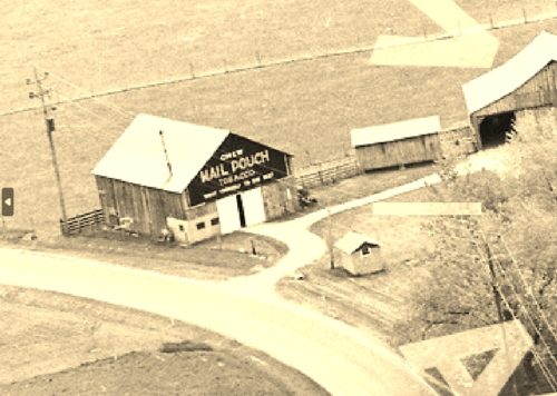
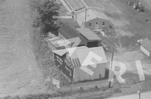
*GONE* (razed and removed) Along US Rt. 52 (Ohio River Scenic Byway) southeast of the intersection with OH Rt. 221, in Higginsport, by about 2.2 miles. The barn was on the right side of the highway headed southeast from Higginsport. The site is now the Brown County Rural Water Association. Mail Pouch sign was on the northwest end of the building. Black background.
*GONE* (razed and removed) Along US Rt. 62 southwest of the intersection with OH Rt. 353, in Redoak, by about 0.1 mile. The barn was on the right side of the highway headed southwest.
*GONE* (painted over) Along Old State Rte. 68 (S. Main St.), south of the intersection with OH Rt. 125, in Georgetown, by about 2.7 miles. The barn is on the right side of the highway headed south. The Mail Pouch sign was on the northend of the barn. Onr end. Black backgound.
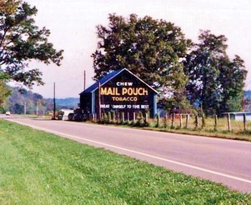
Along the Tri-County Hwy (Co Hwy 24C) northwest of the Main St. intersection, in Winchester, by about 2.5 miles. Northwest of the Brown/Adams County line by 0.8 mile. The barn is on the left side of the highway headed northwest. The Mail Pouch sign is on the southeast end of the barn. One end. Black background.
Along US-68. southeast of the intersection with OH-125 (east of Georgetown) by 1.9 miles. The building is on the right side of the highway headed south. The Mail Pouch sign is on the east side of the building. One side Black background.
Along the northeast side of OH-125 northwest of the Grany Ave. intersection, in Georgetown, by 1.9 miles. The barn is on the right side of OH-125 headed northwest out of Georgetown. The Mail Pouch sign faces northwest. One end. Black background.
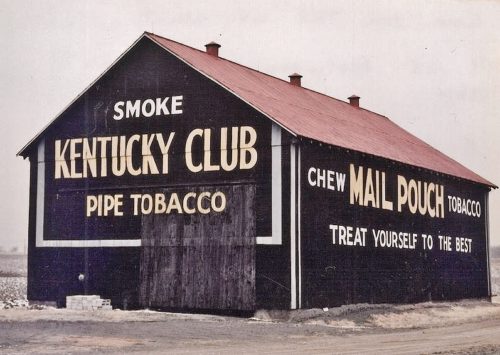
OH-125 southwest of US-62 by about 3.0 miles. The barn is on the right side of the highway headed southwest. Two ends (One Mail Pouch, facing east & one Kentucky Club, facing west). Two sides, facing north and south (Mail Pouch). Black backgrounds.
*GONE* (razed and removed) US Rt. 62 south of OH Rt. 32 by about 0.4 mile. Address is 11791 Hwy. 62, Macon. The barn was on the right side of the highway headed south. The MP/WOW signage faced north. One side. Original black background.
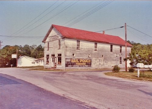
Corner of Main St. & Walnut St. in New Hope. East of US Rt. 68. Mail Pouch sign on the southwest side of the building facing Walnut St. Original black background.
