Other Information
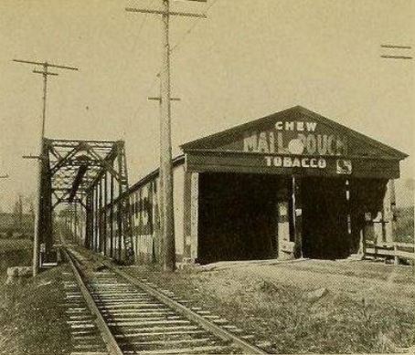
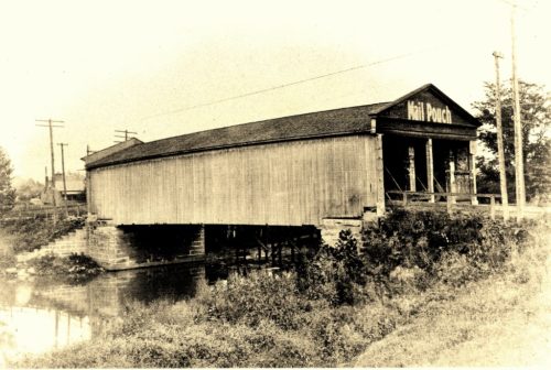
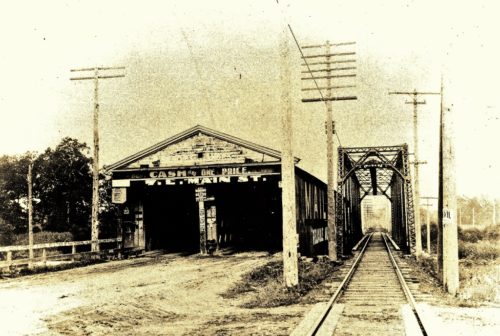
Photo 1 is a view of the northeast end of the bridge. Photos 2 & 3 are views of the southwest end of the bridge. In Photo 3 the Mail Pouch sign on the southeast side of the bridge is visible.
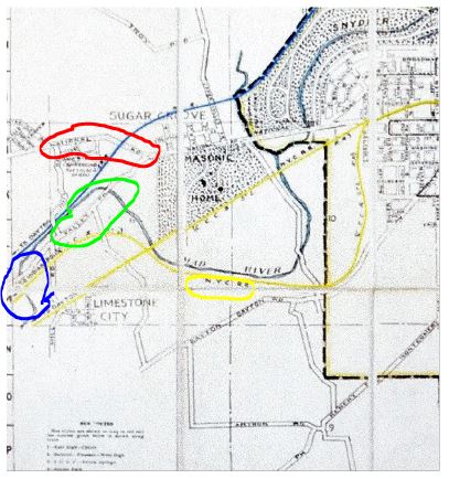
Information on Photos 1-3 indicates that the bridge was in the Dayton Springfield area, Refer to Photo 4 (1939 Springfield RR Map). On the map the National Rd. (US-40), is circled in 'Red'. The Valley Pike (circled in 'Lime') which connects into the National Rd. runs along side of the NYC RR track as the cross the Mad River (location circled in 'Blue'). NYC RR circled in 'Yellow'. The Valley Pike runs along the northwest side of the NYC RR. This makes sense, since in Photo 3 the is an advertisement for an establishment on E. Main St. There is an E. Main St. in Springfield, but not in Dayton. There is no other area in the Dayton Springfield area where this could have occurred.
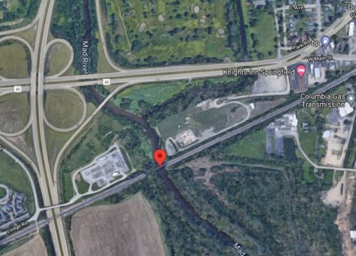
Photo 5 is a Google satellite view (ca. 2020) showing where the bridge would have been located. Note there is no driving access to the site.
Where to find it *GONE* (razed and removed) On US Rt. 40 (Old National Highway) west of Springfield crossing the Mad River. Mail Pouch sign on the Northeast end of the bridge, the southwest end of the bridge and the southeast side of the bridge. Two ends and one side. Black backgrounds.
