MPB 38-03-13

Photo 1
Sides Painted
2
Color
Black
Structure
Barn
Unique Characteristics
None
Still Standing
Yes, Painted over
Credits

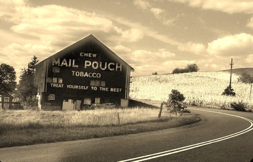
Photo 1 by unknown (1970).

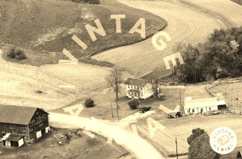
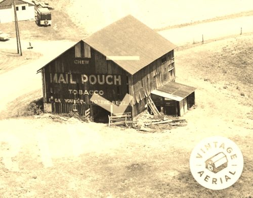
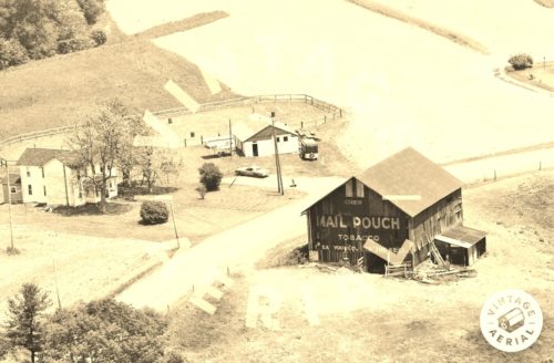
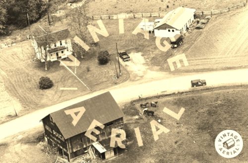
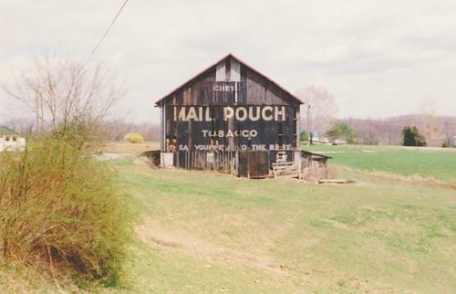
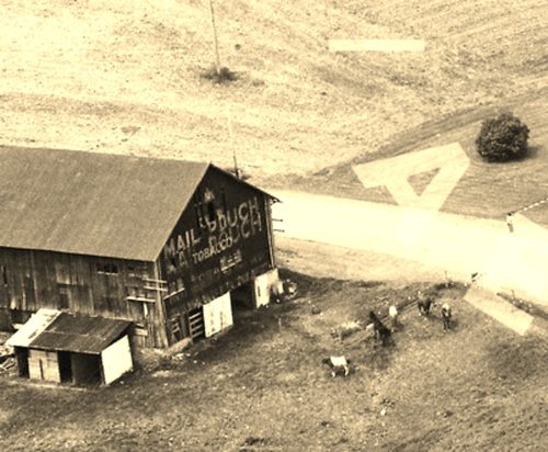
Photos 2 & 3 by unknown VA # 25-PAR-13 (1988) courtesy of Vintage Aerial

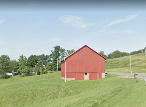
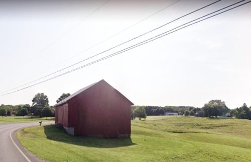
Photos 4 & 9 Google street view (July 2019).

Photos 5 & 6 by unknown VA # 15-NAR-8 (1988) courtesy of Vintage Aerial

Photo 7 by unknown VA # 25-PAR-11 (1988) courtesy of Vintage Aerial

Photo 8 by unknown (ca. 1990's).

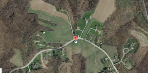
Photo 10 Google satellite image.
Other Information

Photo 2 is an enlarged inset view from Photo 3; and, Photo 5 is an enlarged inset view from Photo 6.

Photos 1-4 are views of the northeast end of the barn.

Photos 5-9 are views of the southwest end of the barn.

Photo 10 (Google satellite image) the red pin is centered on the barn. The pin was used to determine the address and the coordinales.
Where to find it

*GONE* (painted over) Along the south side of Freeport Rd. (TH-3017) northeast of the PA-28 (Allegheny Valley Expressway) interchange by about 3.3 miles. The barn is on the right side of the road headed east. There was a Mail Pouch sign on each end of the barn. Two ends. Black backgrounds.
Address
1607 Freeport Rd.
City
Kittanning
State
PA
Zipcode
16201
Latitude
N 40° 47.38'
Longitude
W -79° 36.36'
lat
40.789645
lng
-79.606081
  • Photo 2
  • Photo 3
  • Photo 4
  • Photo 5
  • Photo 6
  • Photo 7
  • Photo 8
  • Photo 9
  • Photo 10