Other Information
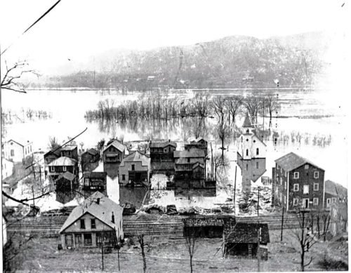
Photo 2 was taken during the 1915 Ohio River flood.
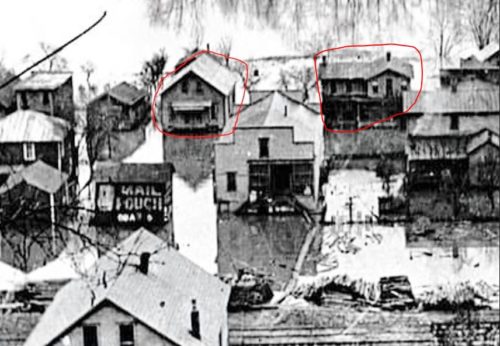
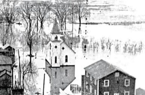
Photos 1 & 3 are enlarged inset views from Photo 2.
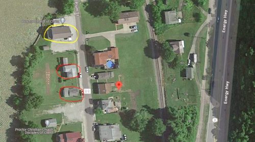
Photos 1 & 6 the houses circled in red still exist from 1915.
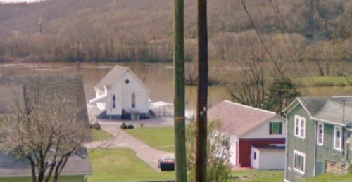
Photo 3 is a view of the Proctor Church of Christ. (circled in yellow in Photo 6). Photo 4 is a 2018 view of the church (without the steeple).
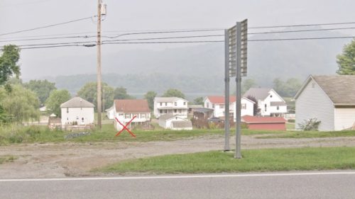
Photo 5 is a Google street view looking into Proctor from Energy Hwy (WV-2). The red 'X' is the approximate location where the Mail Pouch barn once stood.
The red pin on Photo 6 is the approximate location where the Mail Pouch barn once stood. Existing church is circled in yellow.
Where to find it *GONE* (razed and removed) Along the west side of Energy Hwy (WV-2) north of WV-7 intersection at the New Martinsville Bridge, by 4.7 miles. The barn was along the left side of Energy Hwy (WV-2), in the town of Proctor, headed north away from the bridge. The Mail Pouch end faced north. The Mail Pouch side face east. Black backgrounds.
