Other Information
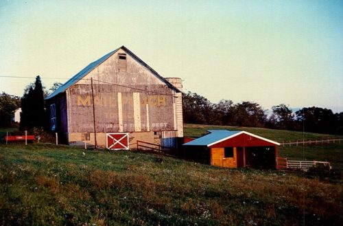
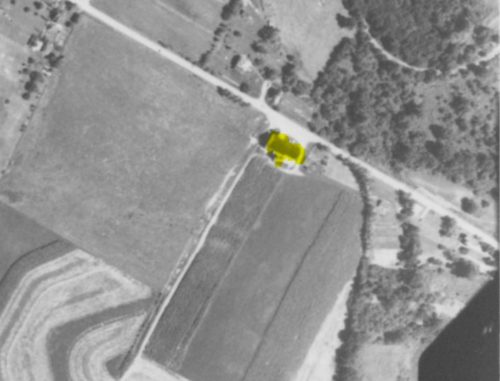
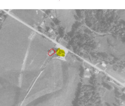
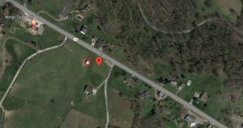
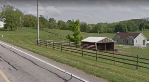
The Penn Pilot program was used to determine the location of where this barn once stood. Photos 4 & 5 both show the barn hi-lited in yellow. In additon, in Photo 5, the small building forward of the barn, noted in Photo 1, is circled in red. This building is still standing and is also circled in red, on the Google satellite image (Photo 6). In addition, this small building is also visible on the Google street view (Photo 7.)
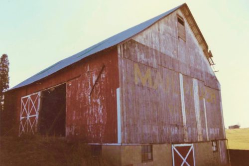
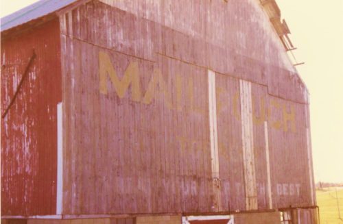
Where to find it *Gone* (razed and removed) PA Rt. 136 west of the PA Rt.43 (Mon-Fayette Expressway) intersection by about 4.2 miles. The barn was on the south side of the highway (left side, headed west). The Mail Pouch sign faced west. One end. Black Background.
