Other Information
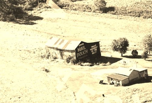
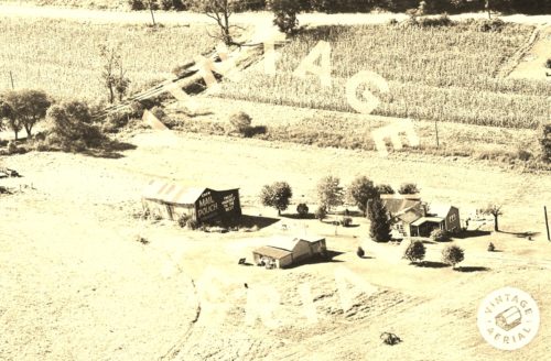
Photo 1 is an enlarged inset view from Photo 2.
The
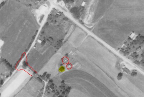
Penn Pilot program was used to locate the approximate location of where the Mail Pouch barn once stood.
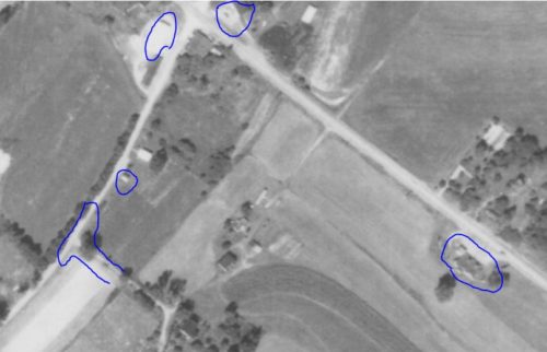
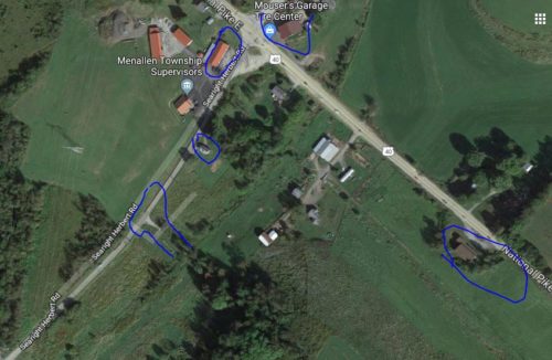
Photo 3 is an aerial view (Sept. 11, 1967) of the site. The Mail Pouch barn is highlighted in yellow. Three features are circled in red that correspond with two structures and the intersection shown in photo 2. Photo 4 is an additional aerial view (Sept. 11, 1967) with five features circled in blue which correspond to the four structures and the intersection circled in blue in photo 5. The existing buildings shown in photo 1 have all been razed and removed. All the buildings on the site now, consisting of a ranch style home, a mobile home and a barn were constructed after the original buildings on the site were razed.
Where to find it *GONE* US Rt. 40 (National Pike/West Main St.) northwest of the US Rt. 119 intersection, in Uniontown, by about 5.0 miles. The barn was on the left side of the highway headed northwest from Uniontown. The Mail Pouch sign faced northeast. One end. Black background.
