Credits
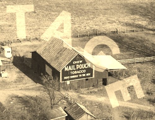
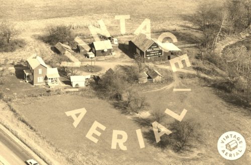
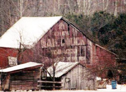
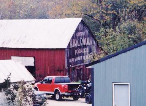
Photos 1 & 2 by unknown VA # 59-PPI-9 (1978) courtesy of
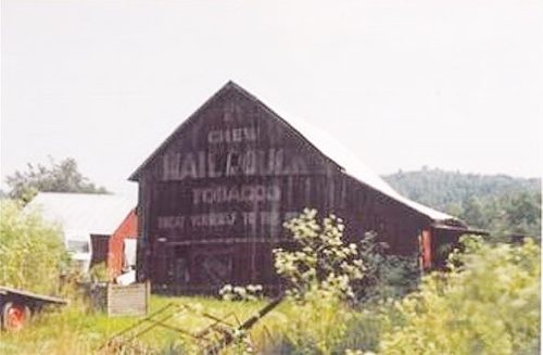
Vintage AerialPhoto 3 by Jim Miller (2000).
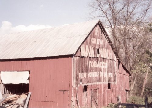
Photo 4 by Lonnie Schnauffer (May 2002).
Photo 5 by unknown>
Photo 6 by Bill & Barb Jacubec (2004).
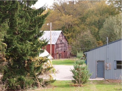
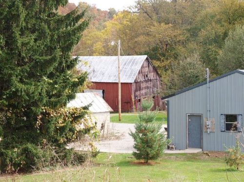
Photos 7 & 8 by Bill Eichelberger (Oct. 10, 2011).
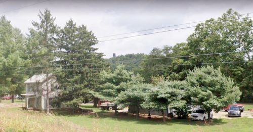
Photo 9 Google street view (Aug. 2022).
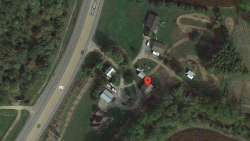
Photo 10 Google satellite image.
Other Information
Photo 1 is an enlarged inset view from Photo 2.
Goolge Pro Historical imagery shows that the barn was gone sometime after July 23, 2015 and a new building in its place by Mar. 4, 2021.
Photo 10 (Google satellite image) the red pin is centered on the barn location. This pin was used to determine the address and the coordinates.
Where to find it *GONE* (razed and removed) Along the east side of US-23/OH-104 (Corridor C) northeast of the High St. intersection, in Waverly, by 3.7 miles. (Just south of the Ross Co. line by about 1000'). The barn was on the right side of the highway headed northeast from Waverly. The Mail Pouch sign faced southwest. One end. Black Background.
