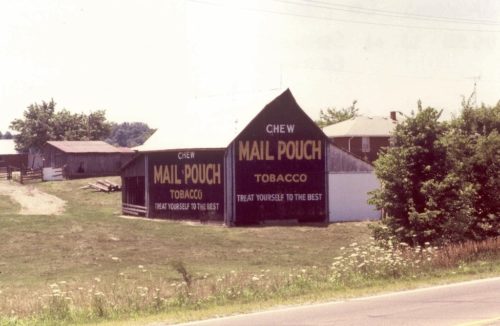
US-50 (W. Tipton St.) southwest of IN-11 (S. Walnut St.), in Seymour, by about 4.4 miles. The barn is on the left side of the highway headed southwest. One end. One side. Black background.
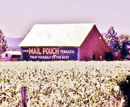
*GONE* (razed and removed) Along the southeast side of W. Tipton St. (US-50) northeast of the intersection with E. Commerce St., in Brownstown, by 1.9 miles. (W. Tipton St. becomes Main St. entering Brownstown). The barn was on the right side of W. Tipton St. headed northeast out of Brownstown. The Mail Pouch sign faced northeast. One side. Black background.
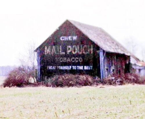
*GONE* Along the south side of IN-250 west of US-31, in Uniontown, by 5.6 miles. The barn was on the left side of the highway headed west toward Brownstown. The Mail Pouch sign faced north. One end. Black background.
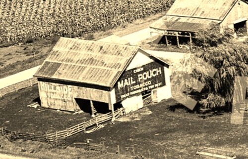
*GONE* (razed and removed) Along the right side of N. County Rd. 760 E just past the intersection with CR-790 E. The Mail Pouch end faced southeast. The Old Hillside tobacco sign faced southwest. Black backgrounds.


