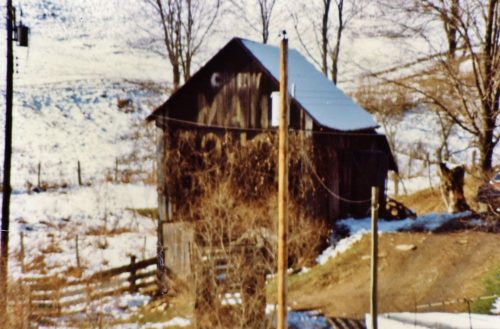
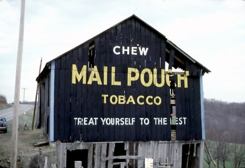
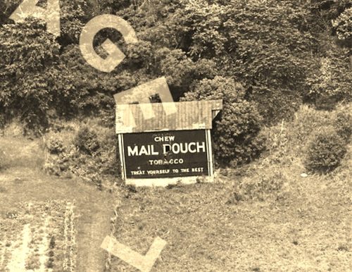
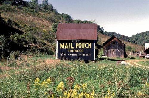
*GONE* (razed and removed) US Rt. 19 (Mt. Morris Rd.) southeast of PA Rt. 21 (E. Roy Furman Hwy.) intersection, in Morrisville, by 7.0 miles. The barn was on the right side of the highway (in the hairpin turn) headed south. The Mail Pouch sign faced east. One end. Black background.
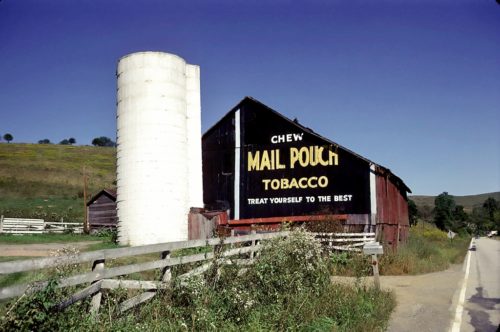
*GONE (razed and removed)* Rt. 21 (W. Roy Furman Hwy.) east of Church St. intersection, in Rogersville, by 1.3 miles. The barn was on the left side of the highway headed northeast. The silo remains as of October 2018. Two ends. Black background.
*GONE (razed and removed)* PA Rt. 21 (East Roy Furman Hwy.) east of I-79, in Waynesburg, by 5.5 miles. Just west of Khedive. The barn was on the right side of the highway headed east. The Mail Pouch sign faced east. One side (as far as can be determined). Black Background.
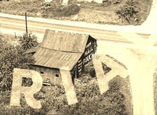
*GONE* (razed and removed) Along the south side of Roy Furman Hwy (PA-21) west of Rush Rd. intersection, in Wind Ridge. by 1.0 mile. The barn was on the left side of the highway headed west from Wind Ridge. The Mail Pouch sign faced west. One end. Black baackground.
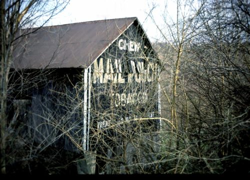
*GONE (barn razed)* PA Rt. 21 west of Main St. intersection, Graysville, by 1.9 miles. The barn was on the left side of the highway headed west. Two ends. black background.
*GONE (razed and removd)* PA Rt. 18 (Brown's Creek Rd.) north of the PA Rt. 18/PA Rt.21 split (west of Waynesburg) by about 8.7 miles. The barn was on the right side of the highway headed north The MP sign faced west. One side. Black background.
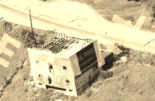
*GONE* US Rt. 19 (Mt. Morris Rd.) south of PA Rt. 21 intersection, in Morrisville, by 5.1 miles. The barn was on the right side of the highway headed south. In photo 1 the Mail Pouch sign facing southeast is visible. Based on the orientation to the road, it is very possible that this barn had a Mail Pouch sign on the northwest end of the barn. Black background.
*GONE* (razed and removed) PA Rt. 18 (Golden Oaks Rd.) southwest of PA Rt. 21 (Roy Furman Hwy.) by about 10.5 miles. The barn was built over a small creek. The barn was on the right side of the highway headed southwest. One end. One side. Black.
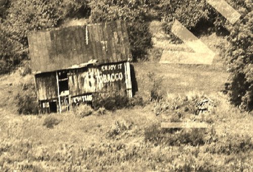
*GONE (razed and removed)* Along PA Rt. 21 (E. Roy Furman Hwy.) northwest of Crees Rd. intersection, in Khedive, by 0.7 miles. The barn was on the hillside along the right side of the highway. The WOW Tobacco sign faced south toward PA Rt. 21. One side. Black background.
