Other Information
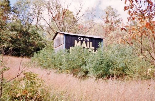
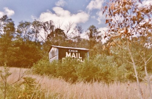
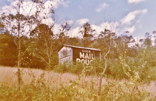
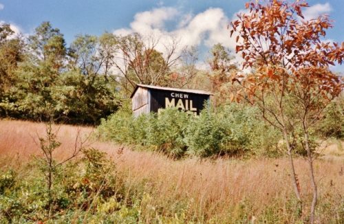
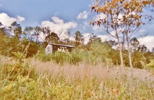
The existence of a barn in this location is based on information in the Larry Zinn photo album. There is an ID system in his albums where he gives a number for each album sleeve. In the inside cover he provides a location. In this instance, the photos for this entry were in sleeves 48-50. Larry describes the location as being directly across the road from the barn photos in sleeves 51-53. The barn in sleeves 51-53 is MPB 48-14-05. In addition, the location description for MPB 48-14-05 (sleeves 51-53) states 'directly across the road from the barn in sleeves 48-50'. Finally, the 35 mm film strip negatives show that the barns were taken in sequence, in Oct. 1989.
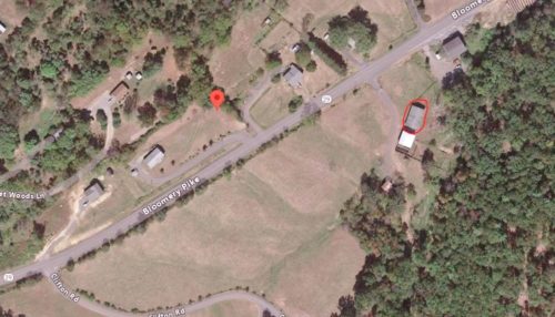
The barn is clearly visible in Historic Aerials' imagery (1971). The distance measurement tool was used to obtain the decimal coordinates of the Mail Pouch barn. The coordinates were input to the Google map program and the red pin on Photo 7 is the exact location where the Mail Pouch barn once stood. The pin was used to determient the adress for the entry. MPB 48-14-05 (across the highway) is circled in red.
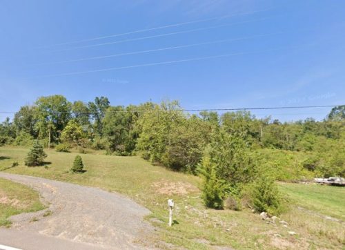
Photo 6 is a view from WV-29 looking in toward where the barn was once located.
Where to find it *GONE* (razed and removed) Along the northwerst side of Bloomery Pike (WV-29) northeast of US-50 intersection by 7.1 miles. The barn was on the left side of the highway headed northeast. The Mail Pouch sign faced southeast. One side. Black background.
