Other Information
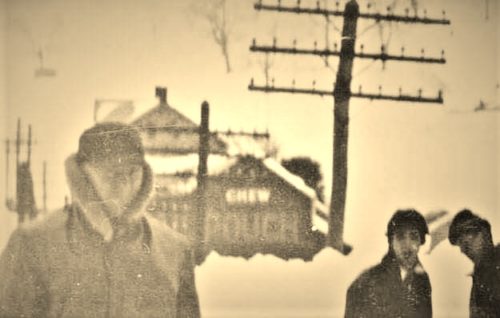
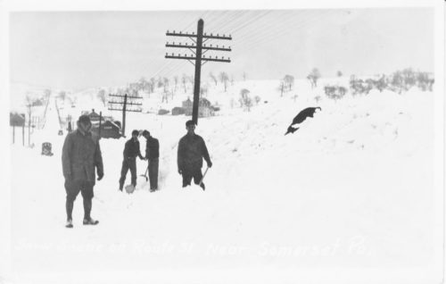
Photo 1 is an inset of photo 2 to better show the Mail Pouch sign.
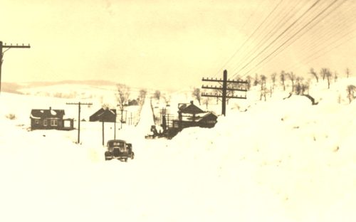
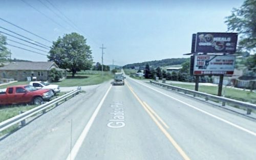
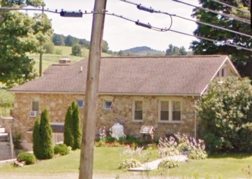
Photos 4 & 5 are a Google street views showing the house on the left side of the street as the same house on the left side of the street in Photo 3 and is used to help identify the location of the old barn.
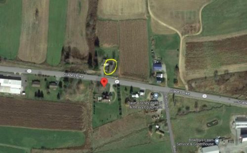
Photo 6 (Google satellite image) shows the house, at the left in Photo 3, circled in yellow.
This was probably during the winter of 1936.
Where to find it *GONE (barn razed)* PA Rt. 31 (Glades Pike) west of the Center Ave. intersection, in Somerset, by 3.5 miles. The barn was on the right side of the highway headed east toward Somerset. The MP sign faced west. Black background.
