Credits
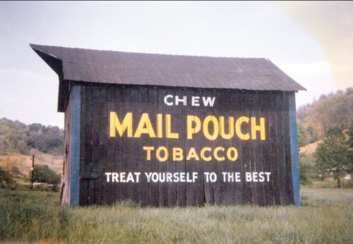
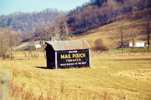
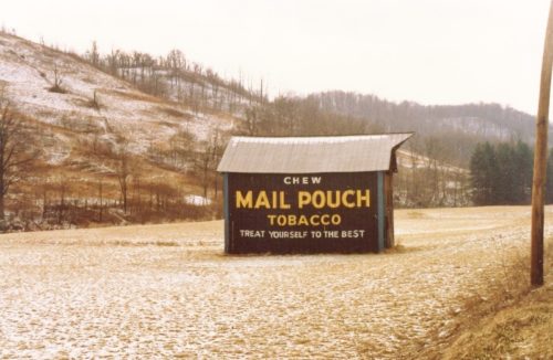
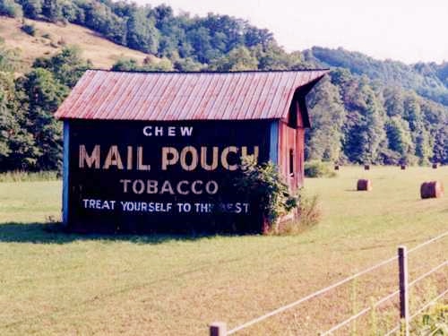
Photos 1 & 6 by Harley Warrick (1974 - Warrick Family Collection).
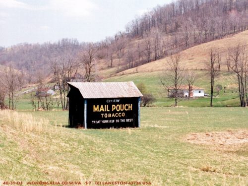
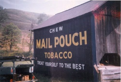
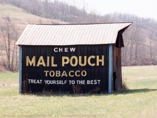
div>Photos 2 & 10 by Jim Langston (ca. 1990's).
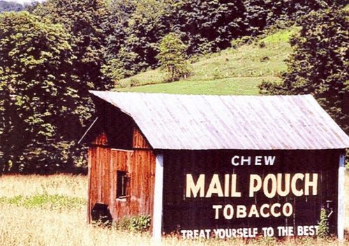
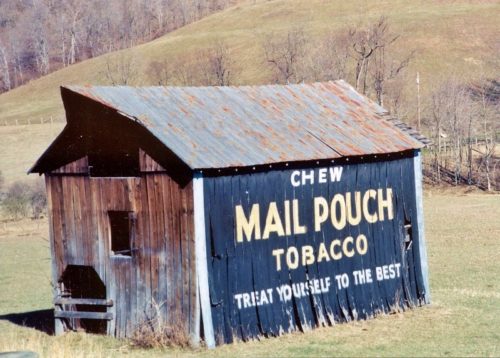
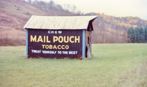
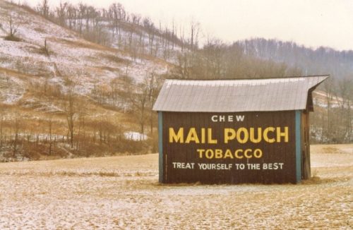
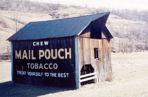
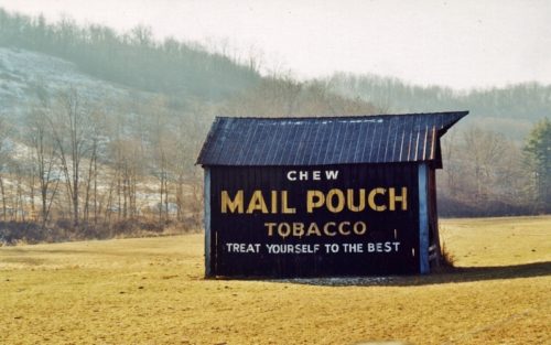
Photos 3, 4, 11 & 12 by unknown.
Photos 5 & 13 by Trish Kane (ca. early 2000's).
Photo 7 by Dave and Mary Ann Shaver (Nov. 2, 1986).
Photos 8 & 9 by Larry Zinn (Feb. 20, 1988 - contributed by Butch Moon).
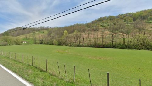
Photo 14 Google street view (Apr. 2023).
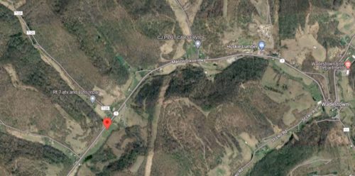
Photo 15 Google satellite image.
Other Information
The barn is clearly visible in Historic Aerials' imagery. The distance measurement tool was used to obtain the decimal coordinates for the barn. The coordinates were input to the Google map program and the red ppin on Photo 15 is the location where the barn once stood.
Steve Shaluta reported this barn gone as of Jan. 2004.
Photos 1-5 are views of the southwest side of the barn.
Photos 7-13 are views of the northeast side of the barn.
Photo 14 is a view looking in at the site from Mason Dixon Hwy.
Where to find it *GONE* (razed and removed) Along the southeast side of Mason Dixon Hwy. (WV-7) northeast of the US-250 intersection intersection by 4.4 miles miles. The barn was on the right side of the highway headed northeast from US-250. Two sides. black backgrounds.
