MPB/KCB 38-03-03

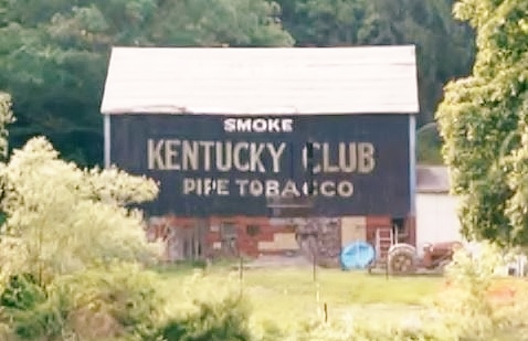
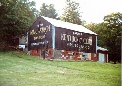
Photo 1
Sides Painted
2
Color
Black
Structure
Barn
Unique Characteristics
None
Still Standing
Yes
Credits

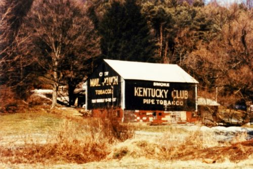
Photo 1 by Dave and Mary Ann shaver (June 28, 1987).

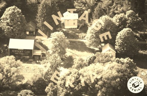
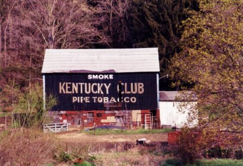
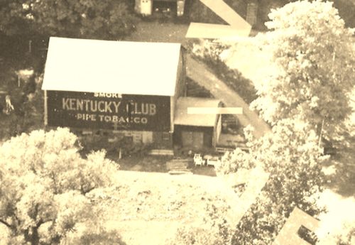
Photos 2 & 3 by unknown VA # 258-PAR-36 (1991) courtesy of Vintage Aerial

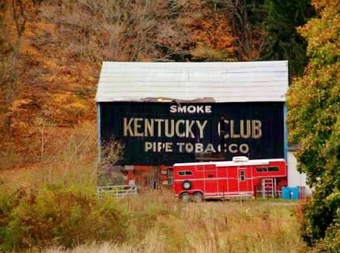
Photos 4 & 7-9 by unknown. 

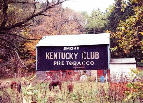
Photo 5 by Lonnie Schnauffer (Oct. 1998). 

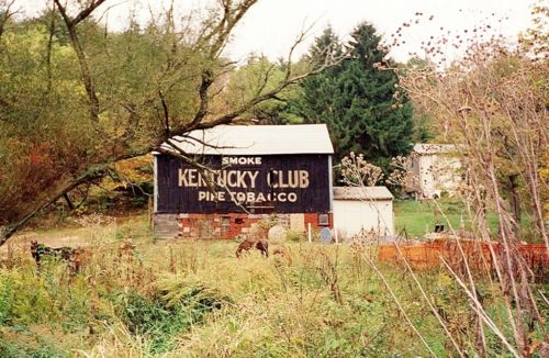
Photo 6 by Dave Tower (Oct. 1998). 

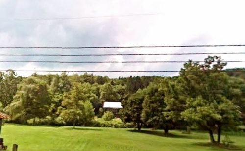
Photo 10 Google street view (Aug. 2009).
Where to find it

Along the southeast side of Laurel Rd. The barn used to be visible from along the nothwest side of Dime Rd. (PA-66A); however, it is now shielded by a tree line. The barn is northeast of the Lincoln Ave. (PA-66) intersection, in Vandergrift, by about 2.8 miles. The barn is on the left side of Dime Rd. (PA-66A) headed northeast. The Mail Pouch sign end faces southwest. The Kentucky Club sign side faces southeast. One end. One side. Black backgounds.
Address
1152 Laurel Rd.
City
Vandergrift
State
PA
Zipcode
15690
Country
USA
Latitude
N 40° 38.41'
Longitude
W -79° 32.22'
lat
40.64014222
lng
-79.53703925
  • Photo 2
  • Photo 3
  • Photo 4
  • Photo 5
  • Photo 6
  • Photo 7
  • Photo 8
  • Photo 9
  • Photo 10