Credits
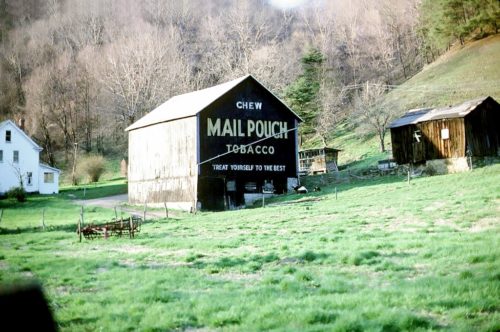
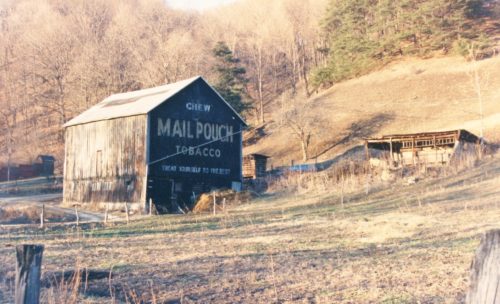
Photo 1 by Fred Yenerall (Apr. 1978).
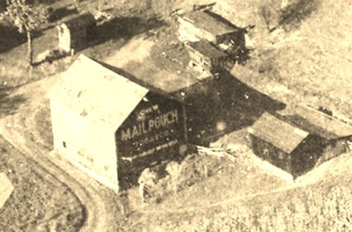
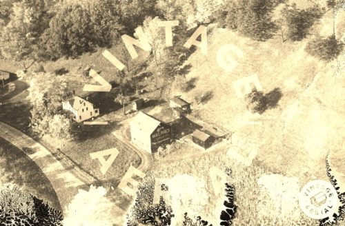
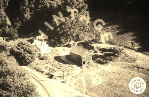
Photos 2 & 3 by unknown VA # 073-PAR-34 (1968) courtesy of
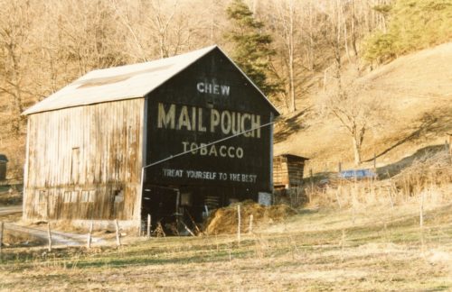
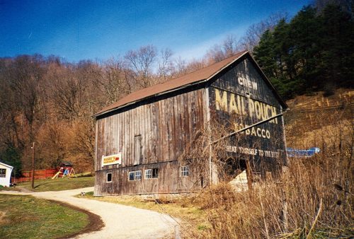
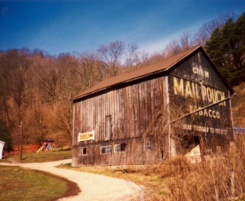
Vintage AerialPhotos 4 & 5 by Larry Zinn (Dec. 1988) (contributed by Butch Moon).
Photos 7 & 8 by Gyla Schnauffer (July 1999).
Photos 9 & 12 by unknown.
Photo 10 by Bethany Armstrong (Aug. 2, 2009).
Photo 11 Google Earth street view (June 2012).
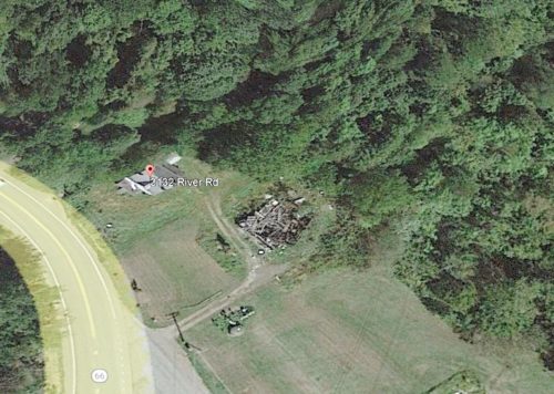
Photo 13 Google Pro Historic Image (Apr. 17, 2016).
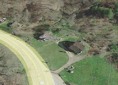
Photo 14 Google Pro Historic Image (Sept. 17, 2019),
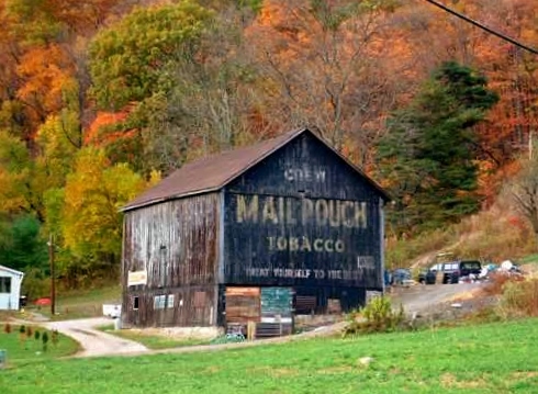
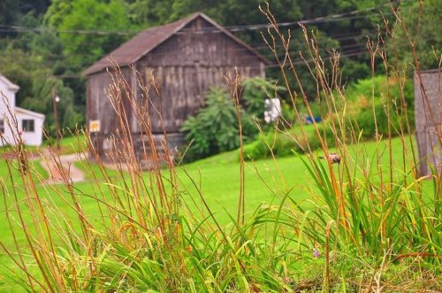
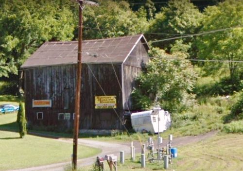
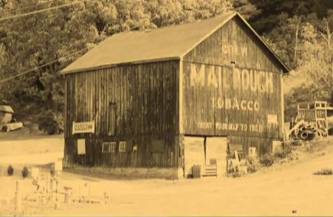
Where to find it *GONE* (fallen) Along the northeast side of PA-66 (River Rd.) northwest of PA-56 (Dime Rd./1st St.), in Vandergrift, by about 3.7 miles. Just past PA-2057 (Airport Rd.). The barn is on the right side of the highway headed north. The Mail Pouch sign faced southeast One end. Black background.
