MPB 35-85-18

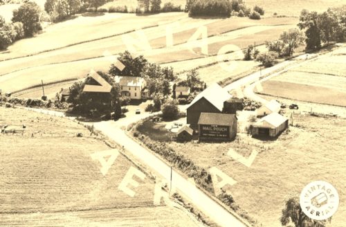
Photo 1
Sides Painted
1
Color
Black
Structure
Barn
Unique Characteristics
None
Still Standing
No
Credits

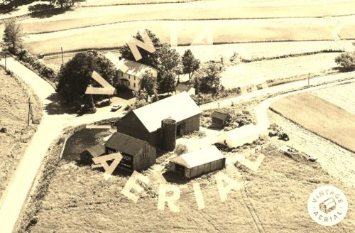
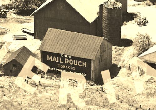
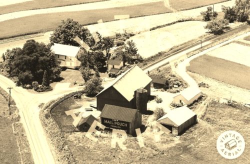
Photos 1 & 2 by unknown VA # 76-NWA-15 (1973) courtesy of Vintage Aerial

Photo 3 by unknown VA # 90-NWA-20 (1973) courtesy of Vintage Aerial

Photo 4 by unknown VA # 90-NWA-24 (1973) courtesy of Vintage Aerial

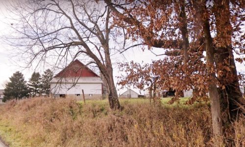
Photo 5 Google street view (Nov. 2021).

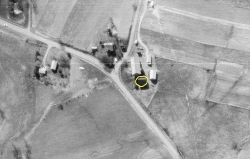
Photo 6 by unknown ODOT # 5817-29-2150 (Apr. 8, 1975) courtesy of Ohio Dept. of Transportation

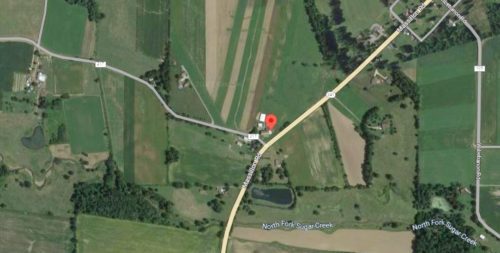
Photo 7 Google satellite image.
Other Information

Photo 1 is an inset view from Photo 2.

Photo 6 the Mail Pouch barn is circled in yellow. The red pin in Photo 7 is centered on where the Mail Pouch barn was once located. This pin was used to determine the coordinates.
Where to find it

*GONE* (razed and removed) Along the northwest side of Massillon Rd. (OH-241) (at Western Rd. (TR-217) intersection) northeast of Dover Rd. (US-250) intersection, in Mt. Eaton, by 2.5 miles. The barn was on the left side of the road headed northeast out of Mt. Eaton. The Mail Pouch sign faced east. One side. Black background.
Address
17617 Western Rd (TR-217)
City
Navarre
State
OH
Zipcode
44662
Country
USA
Latitude
N 40° 43.2323'
Longitude
W -81° 40.4269'
lat
40.720539
lng
-81.673781
  • Photo 2
  • Photo 3
  • Photo 4
  • Photo 5
  • Photo 6
  • Photo 7