MPB 35-59-08

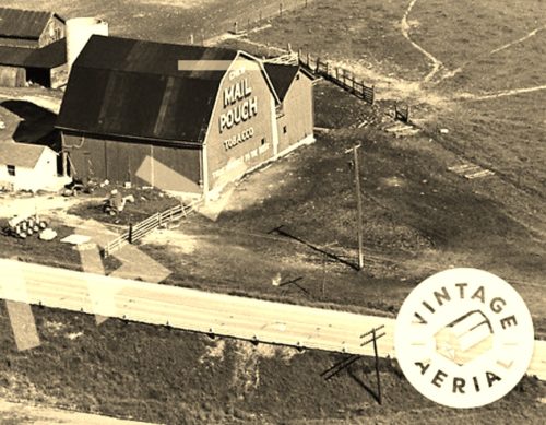
Photo 1
Sides Painted
1
Color
Red
Structure
Barn
Unique Characteristics
Gambrel Roof
Still Standing
No
Credits

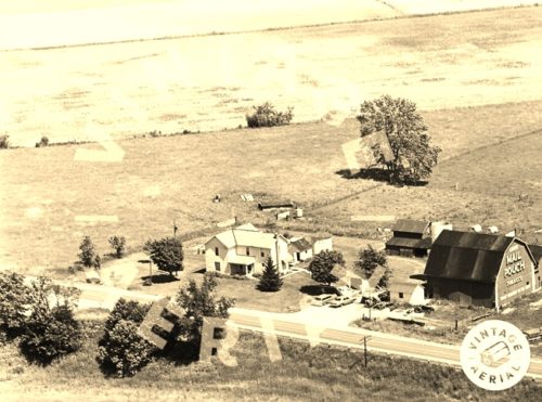
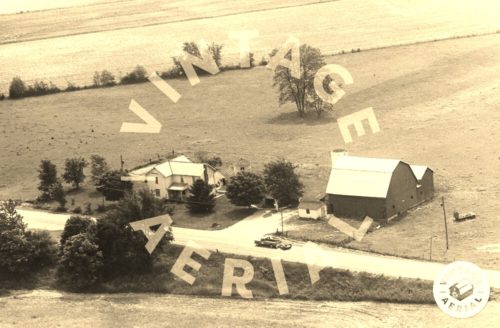
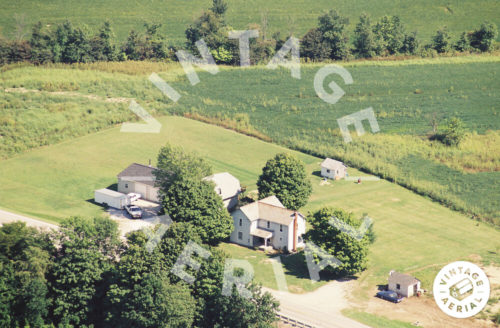
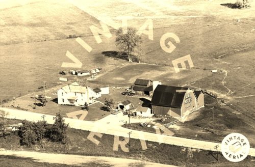
Photo 1 & 2 by unknown VA # 59-SMO-17 (1964) courtesy of Vintage Aerial

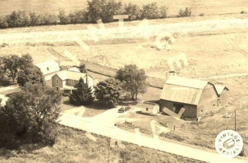
Photo 3 by unknown VA # 45-OMO-12 (1968) courtesy of Vintage Aerial

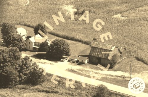
Photo 4 by unknown VA # 41-NMO-6 (1973) courtesy of Vintage aerial

Photo 5 by unknown VA # 50-RMO-18 (1980) courteso of Vintage Aerial

Photo 6 by unknown VA # 85-MMO-5 (1995) courtesy of Vintage Aerial

Photo 7 by unknown VA # 56C-DMO-19 (2001) courtesy of Vintage Aerial

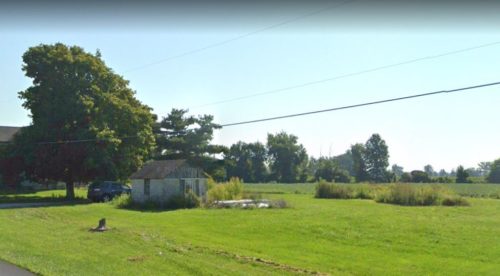
Photo 8 Google street view (Aug. 2021).

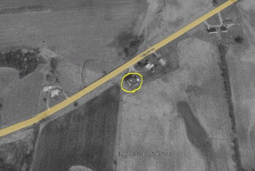
Photo 9 US Geological Survey image (Mar. 17, 1995).

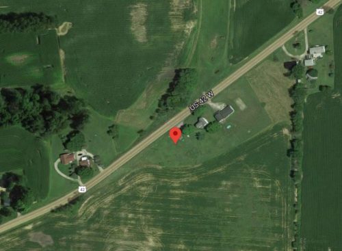
Photo 10 Google satellite image.
Other Information

Photo 1 is an enlarged inset view from Photo 2.

Photo 4 shows that the Mail Pouch sign had been painted over by 1973.

Photo 7 shows that the barn had been razed and removed by 2001.

The red pin on Photo 10 was used to determine the address and the coordinates.
Where to find it

*GONE* (razed and removed) Along the southeast side of US-42 southwest of Marion St. (OH-529) intersection, in Cardington, by 1.6 miles. The barn was on the left side of the highway headed southwest from Cardington. The Mail Pouch sign faced southwest. One end. Red Background.
Address
3661 US-42
City
Cardington
State
OH
Zipcode
43315
Country
USA
Latitude
N 40° 29.5708'
Longitude
W -82° 55.2325'
lat
40.492846
lng
-82.920541
  • Photo 2
  • Photo 3
  • Photo 4
  • Photo 5
  • Photo 6
  • Photo 7
  • Photo 8
  • Photo 9
  • Photo 10