Other Information
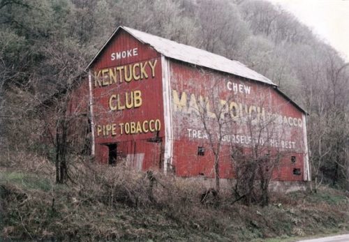
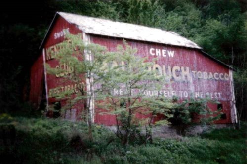
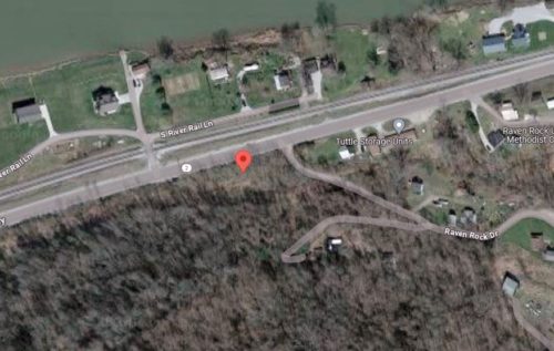
Orignially the barn was noted as being along WV-2 near Waverly, in Wood county; however, thorough review of the Historic Aerials' imagery falied to locate the barn in the Waverly area. Contacting Roger Warrick he noted that his father's photo noted, on the back, the barn location "WV-2 Raven Rock". This barn is clearly visible in Historic Aerials' imagery just to the southwest of Raven Rock Dr. The distance measurement tool was used to obtain the decimal coordinates for the barn. The coordinates were input to the Google map program and the red pin on Photo 4 is the location where the barn once stood. The coordinates were used to determine the address for the entry.
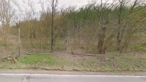
Further examination of the Historic Aerials' imagery indicates that the barn was razed and removed by 1986 and the site cleared. Photo 3 is a Google street view, dated April 2018, which shows the site overgrown with trees and shrubs since the barn removal.
Where to find it *GONE* (razed and removed) Along the south side of N. Pleasants Hwy. (WV-2) northeast of the Old Mill Rd. intersection , in St. Marys, by 2.3 miles. The barn was on the right side of WV-2 headed northeast out of St. Marys. The Mail Pouch sign faced northwest. The Kentucky Club end face northeast. Red backgrounds.


