Other Information
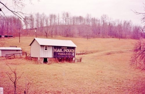
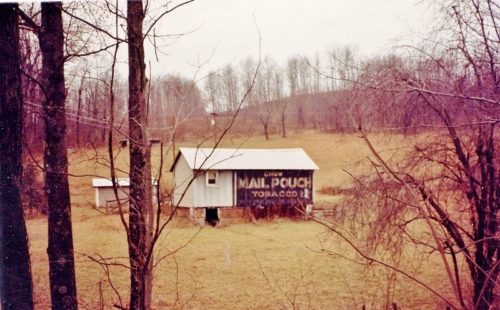
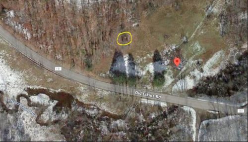
The building with the Mail Pouch sign, the smaller building just beyond and the building in the distance on the hillside beyonnd the Mail Pouch building (See Photos 1 & 2) are all clearly visible in Historic Aerials' imagery (1982). The distance measurement tool was used to determine the Decimal coordinates. The coordinates were input to the Google map program and the red pin on Photo 5 is where the building was once located. The remains of the building in the distance on the hillside is circled in yellow in Photo 5. The coordinates were used to determine an address for the entry.
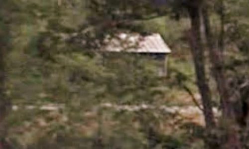
Photo 3 (July 2009) the Mail Pouch building is visible through the trees. It appears that the Mail Pouch sign was gone by that date.
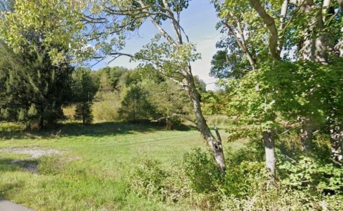
Photo 4 is a view looking in at the site in September 2023 and the building no longer exists.
Where to find it *GONE* Along the North side of Old Elkins Rd. (CR-151/old US-33) southeast of US-33/US-48 by about 4.4 miles. Take exit off of US-33/US-48 at Upper Childers Run Rd. south to intersection with Old Elkins Rd. Follow Old Elkins Rd. to the building on the left side of Old Elkins Rd. headed southeast. The Mail Pouch sign faced southeast. One side. Black background.
