MPB 48-40-04

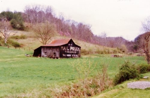
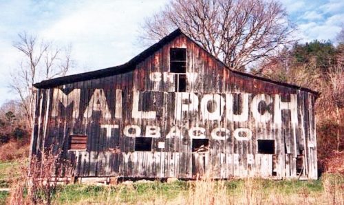
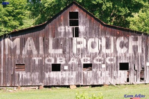
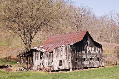
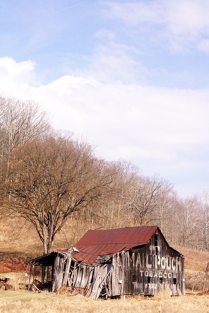
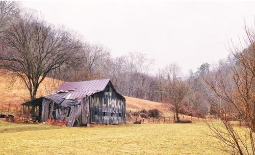
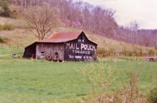
Photo 1
Sides Painted
1
Color
Black
Structure
Barn
Unique Characteristics
None
Still Standing
No
Credits

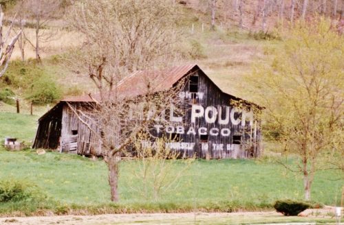
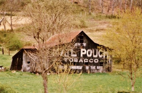
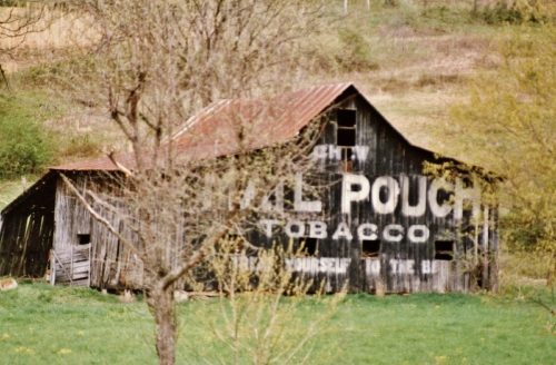
Photos 1-5 by Larry Zinn (Mar. 1987 - contributed by Butch Moon). 

Photo 6 by Larry Baker (Dec. 2002). 

Photo 7 by Elmer Napier. 

Photo 8 by Steven Rotsch (2003). 

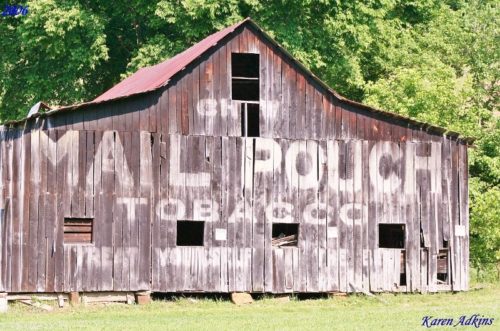
Photos 9 & 10 by Karen Adkins (2006). 

Photo 11 by Bill Schweber (Apr. 6, 2008). 

Photos 12 & 13 by unknown. 

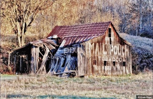
Photo 14 by Ernie Page (Aug. 7, 2013). 

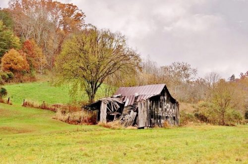
Photo 15 by Patty Moles (Oct. 31, 2013). 

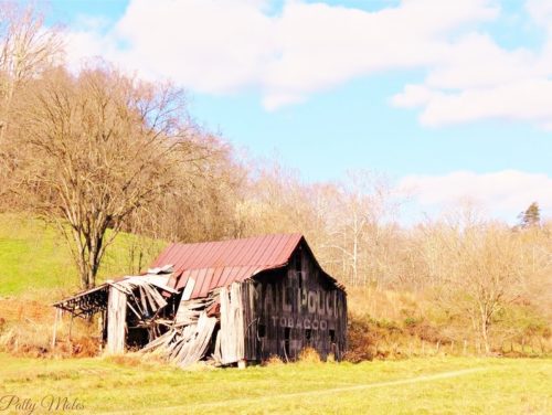
Photo 16 by Patty Moles (Nov. 13, 2013). 

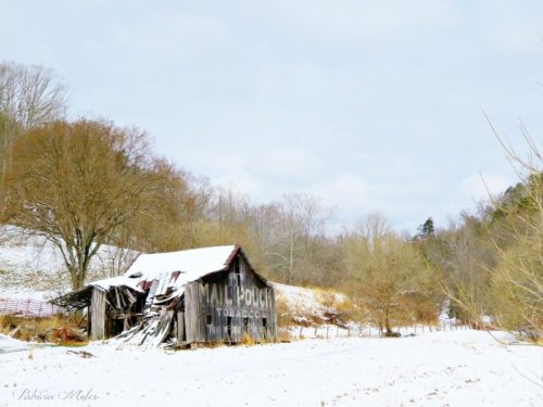
Photo 17 by Patty Moles (March 17, 2014). 

Photos 18-20 by Yoly Molina (Apr. 25, 2014). 

Photo 21 by Greg Puckett (Aug. 22, 2015).

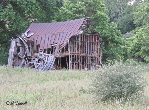
Photo 22 by Val Baldwin Carnell (May 28, 2017).

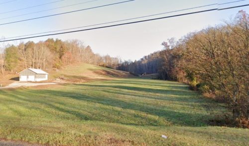
Photo 23 Google street view (Nov. 2022).

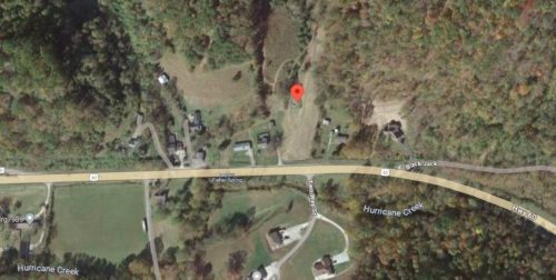
Photo 24 Google satellite image.
Other Information

Photo 22 shows that the Mail Pouch sign had been removed prior to the barn collapse.

Photo 23 (Nov. 2022) shows that the rubble has been removed.

Photo 24 is a Google satellite image which predates the Google street view (Photo 23). The barn rubble is still visible in this image.
Where to find it

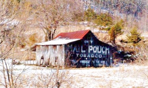
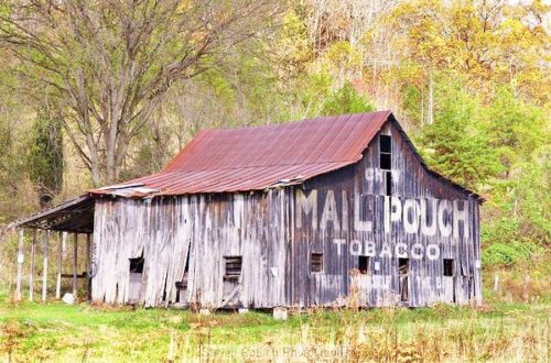
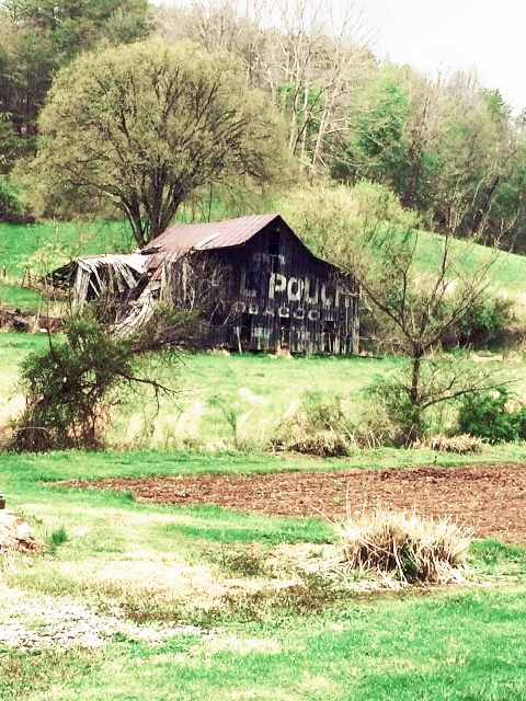
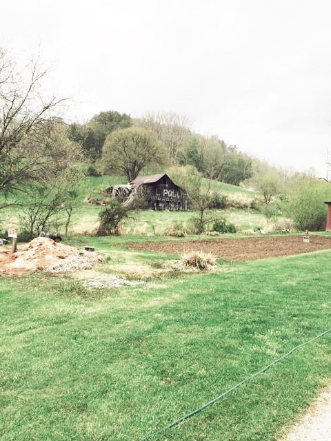
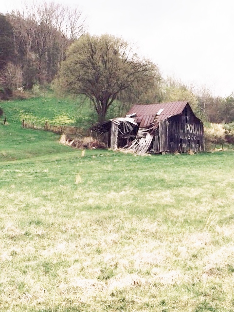
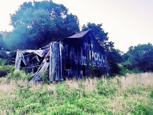
*GONE* (fallen and removed) Along the north side of US-60 east of WV-34 (Chamblin Rd.) intersection by 2.0 miles. The barn was on the left side of the highway headed east. The Mail Pouch sign faced southeast. One end. Black background.

Address
4217 US-60
City
Hurricane
State
WV
Zipcode
25526
Country
USA
Latitude
N 38° 24.83'
Longitude
W -81° 58.59'
lat
38.41383291
lng
-81.976573
  • Photo 2
  • Photo 3
  • Photo 4
  • Photo 5
  • Photo 6
  • Photo 7
  • Photo 8
  • Photo 9
  • Photo 10
  • Photo 11
  • Photo 12
  • Photo 13
  • Photo 14
  • Photo 15
  • Photo 16
  • Photo 17
  • Photo 18
  • Photo 19
  • Photo 20
  • Photo 21
  • Photo 22
  • Photo 23
  • Photo 24