Other Information
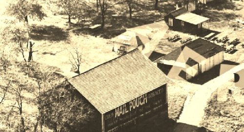
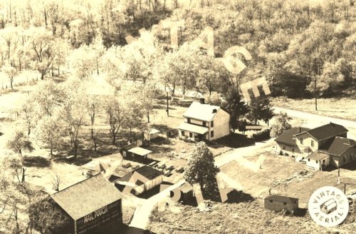
Photo 1 is an enlarged inset view from Photo 2.
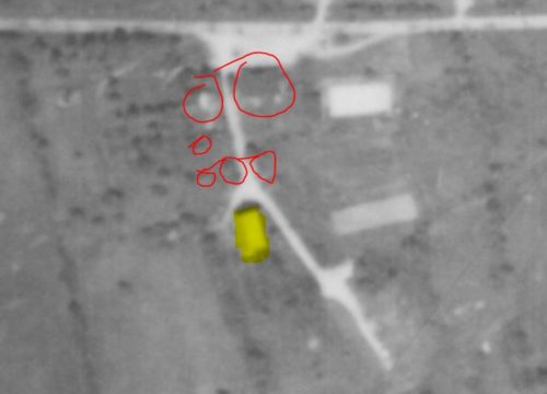
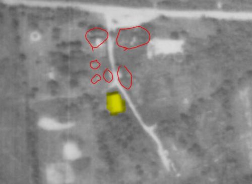
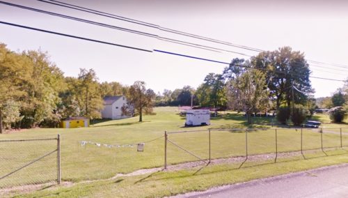
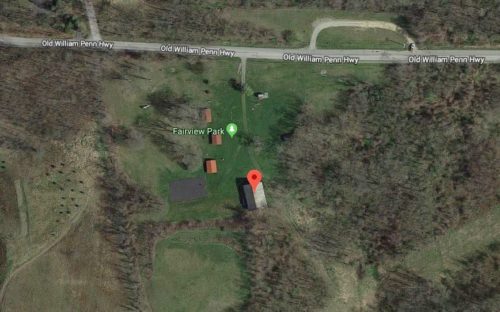
The Penn Pilot program was used to locate the Mail Pouch barn. Photos 3 & 4 (Penn Pilot) show the barn highlighted in yellow and red circles around other structures on the property that are visible in Photo 2. The site was cleared, with the exception of the barn for the creation of Fairview Park. Photo 6 (Google satellite image) was included in the photo list in the event that the barn is razed and does not show up on Google Earth in the future. Photo 5 (Google street view) shows the barn in the distance, now painted over. The trees have now gotten much larger; however, during the time of the photo (1968) the Mail Pouch sign would have been very visible to traffic travelling west on the Old William Penn Highway.
Where to find it *GONE (painted over)* Old William Penn Hwy., southeast of Sheridan Rd. intersection, in Delmont, by about 1.3 miles. The barn is on the south side of the highway (right side headed east). The Mail Pouch sign faced east. One side. Black background.
