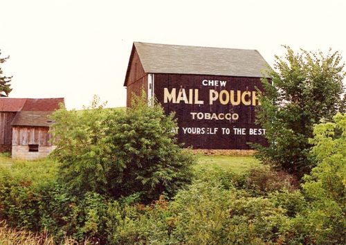
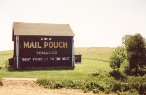
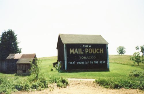
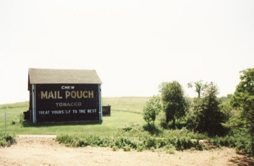
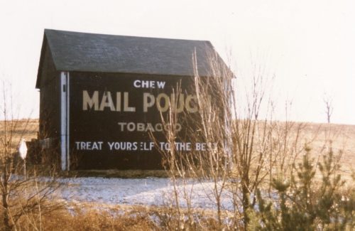
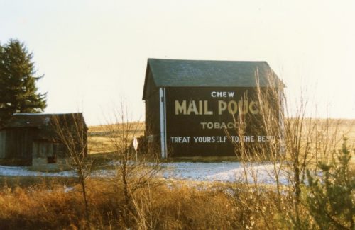
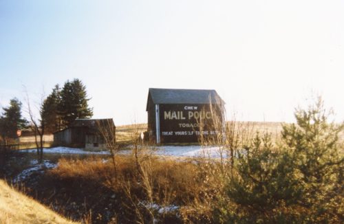
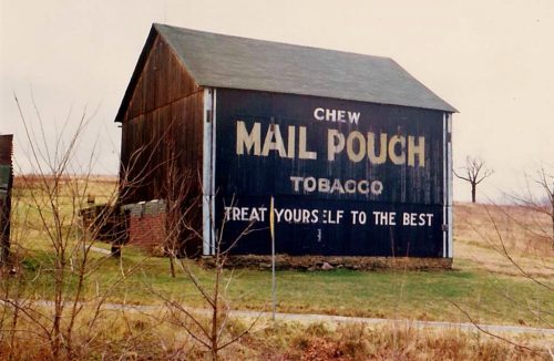
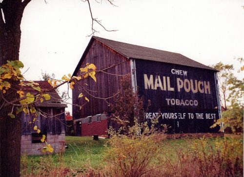
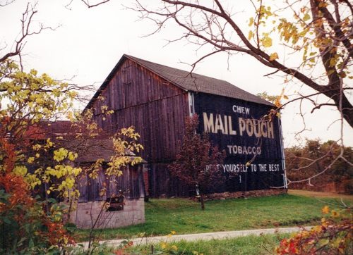
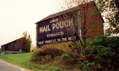
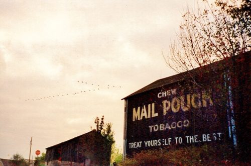
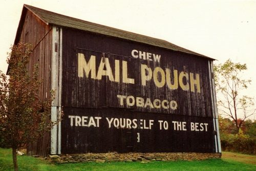
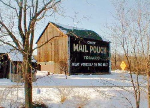
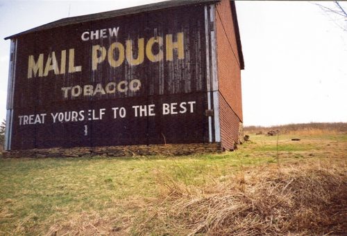
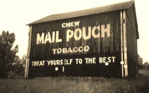
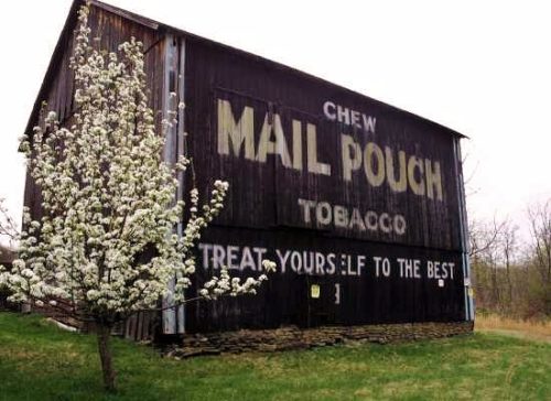
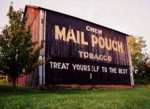
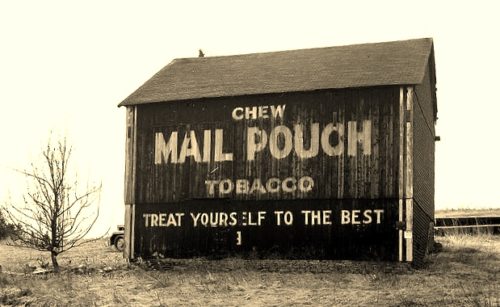
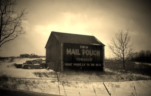
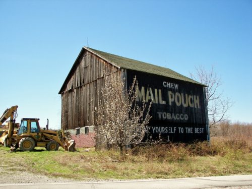
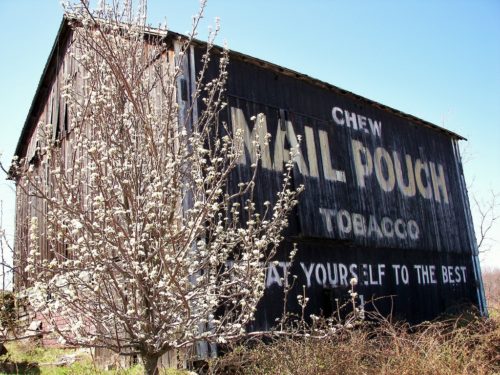
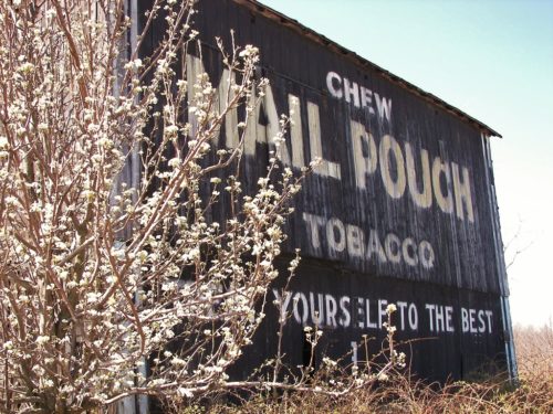
Credits Photo 1 by Dave and Mary Ann Shaver (June 28, 1987).
Photos 2-4 by Larry Zinn (Sept. 1987) (contributed by Butch Moon).
Photos 5-7 by Larry Zinn (Jan. 1990) (contributed by Butch Moon).
Photo 8 by Emerson Miller (1993 - from album donated by daughter Darlene Long).
Photos 9 & 10 by Lonnie Schnauffer (Oct. 1998).
Photos 11-13 by Dave Tower (Oct. 1998).
Photo 14 by Rich Berardinelli.
Photos 15-19 by unknown.
Photo 20 by Robert Dalrymple (Mar. 18, 2006).
Photo 21 by unknown (Feb. 5, 2007).
Photos 22-14 by Gyla Schnauffer (ca. 2007).
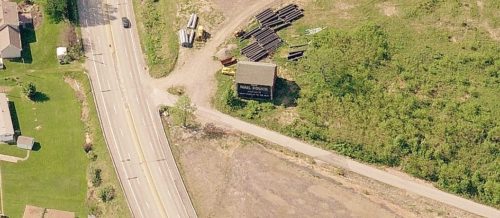
Photo 25 Bing Map's bird's eye view.
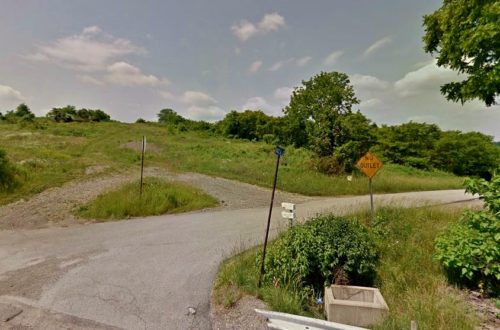
Photo 26 Google Earth street view (May 2012).
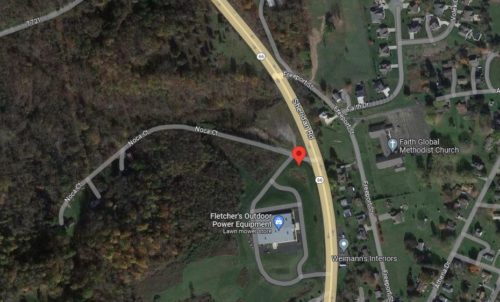
Photo 27 Google satellite image.
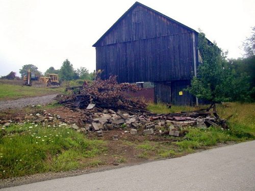
Where to find it *GONE* (razed and removed) PA Rt. 66 (Sheridan Rd.) north of US Rt. 22 (William Penn Hwy.) by about 1.6 miles. Just before Noca Ct. intersection, in Delmont. The barn was on the left side of the highway headed north. The MP sign faced northeast. One side. Black.
