Credits
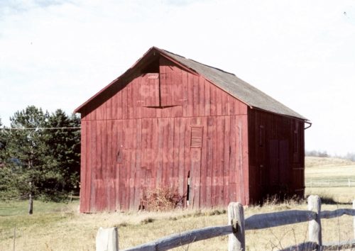
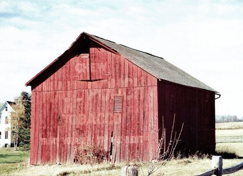
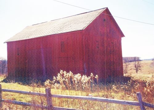
Photos 1-3 by Gyla Schnauffer (1999).
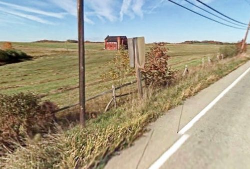
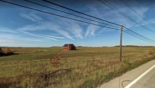
Photo 4 Google street view (Oct. 2008).
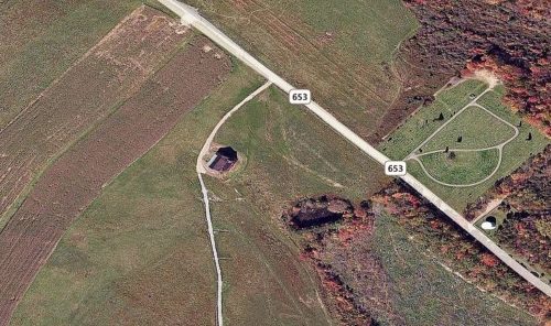
Photo 5 Bing Map's bird's eye view.
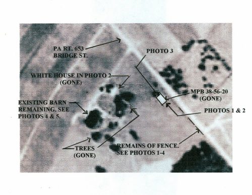
Photo 6 Aerial view (1967 - enlarged and annotated).
Photo 6.1 by unknown Penn Pilot aerial photo 1967.
Photo 7 Google street view (Sept. 2019).
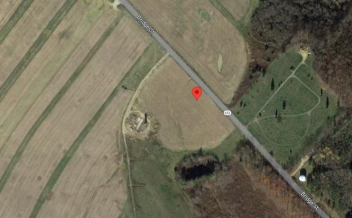
Photo 8 Google satellite image.
Other Information
The barn is clearly shown in Historic Aerials imagery (1986). The distance measurement tool was used and the decimal coordinates for the center of the barn were obtained. The coordinates were input to the Google map program and the red pin on Photo 8 is the exact location where the barn was once located.
The barn and the white house in the background of Photo 2 are gone and the site has been cleared and under cultivation for years. The location of the barn was determined using a 1967 aerial view of the area, which clearly shows the barn, the house and the 2nd barn, on the site, which still remaining in Oct. 2008. Photo 7, which is a 2019 Google street view, shows that the red barn is now gone.
See Photo 6, an enlargement of the Aerial view with annotations. This view is an enlargement of Photo 6.1 and became very blury upon enlargement. Photo 6.1 shows the features very clearly at a very small scale.
Photos 1 & 2 are views of the southeast end of the barn.
Photo 3 is a view of the northwest end of the barn.
Where to find it *GONE* (razed and removed) PA-653 (Bridge St.) southeast of PA-281, intersection, in New Centerville, by about 2.0 miles. The barn was on the right side of the highway headed southeast. Two ends. Original Black Background The barn had been painted red and the old Mail Pouch signs were bleeding through.
