MPB 38-54-01

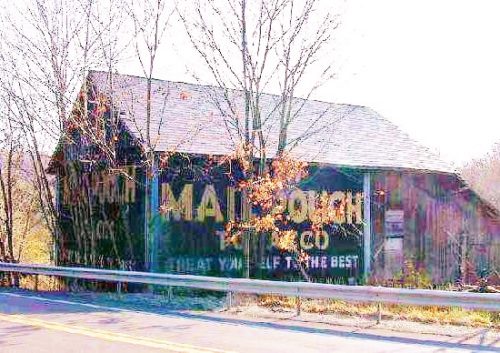
Photo 1
Sides Painted
2
Color
Black
Structure
Barn
Unique Characteristics
None
Still Standing
No
Credits

Photo 1 by James Cooper.

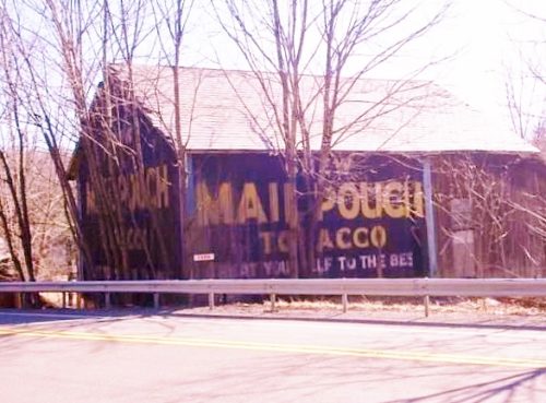
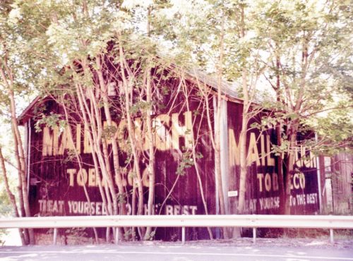
Photo 2 by Lonnie Schnauffer (Aug. 2003).

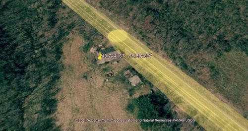
Photo 3 PAMAP/USGS (Mar. 31, 2004).

Photo 4 by unknown (Mar. 14, 2008).

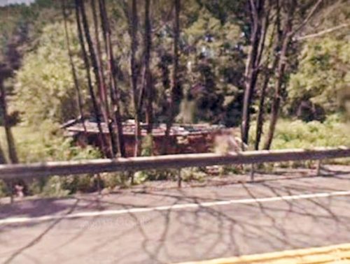
Photo 5 Google street view (Sept. 2009).

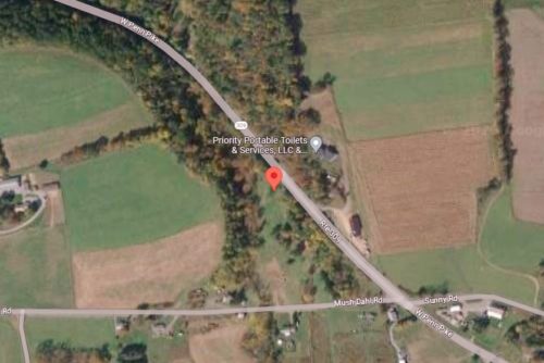
Photo 6 Google satellite image.
Other Information

Reported as burned down in the spring of 2009 by Kimberly Unger.

Photo 5 is a Google street view showing the barn remains.
Where to find it

*GONE* (burned spring 2009) PA-309 (W. Penn Pike), northwest of PA-895 (Lizard Creek Rd.), in Snyders, by 2.8 miles. Site is on the left side while headed northwest, just past Mush Dahl Road. Two Mail Pouch signs. Northeast end and northwest side. Black backgrounds.
Address
365 Mush Dahl Rd
City
New Ringgold
State
PA
Zipcode
17960
Country
USA
Latitude
N 40° 44.65'
Longitude
W -75° 53.68'
lat
40.74421125
lng
-75.89462358
  • Photo 2
  • Photo 3
  • Photo 4
  • Photo 5
  • Photo 6