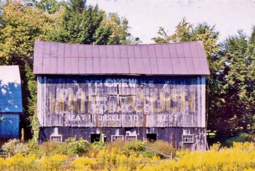
MPB 38-26-12

Photo 1
Sides Painted
1
Color
Black
Structure
Barn
Unique Characteristics
None
Still Standing
No
Credits

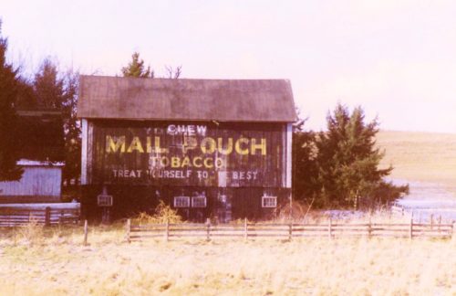
Photo 1 by Bill Plack (1988).

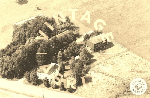
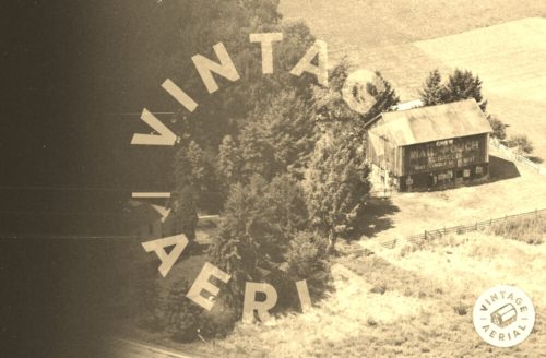
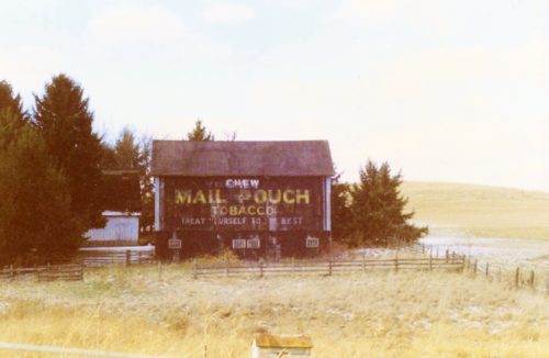
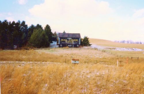
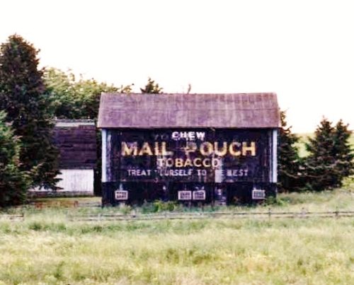
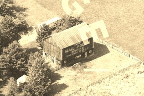
Photos 2 & 3 by unknown VA # 31-TFY-24 (1984) courtesy of Vintage Aerial

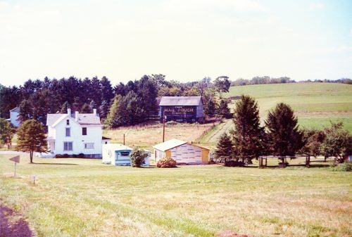
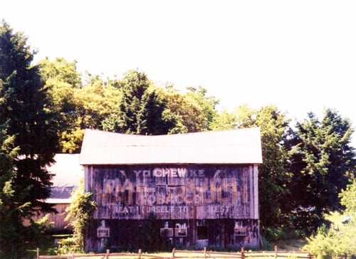
Photo 4 by Dave and Mary Ann Shaver (Sept. 6, 1986).

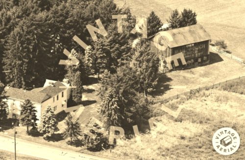
Photo 5 by unknown VA # 524-JFA-23 (1991) courtesy of Vintage Aerial

Photo 6 by unknown VA # 524-JFA-24 (1991) courtesy of Vintage Aerial

Photos 7-9 by Larry Zinn (Dec. 1989) (contributed by Butch Moon). 

Photo 10 by Lonnie Schnauffer (June 2001). 

Photo 11 by unknown.

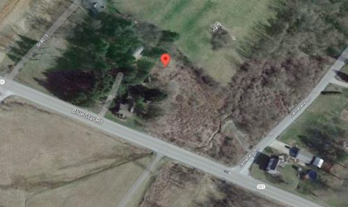
Photo 12 Google satellite image.
Other Information

Photo 2 is an enlarged inset view from Photo 3.

The GPS coordinates are near the center of the barn rubble.
Where to find it

*GONE* (fallen) PA Rt. 201 (Fayette City Rd.), southeast of PA Rt. 51 (Pittsburg Rd.) by about 1.2 miles just northwest of the PA Rt. 201/Cemetery Road intersection. Barn on left side of the highway headed southeast. Sign faced southeast. One side. Black.
Address
1410 Fayette City Rd (PA-201)
City
Perryopolis
State
PA
Zipcode
15473
Country
USA
Latitude
N 40° 02.5650'
Longitude
W -79° 45.0389'
lat
40.042750
lng
-79.750649
  • Photo 2
  • Photo 3
  • Photo 4
  • Photo 5
  • Photo 6
  • Photo 7
  • Photo 8
  • Photo 9
  • Photo 10
  • Photo 11
  • Photo 12