MPB 38-14-11

Photo 1
Sides Painted
1
Color
Red
Structure
Barn
Unique Characteristics
None
Still Standing
No
Credits

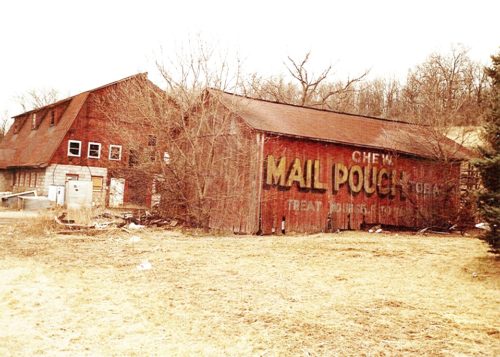
Photo 1 by Dave and Mary Ann Shaver (Feb. 20, 1989).

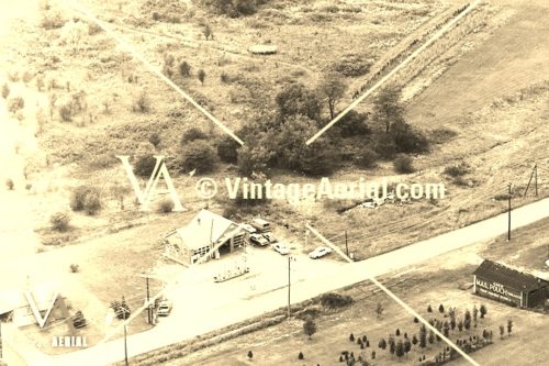
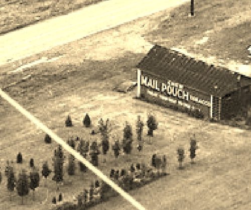
Photos 2 & 3 by unknown VA # 45-MCE-7 (1972) courtesy of Vintage Aerial

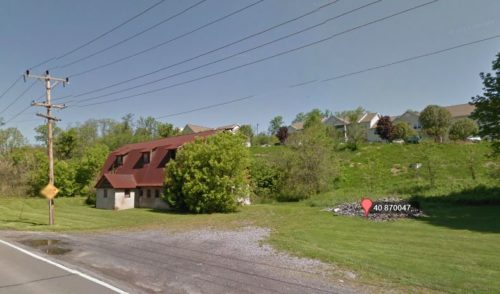
Photo 4 Google street view (May 2012).

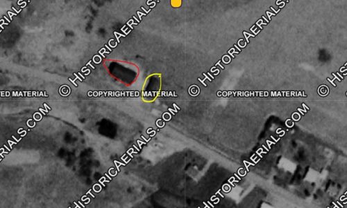
Photo 5 Historic Aeiral imagery (1971) courtesy of Historic Aerials

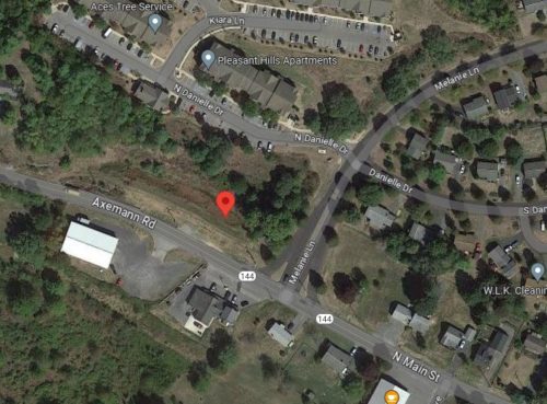
Photo 6 Google satellite image.
Other Information

Photo 2 is an enlarged inset view from Photo 3.

Photo 4 the red pin is above the barn rubble.

Photo 5 the brn is circled in yellow and the huse (seen in Photo 1, is circled in red. The location in Photos 5 and 6 all based on the same coordinates.
Where to find it

*GONE* (razed and removed) Along the northeast side of PA-144 (N. Main St./Axemann Rd.), in Pleasant Gap, northwest of PA-26 (College Ave.), by about 0.4 mile. The barn was on the right side of the street headed northwest. The Mail Pouch sign faced southeast. One side. Red background.
Address
257 N Main St (Axemann Rd/PA-144)
City
Pleasant Gap
State
PA
Zipcode
16823
Country
USA
Latitude
N 40° 52.20'
Longitude
W -77° 45.19'
lat
40.87001206
lng
-77.7532254
  • Photo 2
  • Photo 3
  • Photo 4
  • Photo 5
  • Photo 6